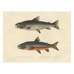
Rare Hand-Colored Fish Print of the Brown Trout and the Brook Trout, 1842
View Similar Items
Want more images or videos?
Request additional images or videos from the seller
1 of 5
Rare Hand-Colored Fish Print of the Brown Trout and the Brook Trout, 1842
About the Item
- Dimensions:Height: 13.78 in (35 cm)Width: 21.26 in (54 cm)Depth: 0 in (0.02 mm)
- Materials and Techniques:
- Period:
- Date of Manufacture:1842
- Condition:Condition: Good, given age. Light scattered foxing. Please study image carefully.
- Seller Location:Langweer, NL
- Reference Number:Seller: PCT-57751 1stDibs: LU3054327384672
About the Seller
5.0
Platinum Seller
These expertly vetted sellers are 1stDibs' most experienced sellers and are rated highest by our customers.
Established in 2009
1stDibs seller since 2017
2,205 sales on 1stDibs
Typical response time: 1 hour
Authenticity Guarantee
In the unlikely event there’s an issue with an item’s authenticity, contact us within 1 year for a full refund. DetailsMoney-Back Guarantee
If your item is not as described, is damaged in transit, or does not arrive, contact us within 7 days for a full refund. Details24-Hour Cancellation
You have a 24-hour grace period in which to reconsider your purchase, with no questions asked.Vetted Professional Sellers
Our world-class sellers must adhere to strict standards for service and quality, maintaining the integrity of our listings.Price-Match Guarantee
If you find that a seller listed the same item for a lower price elsewhere, we’ll match it.Trusted Global Delivery
Our best-in-class carrier network provides specialized shipping options worldwide, including custom delivery.More From This Seller
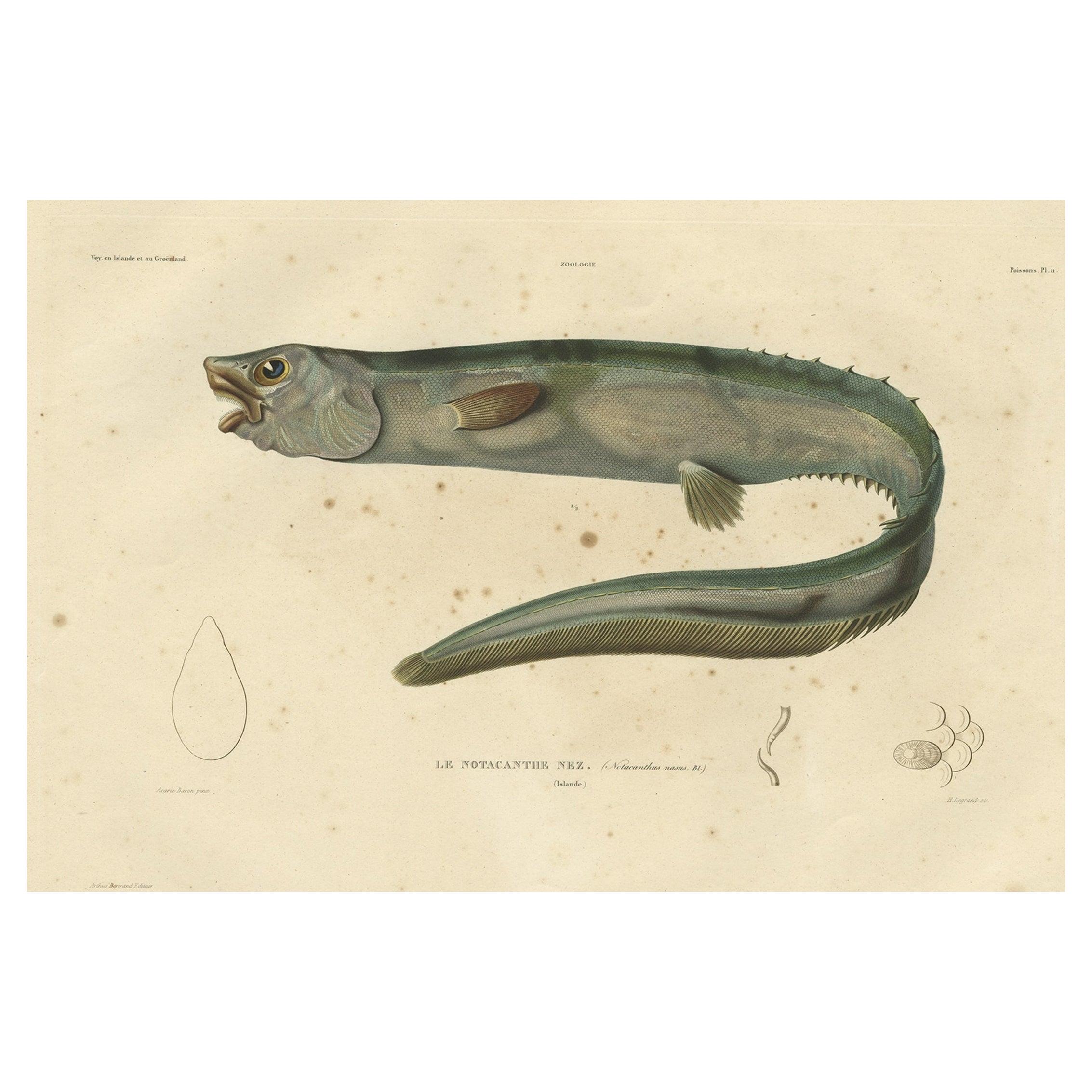
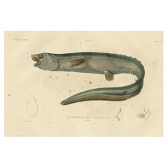
View AllAntique Hand-Colored Fish Print of the Snub-Nosed Spiny Eel, 1842
Located in Langweer, NL
Antique print, titled: 'Poissons Plate 11 - Le Notacanthe Nez (Notacanthus nasus).' - This rare plate shows the snub-nosed spiny eel (Notacanthus chemnitzii). From: 'Voyage en Island...
Category
Antique 1840s Prints
Materials
Paper
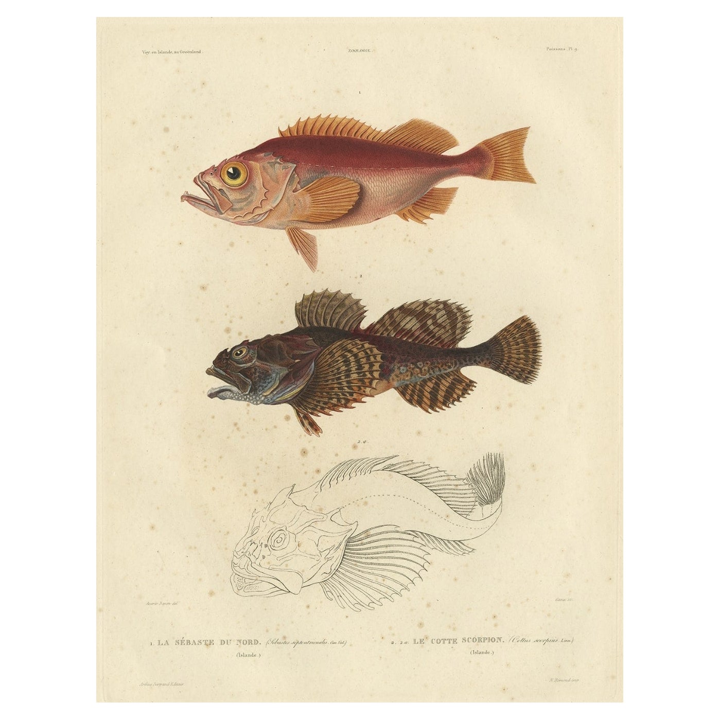
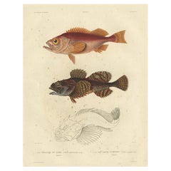
Rare Fish Print of the Norway Redfish 'Sebastes Viviparus' and the Sculpin, 1842
Located in Langweer, NL
Antique print, titled: 'Poissons Plate 9 - La Sebaste du Nord (Sebastes septentrionalis) - Le Cotte Scorpion (Cottus scorpius).' - This rare plate shows the Norway redfish (Sebastes ...
Category
Antique 1840s Prints
Materials
Paper
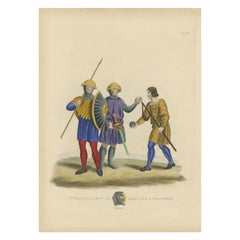
Antique Hand-Colored Print of a Spearman, 1842
Located in Langweer, NL
Antique print titled 'A Spearman, Man at Arms and a Slinger'. Old print of a spearman, slinger and man at arms. This print originates from 'A critical inquiry into antient armour as ...
Category
Antique 19th Century Prints
Materials
Paper
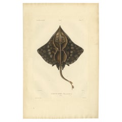
Rare Hand-Colored Antique Fish Print of the Gaimard's Ray, 1842
Located in Langweer, NL
Antique print, titled: 'Poissons Plate 2 - La Raie de Gaimard (Raia gaimardi).' - This rare plate shows the Gaimard's ray. From: 'Voyage en Islande et au Groenland' by M. Paul Gaimar...
Category
Antique 1840s Prints
Materials
Paper
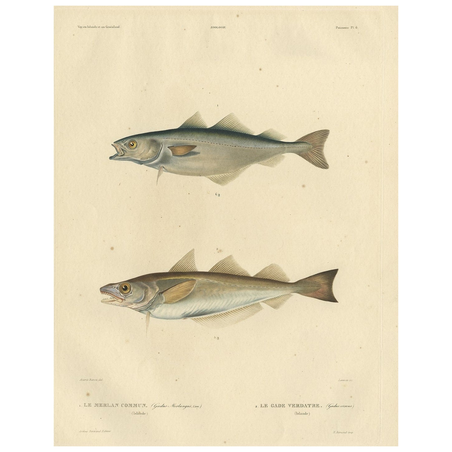
Original Antique Hand-coloured Fish Print of the Whiting, Merling & Saithe, 1842
Located in Langweer, NL
Antique print, titled: 'Poissons Plate 6 - Le Merlan Commun (Gadus merlangus) - Le Gade Verdatre (Gadus virens).'
This rare plate shows the Merlangius merlangus, commonly known a...
Category
Antique 1840s Prints
Materials
Paper
Old Rare Fish Print of the Witch Flounder or Torbay Sole, 1842
Located in Langweer, NL
Antique print, titled: 'Poissons Plate 13 - La Pole (Pleuronectes nigromanus).' - This rare plate shows the Witch flounder or Torbay sole (Glyptocephalus cynoglossus). From: 'Voyage ...
Category
Antique 1840s Prints
Materials
Paper
You May Also Like
The Normandy Region of France: A 17th C. Hand-colored Map by Sanson and Jaillot
By Nicolas Sanson
Located in Alamo, CA
This large hand-colored map entitled "Le Duché et Gouvernement de Normandie divisée en Haute et Basse Normandie en divers Pays; et par evêchez, avec le Gouvernement General du Havre ...
Category
Antique 1690s French Maps
Materials
Paper
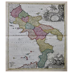
The Kingdom of Naples and Southern Italy: A Hand-Colored 18th Century Homann Map
By Johann Baptist Homann
Located in Alamo, CA
"Novissima & exactissimus Totius Regni Neapolis Tabula Presentis Belli Satui Accommo Data" is a hand colored map of southern Italy and the ancient Kingdom of Naples created by Johann...
Category
Antique Early 18th Century German Maps
Materials
Paper
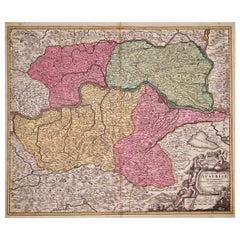
Hand Colored 18th Century Homann Map of Austria Including Vienna and the Danube
By Johann Baptist Homann
Located in Alamo, CA
"Archiducatus Austriae inferioris" is a hand colored map of Austria created by Johann Baptist Homann (1663-1724) and published in Nuremberg, Germany in 1728 shortly after his death. ...
Category
Antique Early 18th Century German Maps
Materials
Paper
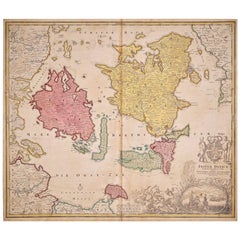
Hand-Colored 18th Century Homann Map of Denmark and Islands in the Baltic Sea
By Johann Baptist Homann
Located in Alamo, CA
An 18th century copper plate hand-colored map entitled "Insulae Danicae in Mari Balthico Sitae utpote Zeelandia, Fionia, Langelandia, Lalandia, Falstria, Fembria Mona" created by Joh...
Category
Antique Early 18th Century German Maps
Materials
Paper
Hand-Colored 18th Century Homann Map of the Black Sea, Turkey and Asia Minor
By Johann Baptist Homann
Located in Alamo, CA
An attractive original early 18th century hand-colored map of the Black Sea and Turkey entitled "Carte de L'Asie Minevre ou de la Natolie et du Pont Evxin Tiree des Voyages et des Ob...
Category
Antique Early 18th Century German Maps
Materials
Paper
Large 17th Century Hand Colored Map of England and the British Isles by de Wit
By Frederick de Wit
Located in Alamo, CA
A large hand colored 17th century map of England and the British Isles by Frederick de Wit entitled "Accuratissima Angliæ Regni et Walliæ Principatus", published in Amsterdam in 1680. It is a highly detailed map of England, Scotland, the Scottish Isles...
Category
Antique Late 17th Century Dutch Maps
Materials
Paper
