Items Similar to Old Vatican Frescoes; Separation of Land from Sea & The Creation of Eve, ca.1780
Want more images or videos?
Request additional images or videos from the seller
1 of 5
Old Vatican Frescoes; Separation of Land from Sea & The Creation of Eve, ca.1780
About the Item
Antique print religion titled 'Producant Aquae Reptile Animae Viventis (..)'.
This print depicts the seperation of Land from Sea and the Creation of Eve. Originates from 'Frescoes in the Sistine Chapel'.
The Sistine Chapel is a chapel in the Apostolic Palace, in Vatican City and the official residence of the pope. Originally known as the Cappella Magna ('Great Chapel'), the chapel takes its name from Pope Sixtus IV, who had it built between 1473 and 1481. Since that time, the chapel has served as a place of both religious and functionary papal activity. Today, it is the site of the papal conclave, the process by which a new pope is selected. The fame of the Sistine Chapel lies mainly in the frescoes that decorate the interior, most particularly the Sistine Chapel ceiling and The Last Judgment, both by Michelangelo.
Artists and Engravers: Engraved by Domenico Cunego after Michelangelo Buonarotti.
- Dimensions:Height: 30.32 in (77 cm)Width: 20.67 in (52.5 cm)Depth: 0 in (0.02 mm)
- Materials and Techniques:
- Period:1780-1789
- Date of Manufacture:circa 1780
- Condition:Wear consistent with age and use. Condition: Good, minor foxing in image. Outside image some foxing and minor defects from handling. Please study image carefully.
- Seller Location:Langweer, NL
- Reference Number:Seller: BG-080121stDibs: LU3054327420872
About the Seller
5.0
Recognized Seller
These prestigious sellers are industry leaders and represent the highest echelon for item quality and design.
Platinum Seller
Premium sellers with a 4.7+ rating and 24-hour response times
Established in 2009
1stDibs seller since 2017
2,417 sales on 1stDibs
Typical response time: <1 hour
- ShippingRetrieving quote...Shipping from: Langweer, Netherlands
- Return Policy
Authenticity Guarantee
In the unlikely event there’s an issue with an item’s authenticity, contact us within 1 year for a full refund. DetailsMoney-Back Guarantee
If your item is not as described, is damaged in transit, or does not arrive, contact us within 7 days for a full refund. Details24-Hour Cancellation
You have a 24-hour grace period in which to reconsider your purchase, with no questions asked.Vetted Professional Sellers
Our world-class sellers must adhere to strict standards for service and quality, maintaining the integrity of our listings.Price-Match Guarantee
If you find that a seller listed the same item for a lower price elsewhere, we’ll match it.Trusted Global Delivery
Our best-in-class carrier network provides specialized shipping options worldwide, including custom delivery.More From This Seller
View AllPrint of the Vegetation & Sun & Moon, from Frescoes in the Sistine Chapel, c1780
Located in Langweer, NL
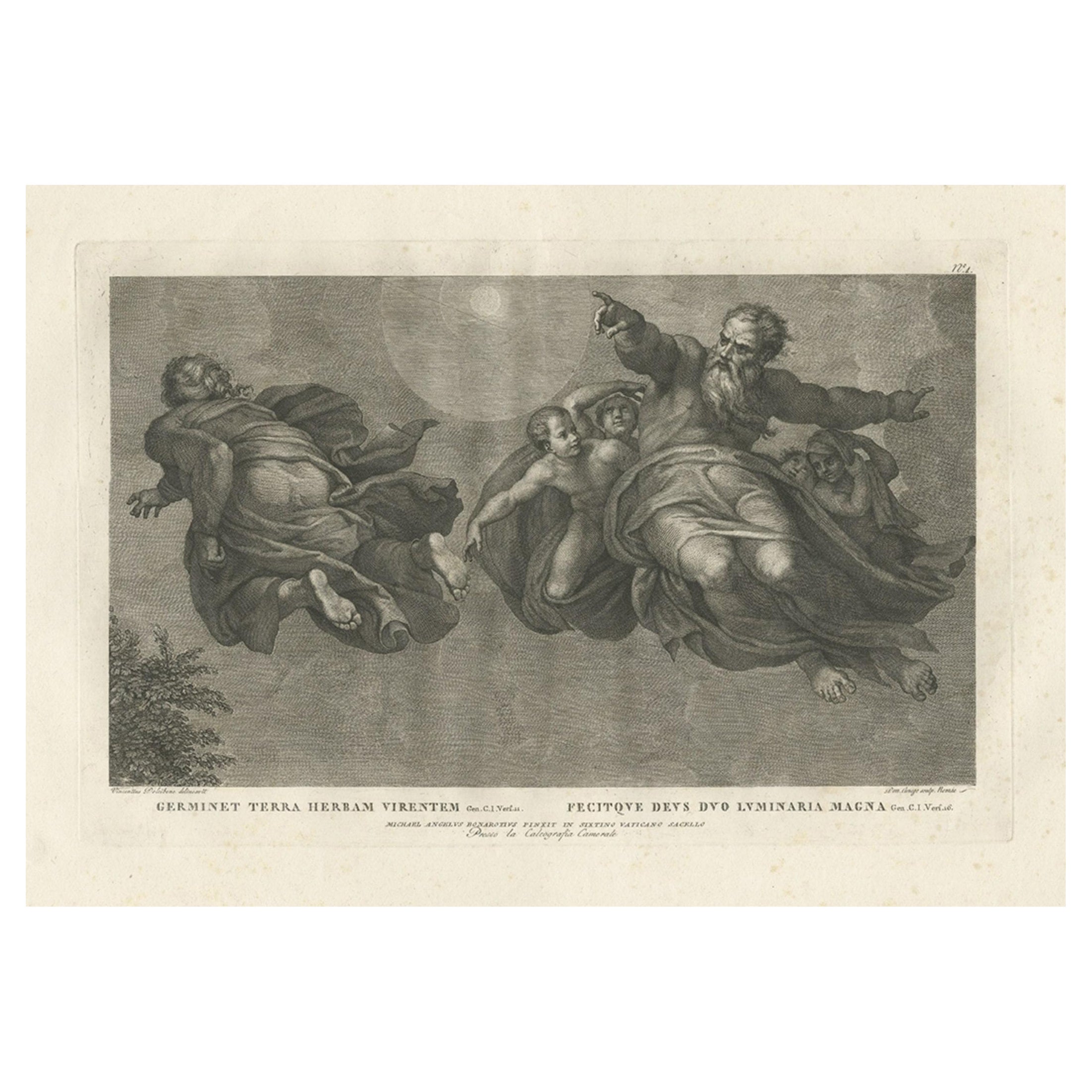
Antique print religion titled 'Germinet Terra Herbam Virentem (..)'.
This print depicts the Vegetation and Sun and Moon. Originates from 'Frescoes in the Sistine Chapel...
Category
Antique 1780s Prints
Materials
Paper
Old Map of the Kingdom of Tonga, Also Known as the Friendly Islands, ca.1780
Located in Langweer, NL
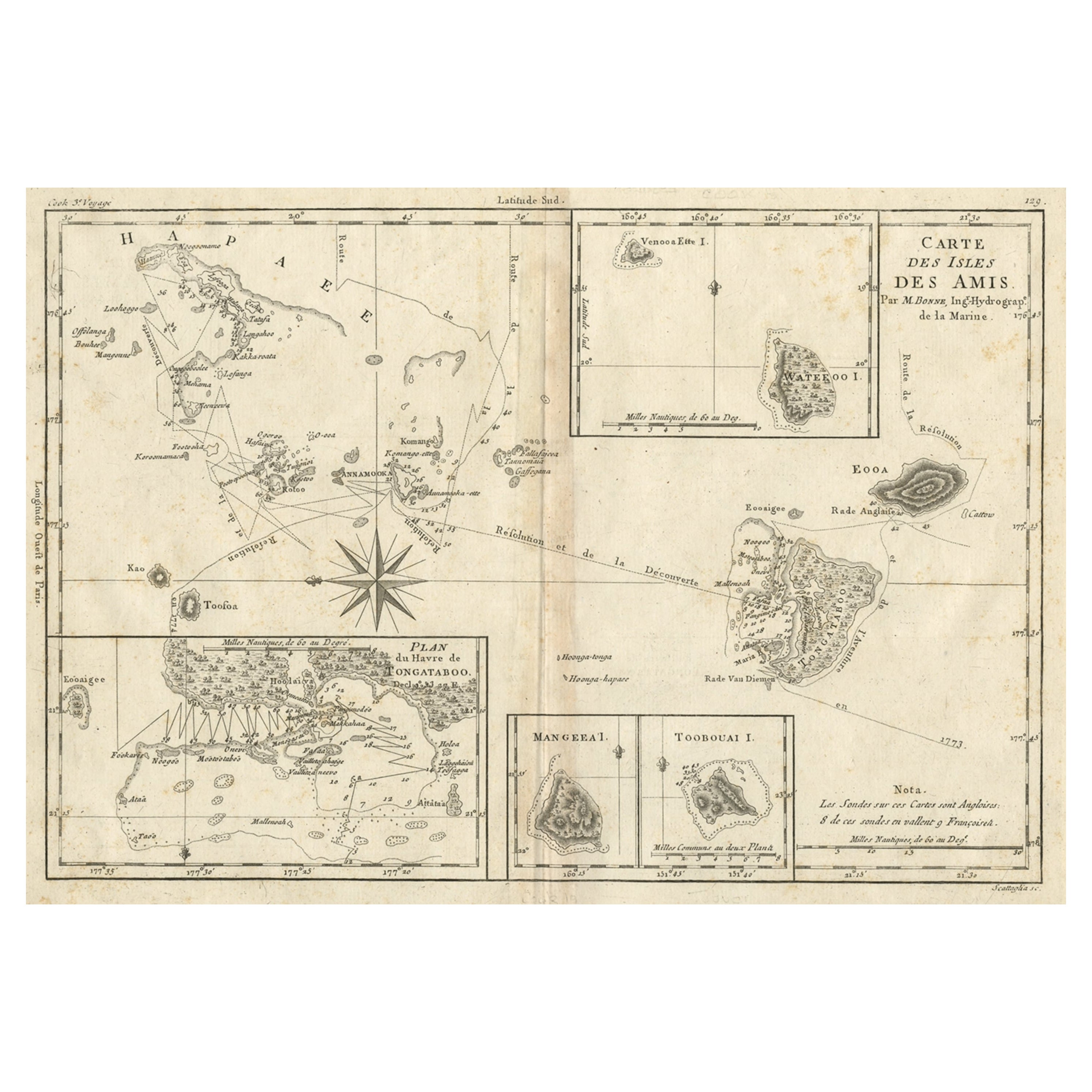
Antique print, titled: 'Carte des Isles des Amis.'
Map of the Kingdom of Tonga, also known as the Friendly Islands, and one of the last hereditary monarchies. Cook named this gro...
Category
Antique 1780s Maps
Materials
Paper
Old Print from the Old Testament the Vision of the Three Angels, ca.1840
Located in Langweer, NL
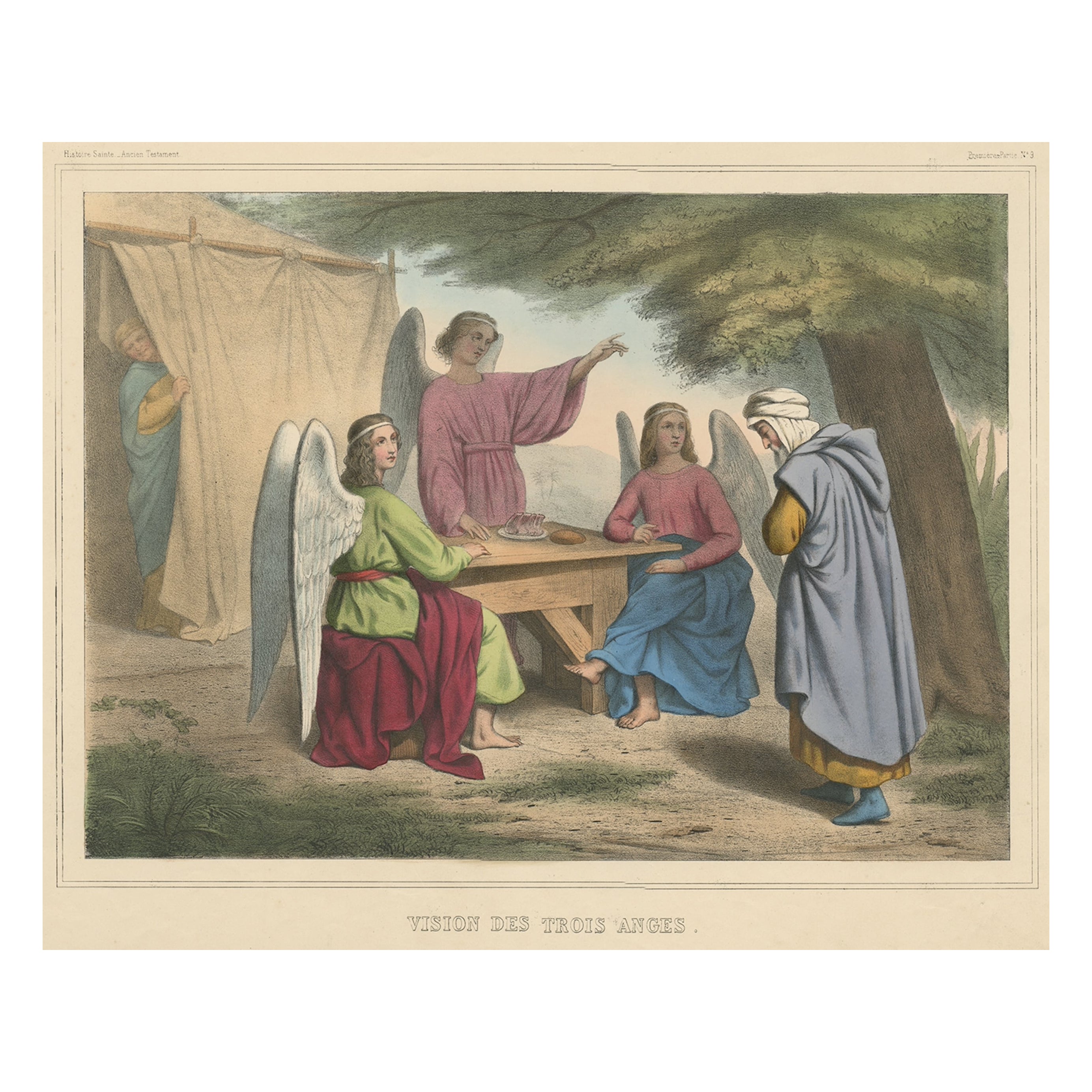
Antique print, titled: 'Histoire Sainte. - Ancien Testament. Vision des trois Anges' - This plate shows a scene from the Old Testament; The vision of the three Angels.
From a Rare set of 60 plates showing scenes from the Old Testament of the Catholic Bible...
Category
Antique 1840s Religious Items
Materials
Paper
Old Scene from Genesis in the Old Testament; Eve is made from Adam's Rib, 1731
Located in Langweer, NL
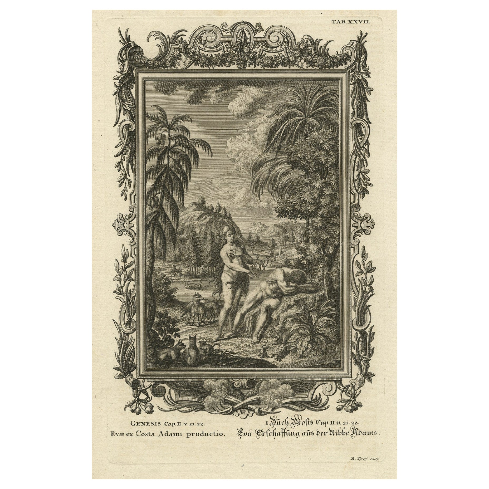
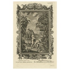
Antique print titled 'Evae ex Costa Adami productio (..).
This original antique print shows a scene from Genesis in the Old Testament; Eve is made from Adam's rib. Originates from 'Physica Sacra' by Johann Jakob Scheuchzer. Scheuchzer believed that the Old Testament was a factual account of the history, of the world...
Category
Antique 1730s Religious Items
Materials
Paper
$316 Sale Price
20% Off
Map of the Western Coast of South America from Ecuador into Chili, ca.1780
Located in Langweer, NL
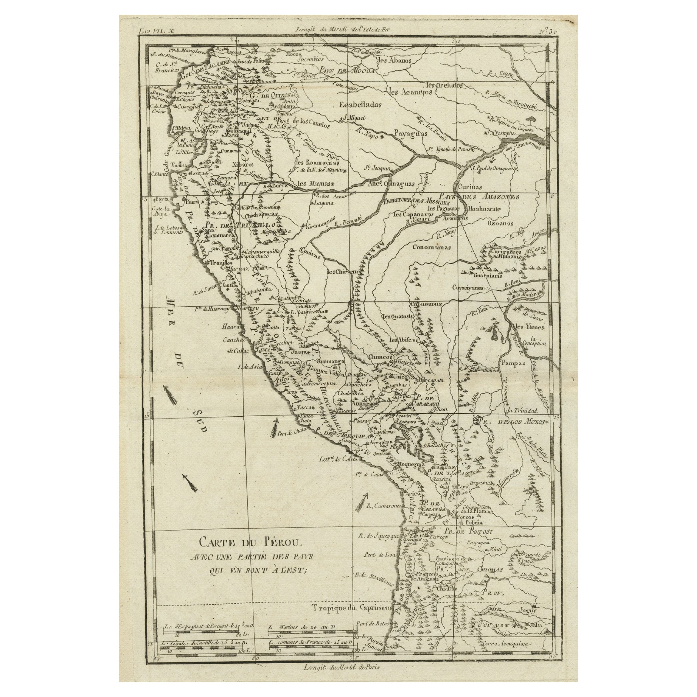
Antique map titled 'Carte du Perou avec une partie des pays qui en sont a l'est.'
Map of the western coast of South America extending from Ecuador, through Peru and present-day B...
Category
Antique 1780s Maps
Materials
Paper
Religious Old Print of Moses Making Water & The Crossing of the Red Sea, ca.1850
Located in Langweer, NL
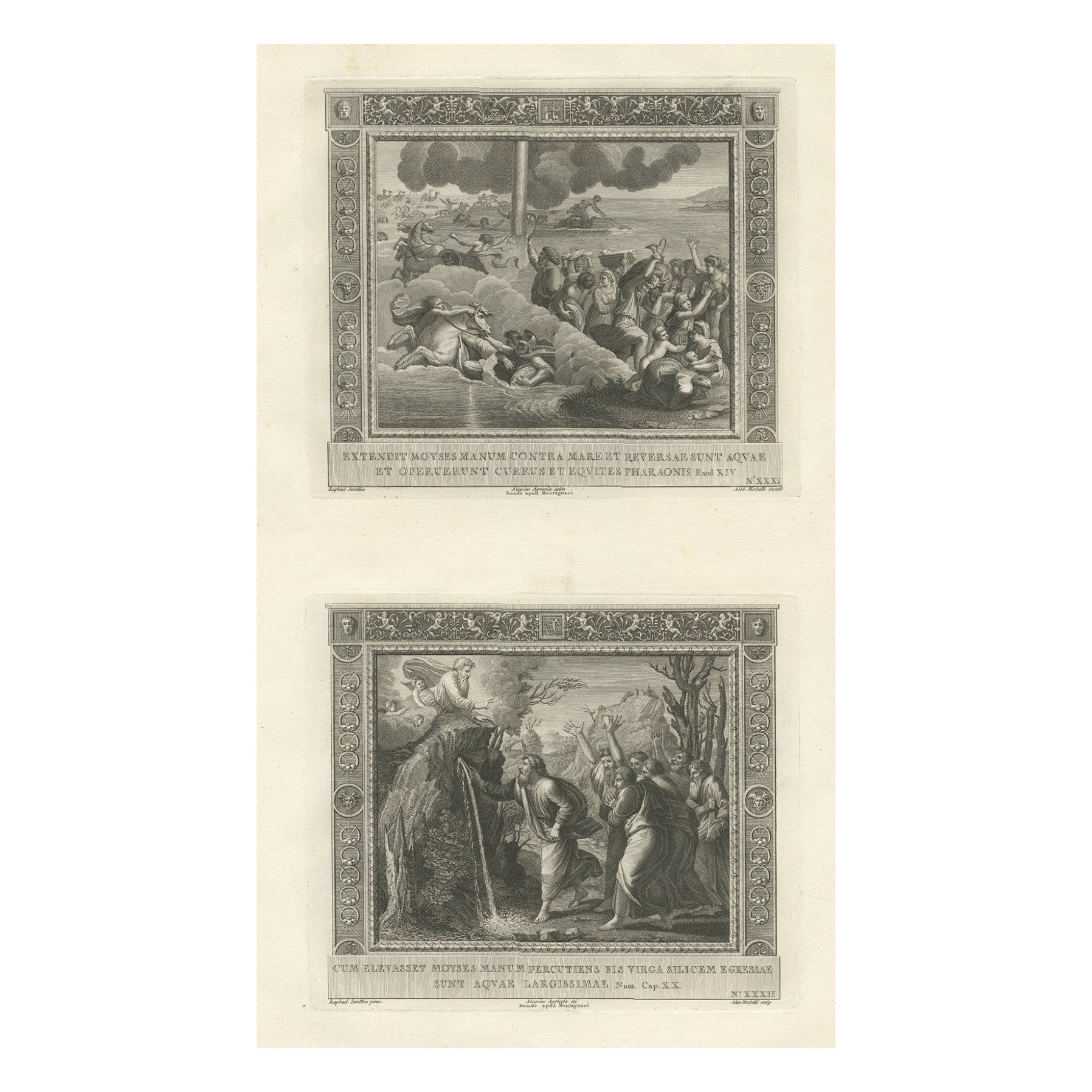
Large antique print with two religious engravings. The upper image depicts the crossing of the Red Sea. The lower image depicts Moses makes the water spring out from the rock. This print originates from a work illustrating the complete series of Vatican frescos painted...
Category
Antique 1850s Maps
Materials
Paper
$502 Sale Price
20% Off
You May Also Like
The Holy Land at the Time of Jesus: A 17th Century Dutch Map by Visscher
By Nicolaes Visscher II
Located in Alamo, CA
This detailed Dutch map entitled "Het Beloofe de Landt Canaan door wandelt van onsen Salichmaecker Iesu Christo, nessens syne Apostelen" by Nicolaes Visscher was published in Amsterd...
Category
Antique Mid-17th Century Dutch Maps
Materials
Paper
Lithographic print on paper, depicting the atlas of the hand, France 1850 ca.
Located in Milan, IT
An anatomical lithographic print on paper, depicting the anatomical atlas of the hand. Black lacquered fir wood frame with golden ramin wood batting. N. H. Ja...
Category
Antique Mid-19th Century French Prints
Materials
Glass, Wood, Paper
Original Antique Map of South America. C.1780
Located in St Annes, Lancashire
Great map of South America
Copper-plate engraving
Published C.1780
Two small worm holes to left side of map
Unframed.
Category
Antique Early 1800s English Georgian Maps
Materials
Paper
Vintage "View of the Center of Paris Taken from the Air" Lithograph Map
Located in San Diego, CA
A very stylish "View of the Center of Paris Taken from the Air" lithograph map published by the Paris Ministry of Tourism, circa early 1950s. The piece measures 27" x 43" and shows...
Category
20th Century French Mid-Century Modern Prints
Materials
Paper
$680 Sale Price
20% Off
Map of the Holy Land "Carte de la Syrie et de l'Egypte" by Pierre M. Lapie
By Pierre M. Lapie
Located in Alamo, CA
An early 19th century map of ancient Syria and Egypt entitled "Carte de la Syrie et de l'Egypte anciennes/dressée par M. Lapie, Colonel d'Etat Major, et...
Category
Antique Early 19th Century French Maps
Materials
Paper
New Map of North America from the Latest Discoveries, 1763
Located in Philadelphia, PA
A fine antique 18th century map of the North American seaboard.
Entitled "A New Map of North America from the Latest Discoveries 1763".
By the Cartographer/Engraver - John Spil...
Category
Antique Mid-18th Century English Georgian Maps
Materials
Paper
