Items Similar to Natives Of Caria, A Province Of Anatolia In Turkey In Asia, 1801


Want more images or videos?
Request additional images or videos from the seller
1 of 7
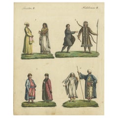
Natives Of Caria, A Province Of Anatolia In Turkey In Asia, 1801
About the Item
The engraving titled "Natives Of Caria, A Province Of Anatolia In Turkey In Asia" depicts two individuals from Caria, a historical region in what is now modern Turkey. The attire and posture of the figures reflect the traditional dress and perhaps the societal roles or occupations within their culture at the time. The scene is set against a backdrop of tents and a landscape that suggests a rural or semi-nomadic lifestyle, providing a glimpse into the life in Caria during the period when the engraving was made.
Description: This is a circa 1801 copperplate engraving from George Alexander Cooke's "Universal Geography" .
The print is part of George Alexander Cooke's comprehensive work "A Modern and Authentic System of Universal Geography." This book was a significant compilation of geographical knowledge during the late 18th century, offering descriptions and accounts of various parts of the world, influenced by the age of exploration. It includes narratives of famed explorers like Captain James Cook and Ferdinand Magellan, detailing their discoveries and journeys that expanded the European understanding of the globe. Cooke's work served as both a chronicle and reference for the territories and cultures encountered by these voyagers.
- Dimensions:Height: 7.88 in (20 cm)Width: 10.44 in (26.5 cm)Depth: 0 in (0.02 mm)
- Materials and Techniques:Paper,Engraved
- Period:
- Date of Manufacture:circa 1801
- Condition:Good. Some soiling around the edges due to handling. This is not a reproduction but an original engraving of over 200 years old. Aged paper with typically warm, yellowish-brown hue. Study the image carefully.
- Seller Location:Langweer, NL
- Reference Number:Seller: BG-13597-211stDibs: LU3054337831732
About the Seller
5.0
Recognized Seller
These prestigious sellers are industry leaders and represent the highest echelon for item quality and design.
Platinum Seller
Premium sellers with a 4.7+ rating and 24-hour response times
Established in 2009
1stDibs seller since 2017
2,419 sales on 1stDibs
Typical response time: <1 hour
- ShippingRetrieving quote...Shipping from: Langweer, Netherlands
- Return Policy
Authenticity Guarantee
In the unlikely event there’s an issue with an item’s authenticity, contact us within 1 year for a full refund. DetailsMoney-Back Guarantee
If your item is not as described, is damaged in transit, or does not arrive, contact us within 7 days for a full refund. Details24-Hour Cancellation
You have a 24-hour grace period in which to reconsider your purchase, with no questions asked.Vetted Professional Sellers
Our world-class sellers must adhere to strict standards for service and quality, maintaining the integrity of our listings.Price-Match Guarantee
If you find that a seller listed the same item for a lower price elsewhere, we’ll match it.Trusted Global Delivery
Our best-in-class carrier network provides specialized shipping options worldwide, including custom delivery.More From This Seller
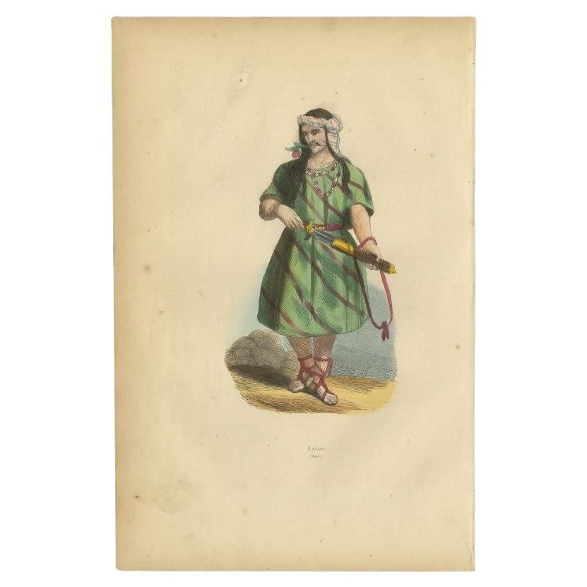
View AllAntique Print of a Carian, an ancient inhabitant of Caria in Southwest Anatolia
Located in Langweer, NL
Antique costume print titled 'Karian (Asie)'. Original antique print of a Carian. This print originates from 'Moeurs, usages et costumes de tous les peuples du monde' by Auguste Wahl...
Category
Antique 19th Century Prints
Materials
Paper

Antique Map of Asia by with an Inset Map of Turkey in Asia, 1868
Located in Langweer, NL
Antique map Asia titled 'Carte Politique et Ethnographique d'Asie'. Old map of Asia with an inset map of Turkey in Asia. Includes descriptive text box...
Category
Antique 19th Century Maps
Materials
Paper

$148 Sale Price
20% Off
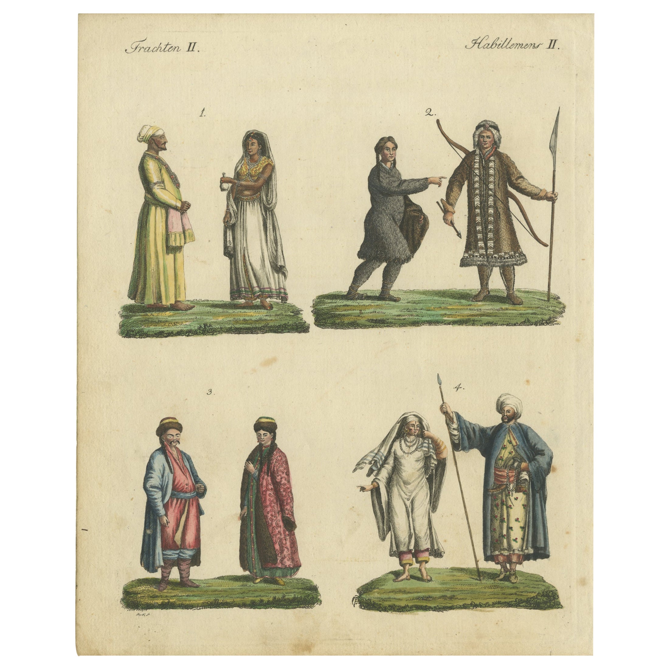
Hand-Colored Print of Asians from East India, Siberia, Kalmyk and Arabia, 1801
Located in Langweer, NL
Original antique print of people from Asia including East India, Siberia, Kalmyk and Arabia. This print originates from 'Bilderbuch für Kinder'. Published 1801.
Artists and Engra...
Category
Antique Early 1800s Prints
Materials
Paper
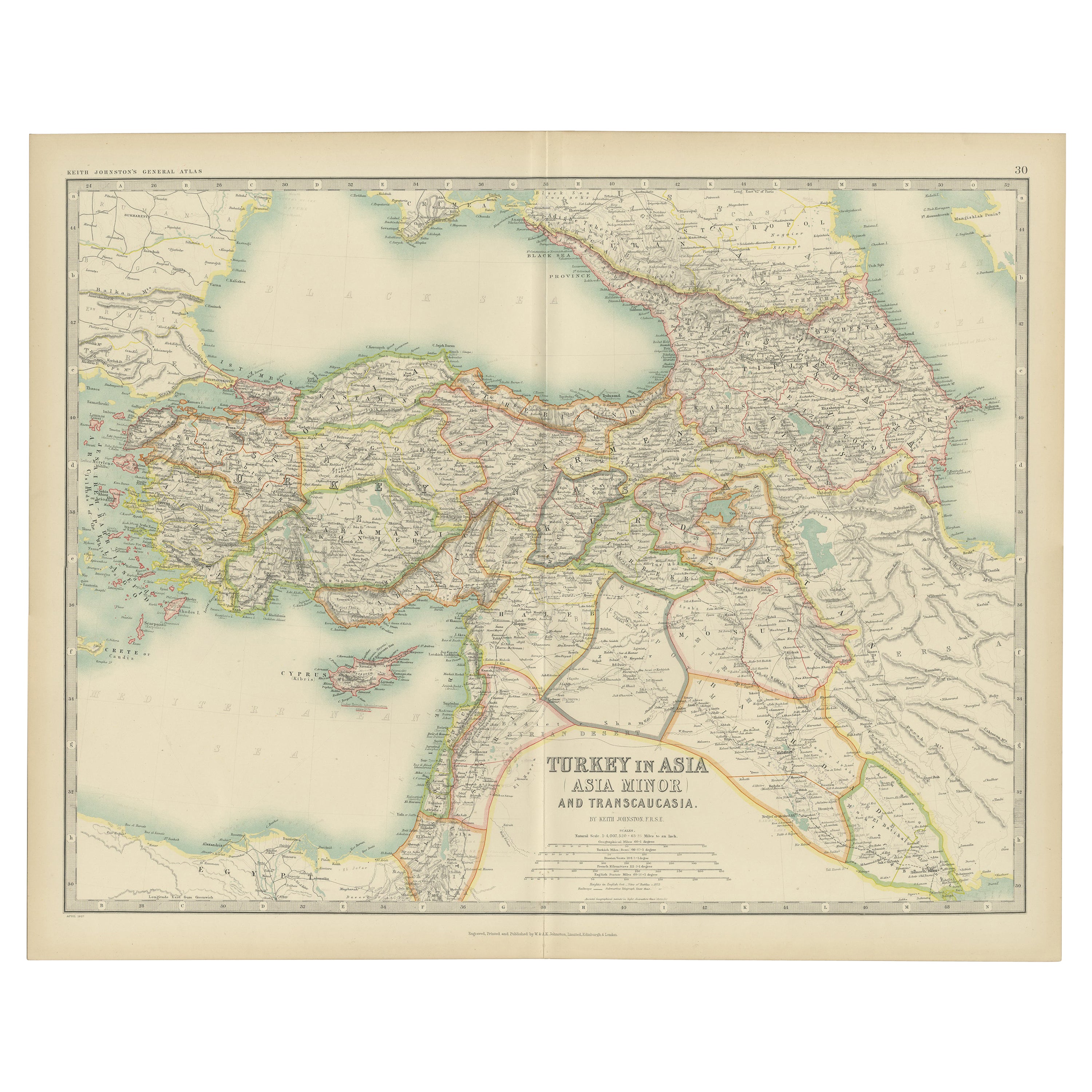
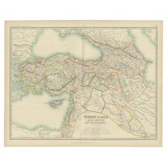
Antique Map of Turkey in Asia by Johnston '1909'
Located in Langweer, NL
Antique map titled 'Turkey Asia ( Asia Minor )'. Original antique map of Turkey in Asia. This map originates from the ‘Royal Atlas of Modern Geog...
Category
Early 20th Century Maps
Materials
Paper
$232 Sale Price
20% Off
Antique Map of Turkey in Asia by A & C. Black, 1870
Located in Langweer, NL
Antique map titled 'Turkey in Asia'. Original antique map of Turkey in Asia with inset Ruins of Babylon. This map originates from ‘Black's General Atlas of The World’. Published by A...
Category
Antique Late 19th Century Maps
Materials
Paper

$162 Sale Price
20% Off
Antique Map of Turkey in Asia by Wyld '1845'
Located in Langweer, NL
Antique map titled 'Map of Turkey in Asia'. Original antique map of Turkey in Asia. This map originates from 'An Atlas of the World, Comprehendin...
Category
Antique Mid-19th Century Maps
Materials
Paper

$185 Sale Price
20% Off
You May Also Like
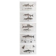
Set of 5 Original Antique Fishing / Angling Prints, Dated 1801
Located in St Annes, Lancashire
Great set of 5 fishing prints
Copper-plate engravings
Published by Bunney & Gold, London
Unframed
The measurement give below is for one print.
Free shipping.
Category
Antique Early 1800s English Folk Art Prints
Materials
Paper
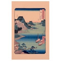
Ando Hiroshige, Japanese woodblock print on paper. Province of Hyuga.
Located in Copenhagen, DK
Ando Hiroshige (1797- 1858), one of the most famous Japanese painters, graphic artists and creators of ukiyo-e.
Japanese woodblock print on Japanese paper.
Province of Hyuga. Landsc...
Category
Early 20th Century Japanese Prints
Materials
Paper
$256 Sale Price
20% Off
Antique 18th Century Map of the Province of Pensilvania 'Pennsylvania State'
Located in Philadelphia, PA
A fine antique of the colony of Pennsylvania.
Noted at the top of the sheet as a 'Map of the province of Pensilvania'.
This undated and anonymous map is thought to be from the Gentleman's Magazine, London, circa 1775, although the general appearance could date it to the 1760's.
The southern boundary reflects the Mason-Dixon survey (1768), the western boundary is placed just west of Pittsburgh, and the northern boundary is not marked.
The map has a number of reference points that likely refer to companion text and appear to be connected to boundaries. The western and southern boundaries are marked Q, R, S, for example. A diagonal line runs from the Susquehanna R to the Lake Erie P. A broken line marked by many letters A, B, N, O, etc., appears in the east.
There are no latitude or longitude markings, blank verso.
Framed in a shaped contemporary gilt wooden frame and matted under a cream colored matte.
Bearing an old Graham Arader Gallery...
Category
Antique 18th Century British American Colonial Maps
Materials
Paper

Hand-Colored 18th Century Homann Map of the Black Sea, Turkey and Asia Minor
By Johann Baptist Homann
Located in Alamo, CA
An attractive original early 18th century hand-colored map of the Black Sea and Turkey entitled "Carte de L'Asie Minevre ou de la Natolie et du Pont Evxin Tiree des Voyages et des Ob...
Category
Antique Early 18th Century German Maps
Materials
Paper

Ando Hiroshige, Japanese woodblock print on paper. Tsushima Province
Located in Copenhagen, DK
Ando Hiroshige (1797- 1858), one of the most famous Japanese painters, graphic artists and creators of ukiyo-e.
Japanese woodblock print on Japanese paper.
Tsushima Kaigan Yubare.
T...
Category
Antique 19th Century Japanese Prints
Materials
Paper
$288 Sale Price
20% Off
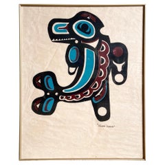
Vintage Native Canadian "Killer Whale" Screenprint
Located in Delray Beach, FL
Dive into the essence of Native Canadian culture with this Vintage Native Canadian "Killer Whale" Art Screenprint. This 20th-century masterpiece, rendered in...
Category
Vintage 1980s Canadian Prints
Materials
Canvas