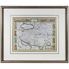
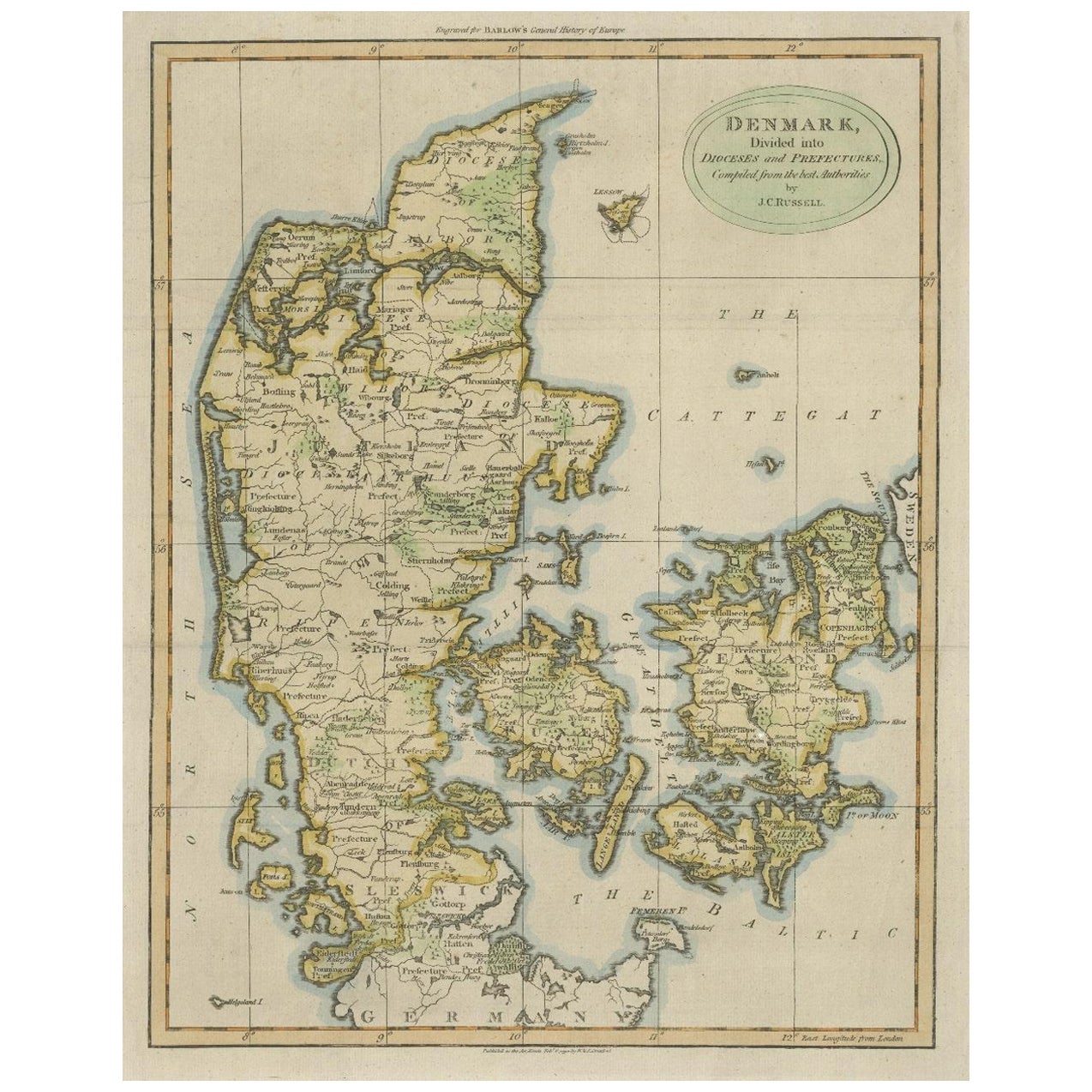
Framed Hand Colored Map of Persia by John Speed
View Similar Items


Want more images or videos?
Request additional images or videos from the seller
1 of 10
Framed Hand Colored Map of Persia by John Speed
About the Item
- Dimensions:Height: 27.5 in (69.85 cm)Width: 32.5 in (82.55 cm)Depth: 1.5 in (3.81 cm)
- Materials and Techniques:Other
- Place of Origin:
- Period:Late 17th Century
- Date of Manufacture:1700
- Condition:
- Seller Location:Essex, MA
- Reference Number:1stDibs: LU838110047801
About the Seller
4.9
Gold Seller
Premium sellers maintaining a 4.3+ rating and 24-hour response times
Established in 2007
1stDibs seller since 2007
908 sales on 1stDibs
Typical response time: 4 hours
Associations
The Art and Antique Dealers League of America
Authenticity Guarantee
In the unlikely event there’s an issue with an item’s authenticity, contact us within 1 year for a full refund. DetailsMoney-Back Guarantee
If your item is not as described, is damaged in transit, or does not arrive, contact us within 7 days for a full refund. Details24-Hour Cancellation
You have a 24-hour grace period in which to reconsider your purchase, with no questions asked.Vetted Professional Sellers
Our world-class sellers must adhere to strict standards for service and quality, maintaining the integrity of our listings.Price-Match Guarantee
If you find that a seller listed the same item for a lower price elsewhere, we’ll match it.Trusted Global Delivery
Our best-in-class carrier network provides specialized shipping options worldwide, including custom delivery.More From This Seller
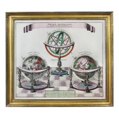
View AllFramed Engraving By Matthaus Seutter Of Sphaerae Artificiales
Located in Essex, MA
Cartographer from Germany 1678-1757. Hand colored. Gilt wood frame. Estate of William Hodgins.
Category
Antique Early 1700s German Prints
Materials
Paper
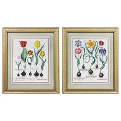
Pair of Framed Hand Colored Engravings of Tulips by Basilius Besler
By Basilius Besler
Located in Essex, MA
Each with crisp vivid colors of the most desirable tulip series.
Category
Antique Mid-17th Century European Prints
Materials
Paper
Pair of Road Maps of England by John Ogilby
Located in Essex, MA
The first road maps of England. London to Holyhead and London to Carlisle. Nicely framed and matted. These are plates removed from a book. These are fir...
Category
Antique 1690s English Prints
Materials
Paper
$1,850 / set
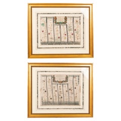
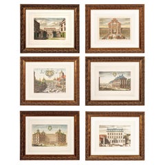
Set of Six Framed Hand Colored Engravings of Swedish Royal Residences
Located in Essex, MA
By Johannes Van den Aveelen and engraved by Holmice. Six views of Swedish royal residences. Hand colored engravings.
Framed and matted.
Category
Antique Early 1700s Dutch Baroque Prints
Materials
Paper
Pair Of Hand Colored Engravings Of Parrots
Located in Essex, MA
Two framed hand colored stipple engravings of parrots by Jacques Barraband published 1801-05. In beautifully matted and gilded frames. From Judy Cormier. One print with some foxing.
Category
Antique Early 1800s French Prints
Materials
Glass, Giltwood, Paper
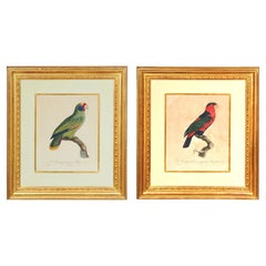
$3,850 / set
Pair Of Hand Colored Engravings Of Moths
Located in Essex, MA
Nicely framed with marbled double matting and gilded and painted frames.
Category
Antique 1780s English Prints
Materials
Wood, Paper
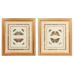
$950 / set
You May Also Like
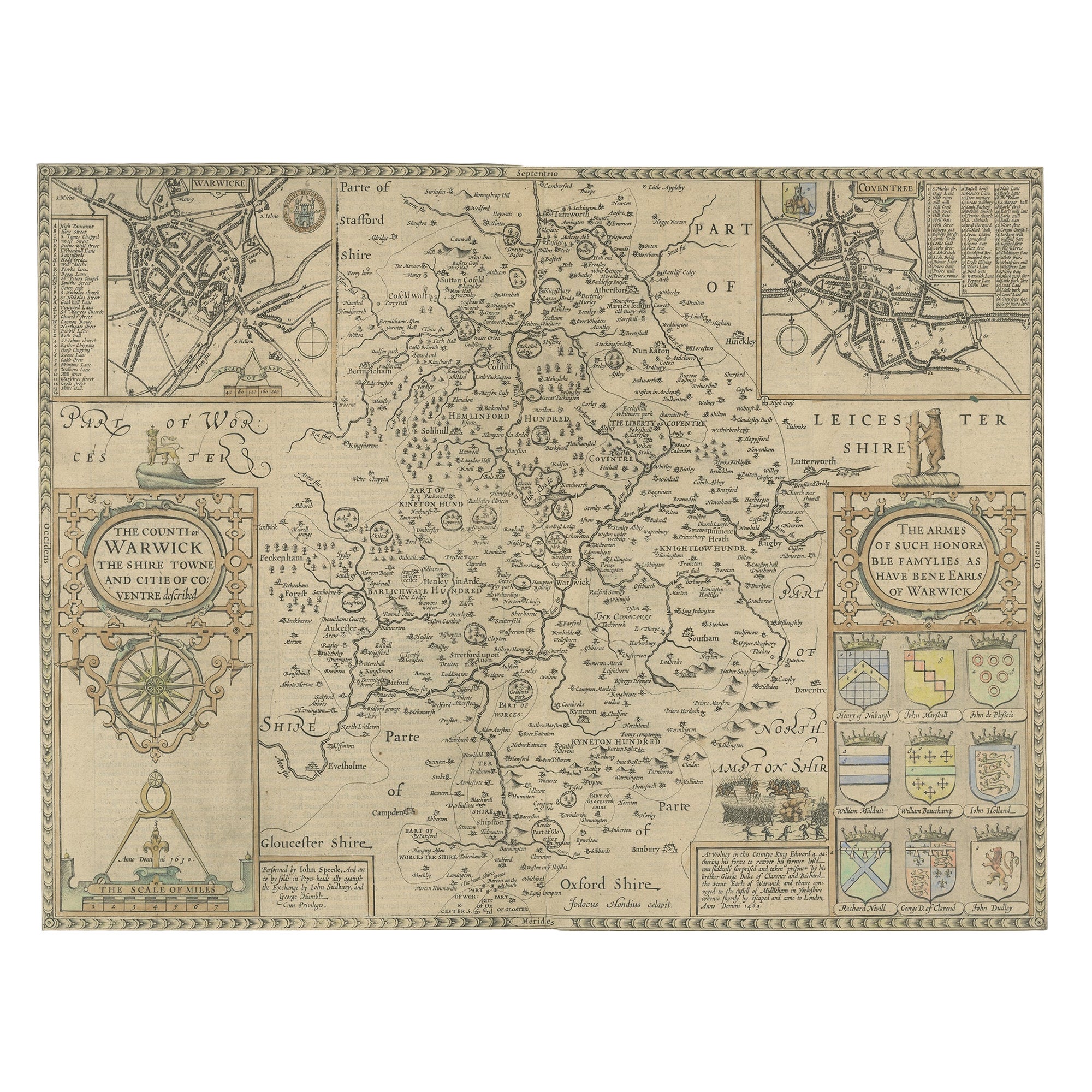
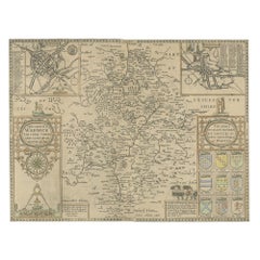
Antique Map of Warwickshire by Speed, c.1614
Located in Langweer, NL
Antique map titled 'The Counti of Warwick (..)'. Map of Warwickshire, England. Includes inset town plans of Warwick and Coventry. This map originates from 'Theatre of Great Britaine'...
Category
Antique 17th Century Maps
Materials
Paper
Antique Map of Persia by A. Zatta, circa 1785
Located in Langweer, NL
Antique map titled 'L'Impero della Persia diviso ne suoi Stati'. The Empire of Persia divided into its states. Originates from 'Atlante Novissimo, illustrato ed accresciuto sulle oss...
Category
Antique Late 18th Century Maps
Materials
Paper

$323 Sale Price
20% Off
Antique Map of Eastern Persia, 1852
Located in Langweer, NL
Antique map titled 'Eastern Persia'. Original map of Eastern Persia. This map originates from 'Lowry's Table Atlas constructed and engraved from the most recent Authorities' by J.W. ...
Category
Antique Mid-19th Century Maps
Materials
Paper

$92 Sale Price
20% Off
South America: Hand-colored 18th Century Framed Map by Thomas Jefferys
By Thomas Jefferys
Located in Alamo, CA
This detailed hand-colored map of South America by Thomas Jefferys was published in London in 1750. The map shows countries, early colonial possessions, towns, rivers, mountains, and...
Category
Antique Mid-18th Century English Maps
Materials
Paper

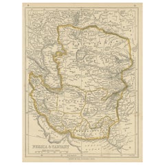
Antique Map of Persia and Tartary by Lowry, '1852'
Located in Langweer, NL
Antique map titled 'Persia and Tartary'. Original map of Persia and Tartary. This map originates from 'Lowry's Table Atlas constructed and engraved from the most recent Authorities' ...
Category
Antique Mid-19th Century Maps
Materials
Paper
Antique Map of Persia and Afghanistan by Johnston '1909'
Located in Langweer, NL
Antique map titled 'Persia and Afghanistan'. Original antique map of Persia and Afghanistan. This map originates from the ‘Royal Atlas o...
Category
Early 20th Century Maps
Materials
Paper

Recently Viewed
View AllMore Ways To Browse
Antique Furniture New Zealand
20th Century Botanical Prints
18th Century French Lithograph
Antique Black And White Engravings
Antique Chinois
18th Century Nature Engraving
Antique Aquatint
18th Century Bible
Vintage Zoological Prints
Antique Indonesian Decor
Antique German Bible
Antique Church Decor
Antique Greenhouse
Antique Knight Armor
Antique Horse Plates
18th Century Italian Lithograph
Antique Equestrian Prints
Antique Butterfly Prints