Items Similar to Rare 1681 Map of Batavia: Detailed Dutch Colonial Era Cartography, 1681


Want more images or videos?
Request additional images or videos from the seller
1 of 9
Rare 1681 Map of Batavia: Detailed Dutch Colonial Era Cartography, 1681
About the Item
The map of Batavia (modern-day Jakarta) from 1681, attributed to Frederick de Wit holds significant historical importance for several reasons:
Historical Context
1. Colonial Era: This map dates back to the Dutch colonial era when Batavia served as the administrative and commercial hub of the Dutch East India Company (VOC). The VOC was a powerful trading entity that played a crucial role in the global spice trade and colonization in Southeast Asia.
2. Strategic Importance: Batavia was strategically located on the northwestern coast of Java, providing the Dutch with a critical base for their maritime operations. The city became the center of Dutch political and military control in the region.
Cartographic Significance
1. Detailed Urban Layout: The map meticulously details the layout of Batavia, including its fortifications, canals, streets, and significant buildings. This level of detail provides insights into the urban planning and architectural styles of the period.
2. Military Engineering: The fortifications shown on the map illustrate the advanced military engineering techniques used by the Dutch to protect their valuable colony. The walls, bastions, and moats indicate the strategic considerations taken to defend against potential invasions.
3. Maritime Activity: The depiction of ships in the harbor highlights Batavia's role as a major maritime center. The VOC's fleets were essential for trade routes connecting Europe, Africa, and Asia, making Batavia a crucial node in global commerce.
Artistic and Cultural Value
1. Artistic Elements: The decorative elements, such as the lion holding a shield and the intricate cartouches, reflect the artistic trends of Dutch Golden Age cartography. These embellishments were not only informative but also served to display the cartographer's skill and the map's prestige.
2. Cultural Exchange: Maps like this one provide evidence of cultural exchange between the Dutch and the indigenous populations of Java. The blending of Dutch and local influences can be seen in various aspects of the map and the architecture of the city.
Rarity and Preservation
1. Rarity: Maps from the 17th century, especially those in good condition, are relatively rare and highly valued by collectors and historians. Each map provides a unique snapshot of historical geography and urban development.
2. Preservation of History: This map serves as a historical document, preserving knowledge about Batavia's cityscape, infrastructure, and colonial governance. It helps historians and scholars understand the socio-economic and political dynamics of the period.
Conclusion
The map of Batavia from 1681 is special due to its detailed depiction of one of the most important colonial cities in Southeast Asia during the Dutch Golden Age. It reflects the strategic, economic, and cultural significance of Batavia, serving as a valuable resource for understanding the history of Dutch colonialism and its global impact. The map's artistry and precision make it an important artifact in the history of cartography.
---------------
The map is an original and historical map of Batavia (present-day Jakarta) on the island of Java, dated 1681. There are several details to consider when evaluating its origins and possible authorship:
1. **Style and Detail**: The intricate details and style are reminiscent of maps created by Frederick de Wit, a prominent Dutch cartographer and engraver of the 17th century. He was known for his detailed city maps and sea charts.
2. **Lack of Signature**: The absence of "F. de Wit, Excudit" could indicate either an omission or a different engraver. However, it is essential to note that some maps from that period were reproduced or copied by other engravers and cartographers. This was not uncommon, as map-making was a collaborative effort, and copies of popular maps were frequently made.
3. **Map Characteristics**:
- The depiction of ships and the detailed fortifications are typical of Dutch cartography in the late 17th century.
- The decorative elements, such as the lion holding a shield, are also characteristic of Dutch map engravers.
4. **Other Possible Engravers**: While Frederick de Wit is a strong candidate, other notable Dutch engravers from that period include Joan Blaeu and Willem Janszoon Blaeu. They also produced highly detailed maps and could potentially be the creators or inspirers of this map.
To determine the precise authorship, you might consider:
- **Comparing** this map with other confirmed works of Frederick de Wit and his contemporaries to identify stylistic similarities and differences.
- **Historical Records**: Consulting historical records or publications related to Dutch cartography in the 17th century might provide more context or even direct references to this particular map.
If you have access to additional details or higher-resolution images of specific sections, it might help further pinpoint the map's origin and authorship.
-------------
Frederick de Wit (1629–1706) was a prominent Dutch cartographer, engraver, and publisher known for his detailed and decorative maps, atlases, and globes. He played a significant role in the Dutch Golden Age of cartography, contributing to the wealth of geographic knowledge and artistic achievement during this period. Here are key aspects of his life and work:
### Biography
- **Early Life**: Frederick de Wit was born in Gouda, Netherlands, in 1629. Little is known about his early years, but he moved to Amsterdam, the epicenter of Dutch cartography, in the mid-17th century.
- **Career Beginnings**: De Wit began his career as an engraver and publisher, initially producing maps that were reissues of earlier works by other cartographers, such as Joan Blaeu and Willem Janszoon Blaeu.
### Contributions to Cartography
- **Mapmaking**: De Wit was known for his meticulous attention to detail and artistic flair. He produced a wide range of maps, including world maps, regional maps, city plans, and maritime charts. His maps were praised for their accuracy, detail, and aesthetic appeal.
- **Atlases**: One of his significant contributions was the publication of atlases. In 1670, he published his first atlas, titled "Atlas," which included a collection of detailed maps covering various parts of the world. His atlases were highly regarded and widely distributed.
- **City Plans**: De Wit produced detailed city plans, including those of major European cities and colonial outposts like Batavia. These plans were valuable for their detailed representation of urban layouts and fortifications.
### Artistic Style
- **Decorative Elements**: De Wit's maps are renowned for their decorative elements, including elaborate cartouches, ornate borders, and artistic depictions of ships, sea monsters, and allegorical figures. These embellishments made his maps not only practical tools but also works of art.
- **Engraving Quality**: His maps were characterized by high-quality engraving and printing techniques, which enhanced their visual appeal and durability.
### Legacy and Influence
- **Global Reach**: Frederick de Wit's maps and atlases were distributed widely across Europe and beyond, influencing other cartographers and contributing to the diffusion of geographic knowledge.
- **Collectability**: Today, De Wit's maps and atlases are highly sought after by collectors and historians. They are prized for their historical significance, artistic beauty, and craftsmanship.
- **Preservation of Knowledge**: His works provide valuable insights into the geographical understanding of the 17th century, reflecting the political, economic, and cultural contexts of the time.
### Notable Works
- **Nova Orbis Tabula in Lucem Edita**: A world map published in the late 17th century, showcasing the latest geographical discoveries and adorned with elaborate decorations.
- **Atlas Maior**: One of his most comprehensive atlases, containing a vast collection of maps covering the known world, from Europe to Asia and the Americas.
Conclusion
Frederick de Wit was a master cartographer whose work epitomized the Dutch Golden Age of cartography. His maps and atlases were celebrated for their precision, detail, and artistic quality, leaving a lasting legacy in the history of mapmaking. His contributions helped shape the understanding of geography in the 17th century and continue to be appreciated for their historical and aesthetic value.
- Dimensions:Height: 21.07 in (53.5 cm)Width: 24.41 in (62 cm)Depth: 0.01 in (0.2 mm)
- Materials and Techniques:Paper,Engraved
- Period:1680-1689
- Date of Manufacture:1681
- Condition:Good condition with clear engraving, intact paper, and legible text. Minor foxing and stains are present but typical for its age. Folding line as issued. Please study the scans carefully.
- Seller Location:Langweer, NL
- Reference Number:Seller: BG-138131stDibs: LU3054340482932
About the Seller
5.0
Recognized Seller
These prestigious sellers are industry leaders and represent the highest echelon for item quality and design.
Platinum Seller
Premium sellers with a 4.7+ rating and 24-hour response times
Established in 2009
1stDibs seller since 2017
2,417 sales on 1stDibs
Typical response time: <1 hour
- ShippingRetrieving quote...Shipping from: Langweer, Netherlands
- Return Policy
Authenticity Guarantee
In the unlikely event there’s an issue with an item’s authenticity, contact us within 1 year for a full refund. DetailsMoney-Back Guarantee
If your item is not as described, is damaged in transit, or does not arrive, contact us within 7 days for a full refund. Details24-Hour Cancellation
You have a 24-hour grace period in which to reconsider your purchase, with no questions asked.Vetted Professional Sellers
Our world-class sellers must adhere to strict standards for service and quality, maintaining the integrity of our listings.Price-Match Guarantee
If you find that a seller listed the same item for a lower price elsewhere, we’ll match it.Trusted Global Delivery
Our best-in-class carrier network provides specialized shipping options worldwide, including custom delivery.More From This Seller
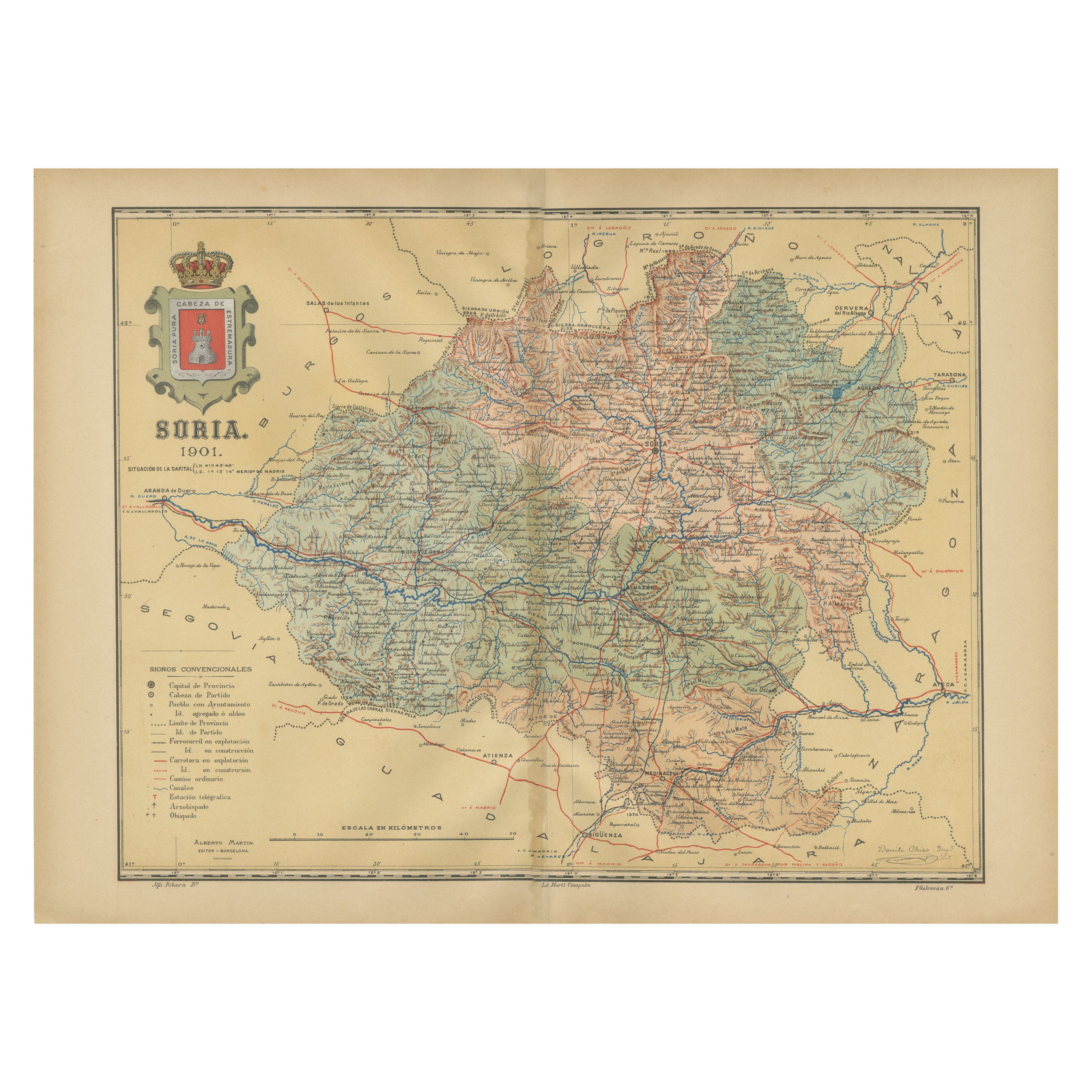
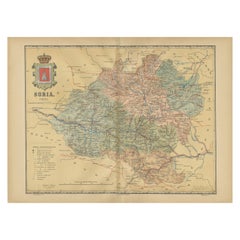
View AllMap of Soria Province, 1901: Detailed Cartography of Northeastern Spain
Located in Langweer, NL
The map is a historical map of the province of Soria from 1901.
A decorative coat of arms enhances the aesthetic of the map, signifying the historical and cultural significance of ...
Category
Antique Early 1900s Maps
Materials
Paper
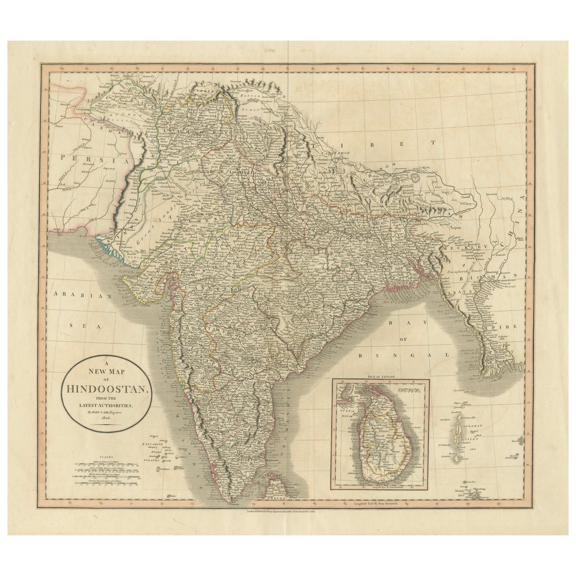
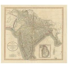
1806 John Cary Map of Hindoostan – Detailed British Cartography of India
Located in Langweer, NL
Title: 1806 John Cary Map of Hindoostan – Detailed British Cartography of India
This highly detailed map, titled "A New Map of Hindoostan from the Latest Authorities," was engraved ...
Category
Antique Early 1800s Maps
Materials
Paper
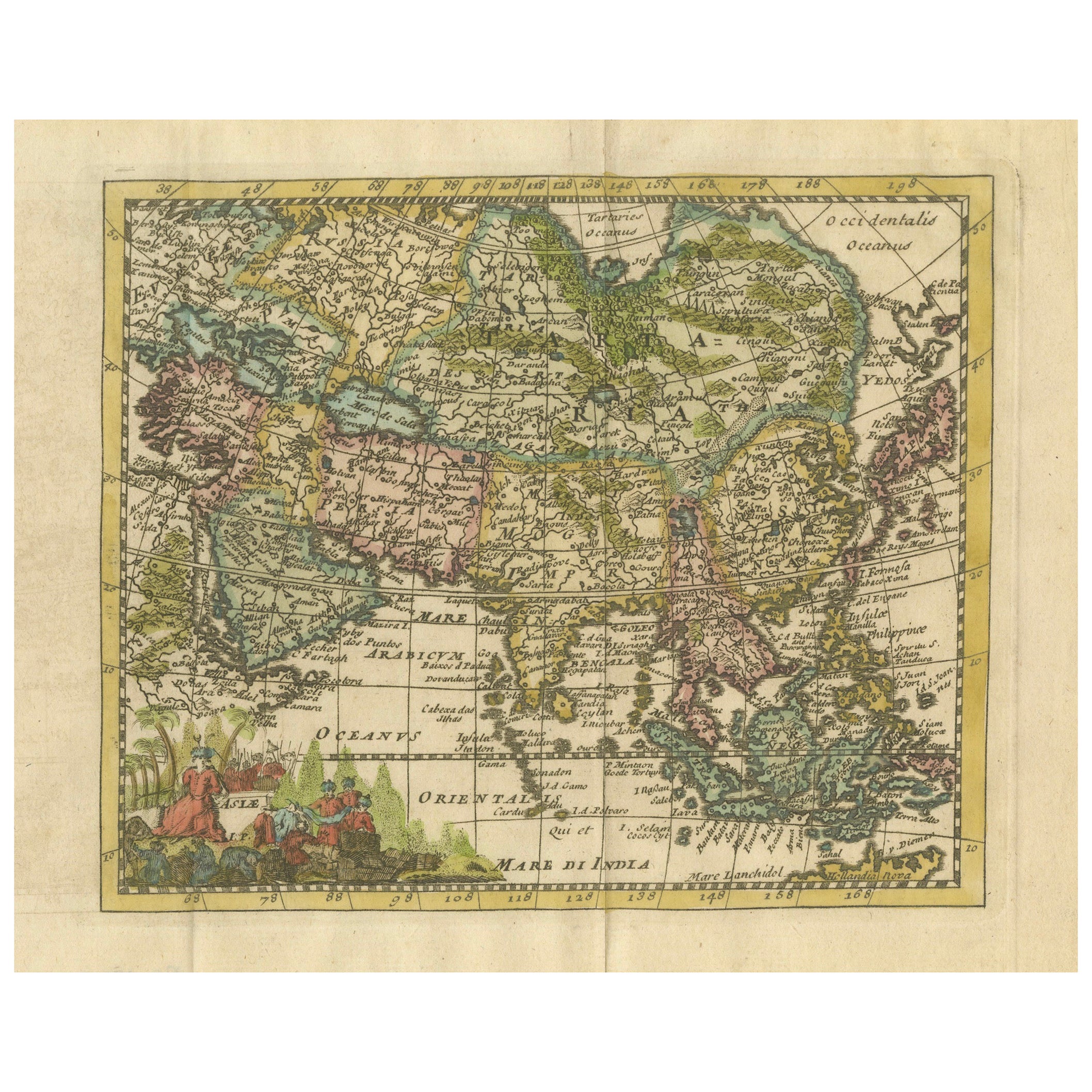
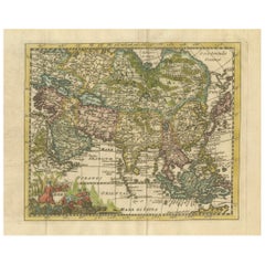
Cartographic Elegance: The Art and Science of 17th-Century Asian Maps, ca.1681
Located in Langweer, NL
This original antique map is an artifact from a pivotal era in cartography, reflecting not only the geographical knowledge of its time but also the intertwining of art and science in...
Category
Antique 1680s Maps
Materials
Paper
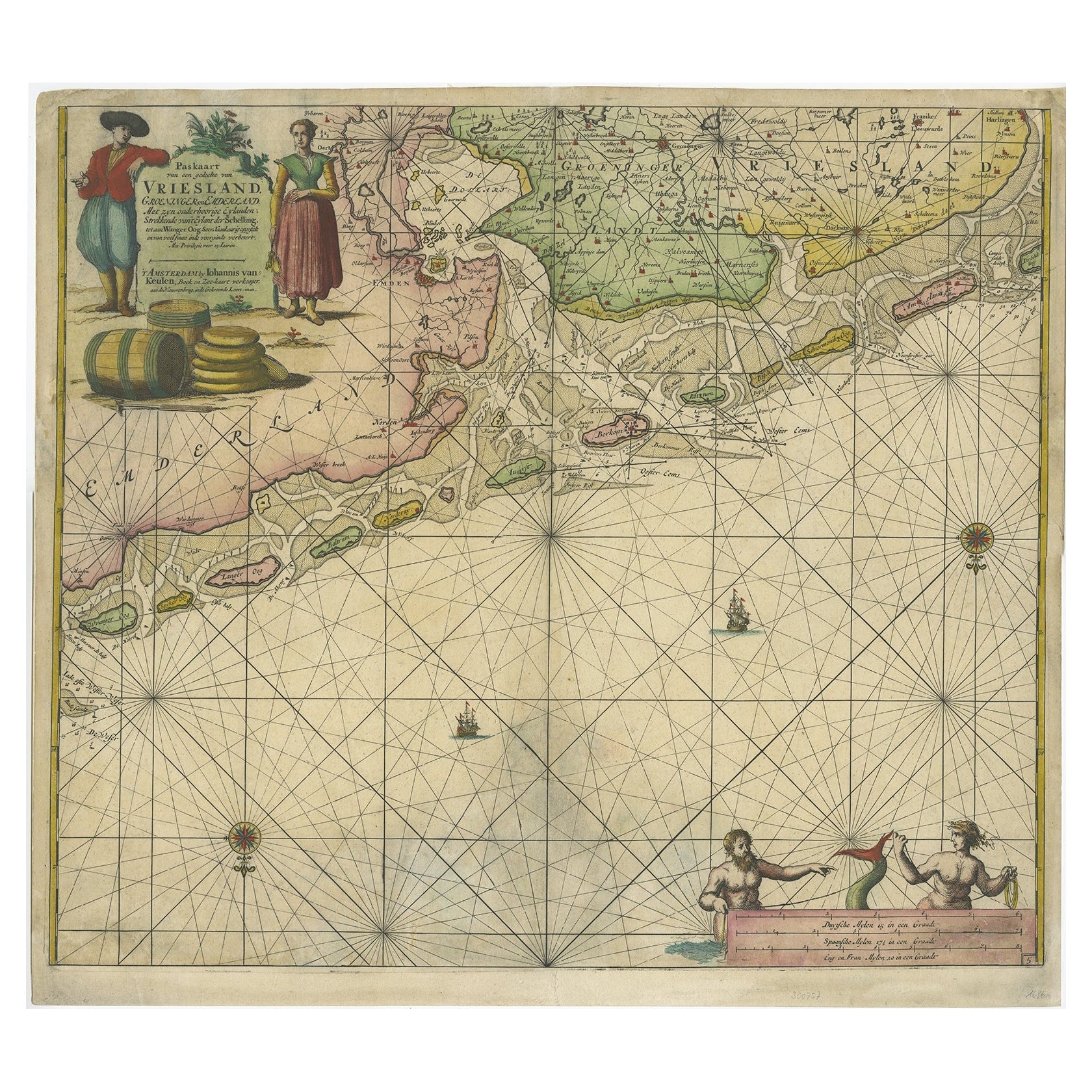
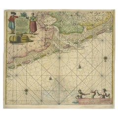
Old Decorative & Highly Detailed Sea Chart of the North Dutch-German Coast, 1681
Located in Langweer, NL
Antique map titled 'Paskaart van een gedeelte van Vriesland, Groeninger, en Emderland. Met zyn onderhoorige Eylanden; Strekkende van't Eylant der Schelling'.
Decorative and highl...
Category
Antique 1680s Maps
Materials
Paper
$1,532 Sale Price
20% Off
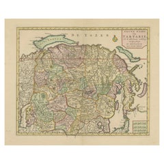
Map of Tartary by Isaak Tirion: Detailed Cartography of Northern Asia, ca.1740
Located in Langweer, NL
This is an antique map titled "Nieuwe Kaart van Tartarie," which translates to "New Map of Tartary." The map was created by Isaak Tirion, a prominent Dutch cartographer and publisher...
Category
Antique 1740s Maps
Materials
Paper
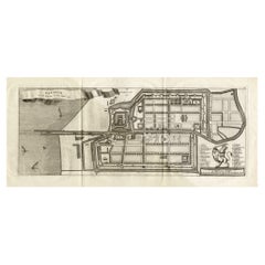
Antique Map of Batavia 'Jakarta, Indonesia', the Dutch East-Indies, 1782
Located in Langweer, NL
Antique map titled 'Batavia zo als het was in den Jaare 1731.' (Batavia as it was in the year 1731.) Map of the city of Batavia (Jakarta) in Indonesia. With legend and scale. This pr...
Category
Antique 18th Century Maps
Materials
Paper
You May Also Like
Antique County Map of Cheshire, Dutch, Framed, Cartography, Janssonius, C.1660
Located in Hele, Devon, GB
This is an antique county map of Cheshire. A Dutch, framed atlas engraving by Johannes Janssonius, dating to the 17th century and later.
A treat for the collector or county native,...
Category
Antique Mid-17th Century Dutch Charles II Maps
Materials
Glass, Wood, Paper

Antique Lithography Map, Isle of Thanet, Kent, English, Cartography, Victorian
Located in Hele, Devon, GB
This is an antique lithography map of The Isle of Thanet in Kent. An English, framed atlas engraving of cartographic interest, dating to the mid 19th century and later.
Superb litho...
Category
Antique Mid-19th Century British Victorian Maps
Materials
Wood

Very Large Vintage Map of Canada, German, Education, Institution, Cartography
Located in Hele, Devon, GB
This is a very large vintage map of Canada. A German, quality printed educational or institution map, dating to the mid 20th century, circa 1965....
Category
Mid-20th Century German Maps
Materials
Paper

Antique Environs of Bath & Bristol Map, English, Framed Cartography, Victorian
Located in Hele, Devon, GB
This is an antique region map of Bath and Bristol. An English, framed atlas engraving of cartographic interest, dating to the mid 19th century and later.
Superb lithography of Bath...
Category
Antique Mid-19th Century British Victorian Maps
Materials
Glass, Wood, Paper
Antique Lithography Map, Worcestershire, English, Framed Engraving, Cartography
Located in Hele, Devon, GB
This is an antique lithography map of Worcestershire. An English, framed atlas engraving of cartographic interest, dating to the early 19th centur...
Category
Antique Early 19th Century British Regency Maps
Materials
Wood
Antique Lithography Map, Cumberland, English, Framed, Cartography, Victorian
Located in Hele, Devon, GB
This is an antique lithography map of Cumberland. An English, framed atlas engraving of cartographic interest, dating to the mid 19th century and la...
Category
Antique Mid-19th Century British Victorian Maps
Materials
Wood

Recently Viewed
View AllMore Ways To Browse
17th Century Shield
Dutch Military
Antique Level Tool
Flair Holland
17th Century American Colonial
Blaeu Wall Map
Military Globe
Atlas Holding Globe
Iron Scroll Coffee Table
Iron Scroll Console Table
Italian Rattan Stools
Italian Tumbler
Jansen Mirror Table
Japanese Export Silver
Jens Quistgaard For Dansk Teak
Karabagh Kilim
Kartell Four
King Louis Dining Table