Items Similar to Ornate 1850s Map of South America: A Masterpiece of Exploration & Art by Rapkin


Want more images or videos?
Request additional images or videos from the seller
1 of 8
Ornate 1850s Map of South America: A Masterpiece of Exploration & Art by Rapkin
About the Item
Decorative 19th-Century Map of South America by J. Rapkin, Published by J & F Tallis
Description: This beautifully detailed map of South America, drawn and engraved by J. Rapkin and published by J & F Tallis, dates to the mid-19th century. It was included in "The History of the United States of America from the Earliest Period to the Present Time" and reflects the high standards of cartographic and artistic excellence typical of Tallis publications.
The map features intricate decorative borders, vignettes of significant landmarks, and depictions of the region's flora, fauna, and inhabitants. Illustrations by J. Marchant and engravings by J. Rogers enhance its visual appeal, showcasing scenes such as the Brazilian bridge of ropes, a view of Valparaiso, and various depictions of native wildlife and cultures. Political boundaries are carefully outlined, with important rivers, cities, and geographical features meticulously labeled.
The decorative elements and detailed geographic representation make this map not only a functional tool of its time but also a work of art that embodies the Romantic fascination with exploration and discovery. It serves as a valuable artifact for collectors of antique maps or those interested in 19th-century depictions of South America.
Year of publication: Circa 1850s.
Condition: Excellent for its age, with vibrant engraving detail and minimal wear.
Keywords: South America, Amazon River, Andes Mountains, Brazil, Argentina, Peru, Chile, Colombia, Venezuela, Rio de Janeiro, Valparaiso, Patagonia, Bolivia, Paraguay, Uruguay, Ecuador, Guyana, antique map, 19th-century map, decorative map, Tallis map, Victorian cartography, engraved map, historical geography, colonial South America, romantic-era maps, illustrated map, hand-colored map, historical landmarks, ethnographic scenes, J. Rapkin, J & F Tallis, J. Marchant, J. Rogers, Victorian engraving, British cartographers, antique maps for collectors, decorative wall art, historical prints, cartographic art, exploration and discovery maps, illustrated cartography.
- Dimensions:Height: 14.26 in (36.2 cm)Width: 10.95 in (27.8 cm)Depth: 0.01 in (0.2 mm)
- Materials and Techniques:Paper,Engraved
- Period:
- Date of Manufacture:circa 1850
- Condition:Condition: Good, considering age, with vibrant engraving detail and minimal wear. Centrefold crease as issued with small split on the right side, outside the image. Study the images carefully.
- Seller Location:Langweer, NL
- Reference Number:Seller: BG-13999-101stDibs: LU3054342850582
About the Seller
5.0
Recognized Seller
These prestigious sellers are industry leaders and represent the highest echelon for item quality and design.
Platinum Seller
Premium sellers with a 4.7+ rating and 24-hour response times
Established in 2009
1stDibs seller since 2017
2,417 sales on 1stDibs
Typical response time: <1 hour
- ShippingRetrieving quote...Shipping from: Langweer, Netherlands
- Return Policy
Authenticity Guarantee
In the unlikely event there’s an issue with an item’s authenticity, contact us within 1 year for a full refund. DetailsMoney-Back Guarantee
If your item is not as described, is damaged in transit, or does not arrive, contact us within 7 days for a full refund. Details24-Hour Cancellation
You have a 24-hour grace period in which to reconsider your purchase, with no questions asked.Vetted Professional Sellers
Our world-class sellers must adhere to strict standards for service and quality, maintaining the integrity of our listings.Price-Match Guarantee
If you find that a seller listed the same item for a lower price elsewhere, we’ll match it.Trusted Global Delivery
Our best-in-class carrier network provides specialized shipping options worldwide, including custom delivery.More From This Seller
View AllAntique Map of South America by Wyld, circa 1850
By J. Wyld
Located in Langweer, NL
Beautiful folding map of South America titled 'Colombia Prima or South America Drawn from the Large Map in Eight Sheets by Louis Stanislas D ' Arcy Delarochette'. Three insets in the...
Category
Antique Mid-19th Century British Maps
Materials
Paper

$1,346 Sale Price
20% Off
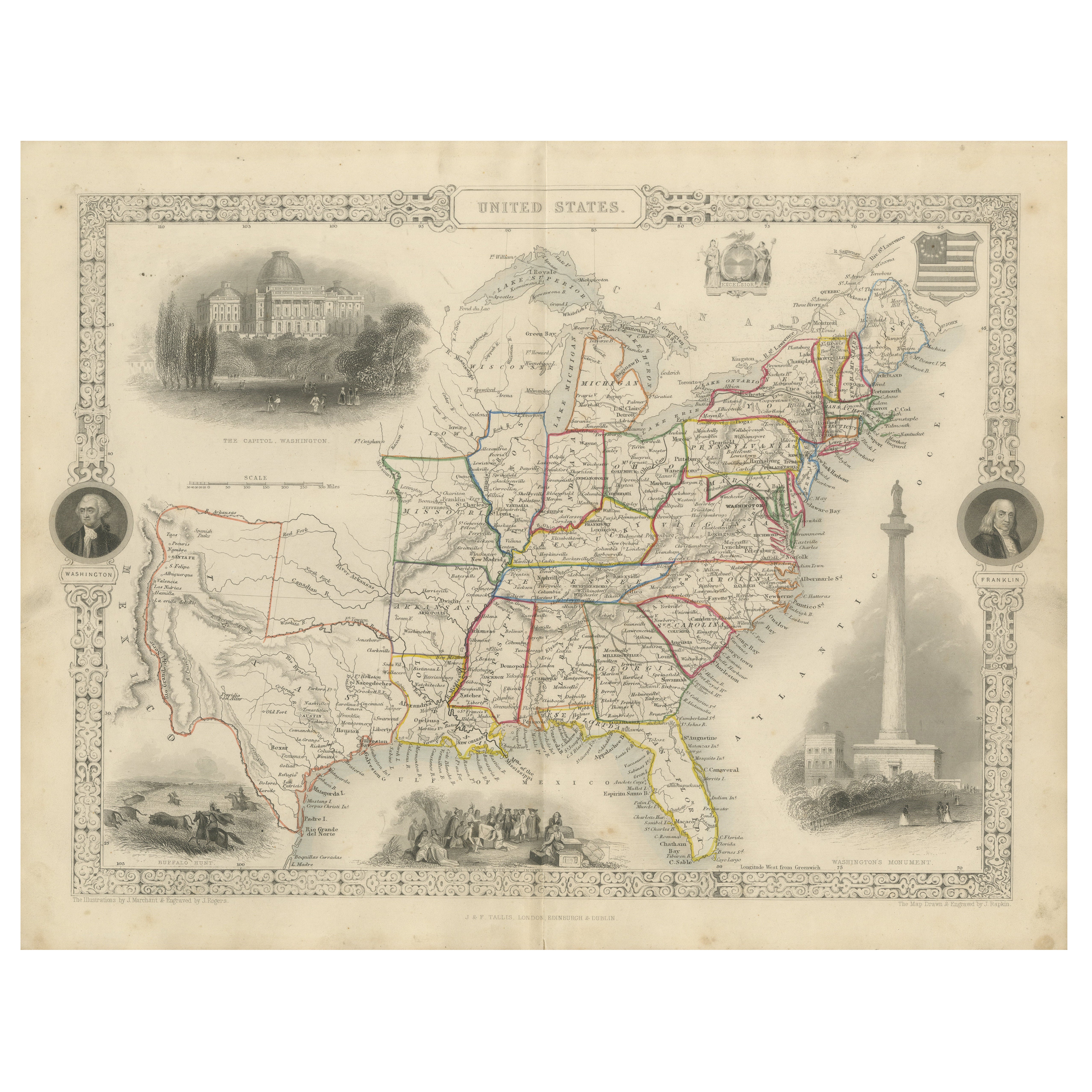
Exquisite 1850s Vintage Map of North America: A Victorian Cartographic Treasure
Located in Langweer, NL
Ornate 19th-Century Map of North America by J. Rapkin, Published by J & F Tallis
This stunning 19th-century map of North America, created by renowned cartographer J. Rapkin and ...
Category
Antique 1850s Maps
Materials
Paper

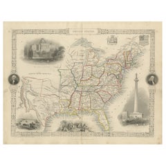
Ornate 1850s Map of the United States: Featuring Iconic Landmarks and Portrets
Located in Langweer, NL
Ornate 1850s Map of the United States: Featuring Iconic Landmarks and Historical Portraits
This decorative 19th-century map of the United States, created by J. Rapkin and publishe...
Category
Antique 1850s Maps
Materials
Paper
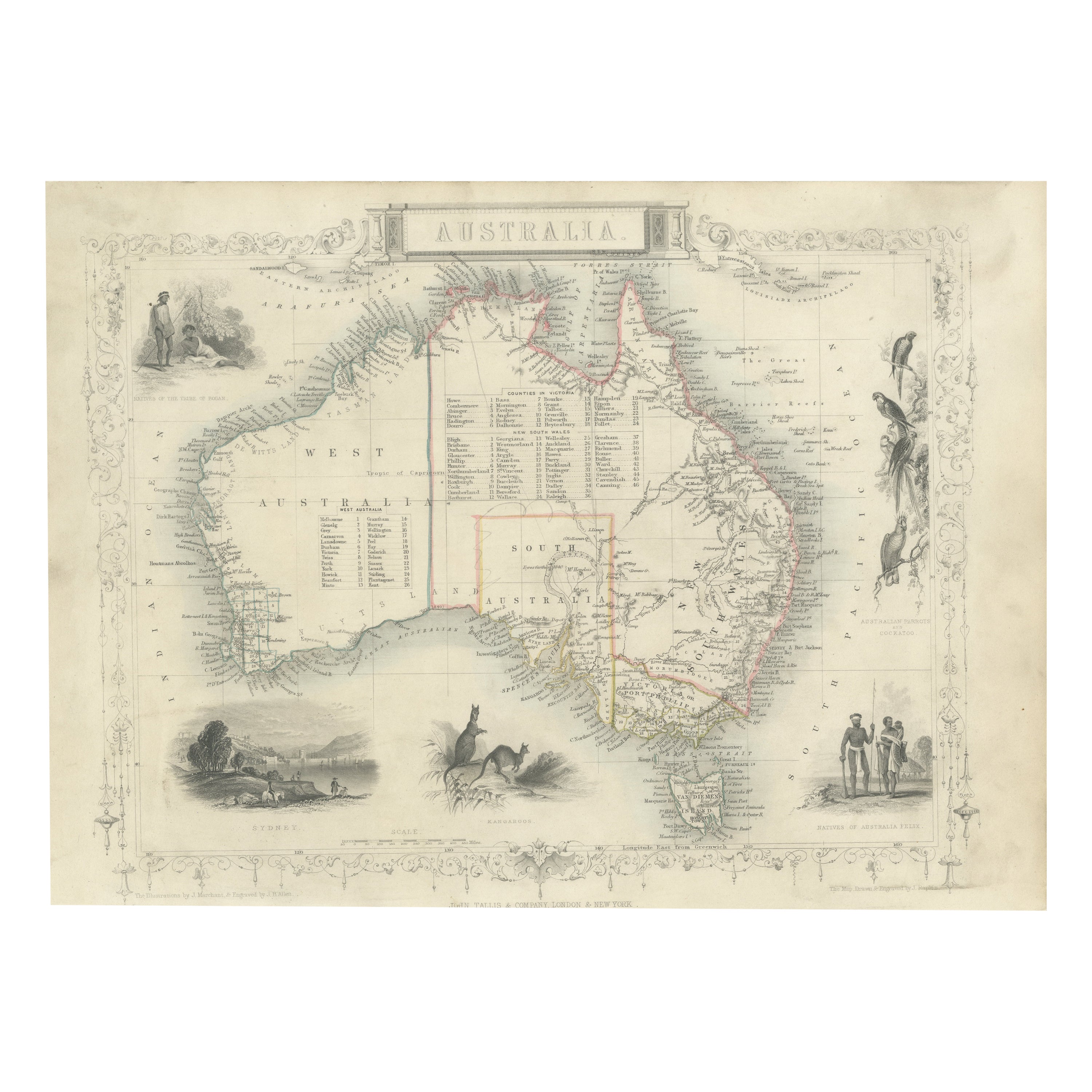
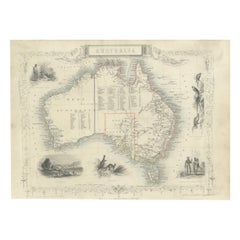
Gold Rush Era Masterpiece: The Tallis & Rapkin Rare Map of Pre-Queensland, 1851
Located in Langweer, NL
The image is an original historical map of Australia from the year 1851, created by John Rapkin with illustrations by J. Marchant and engravings by J. B. Allen. The map was published...
Category
Antique 1850s Maps
Materials
Paper
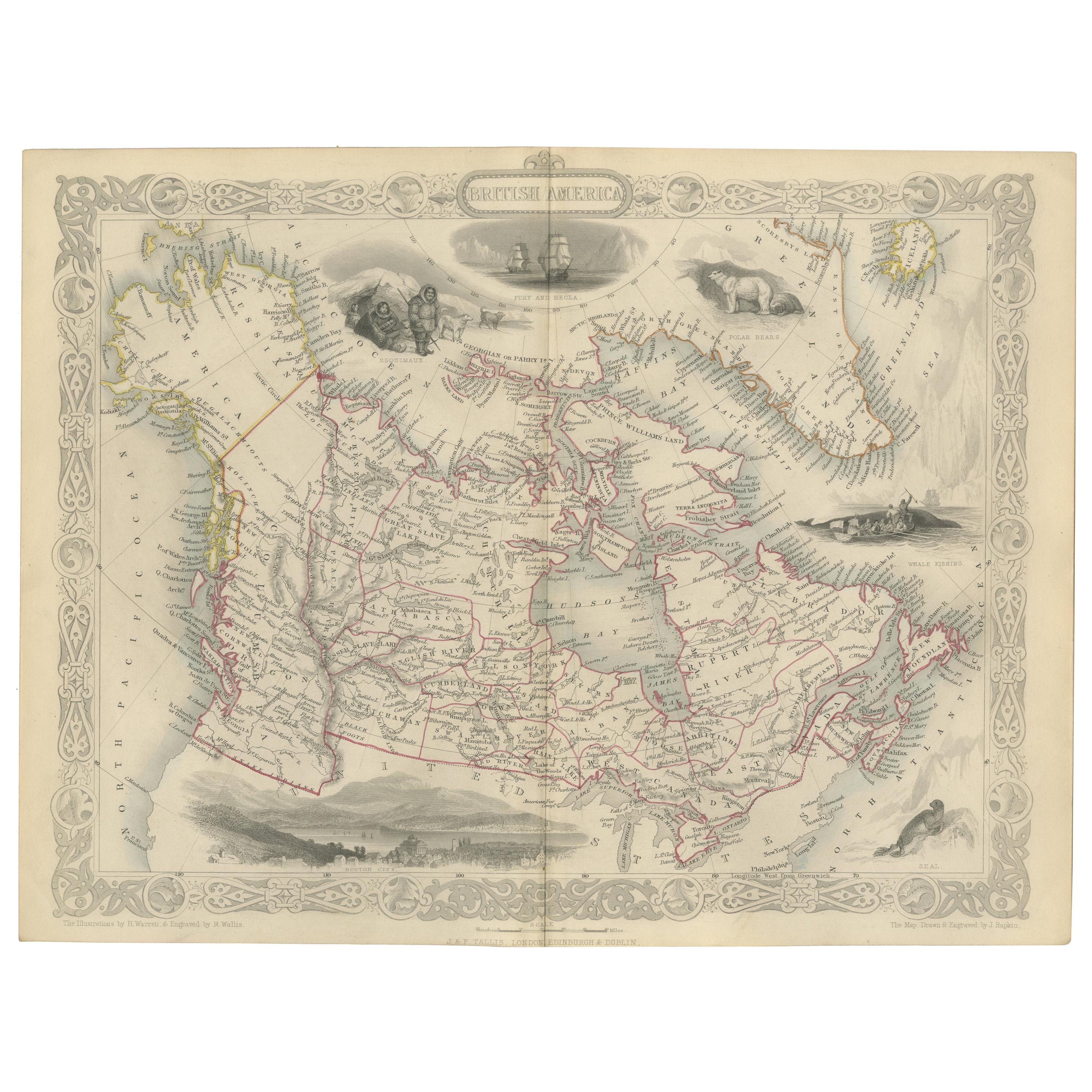
Antique Map of British America by Tallis 'c.1850'
Located in Langweer, NL
Antique map titled 'British America'. Decorative map of British America, with vignettes showing Whale Fishing, Montreal, Fury and Hecla ships asail. Thi...
Category
Antique Mid-19th Century Maps
Materials
Paper

$435 Sale Price
25% Off
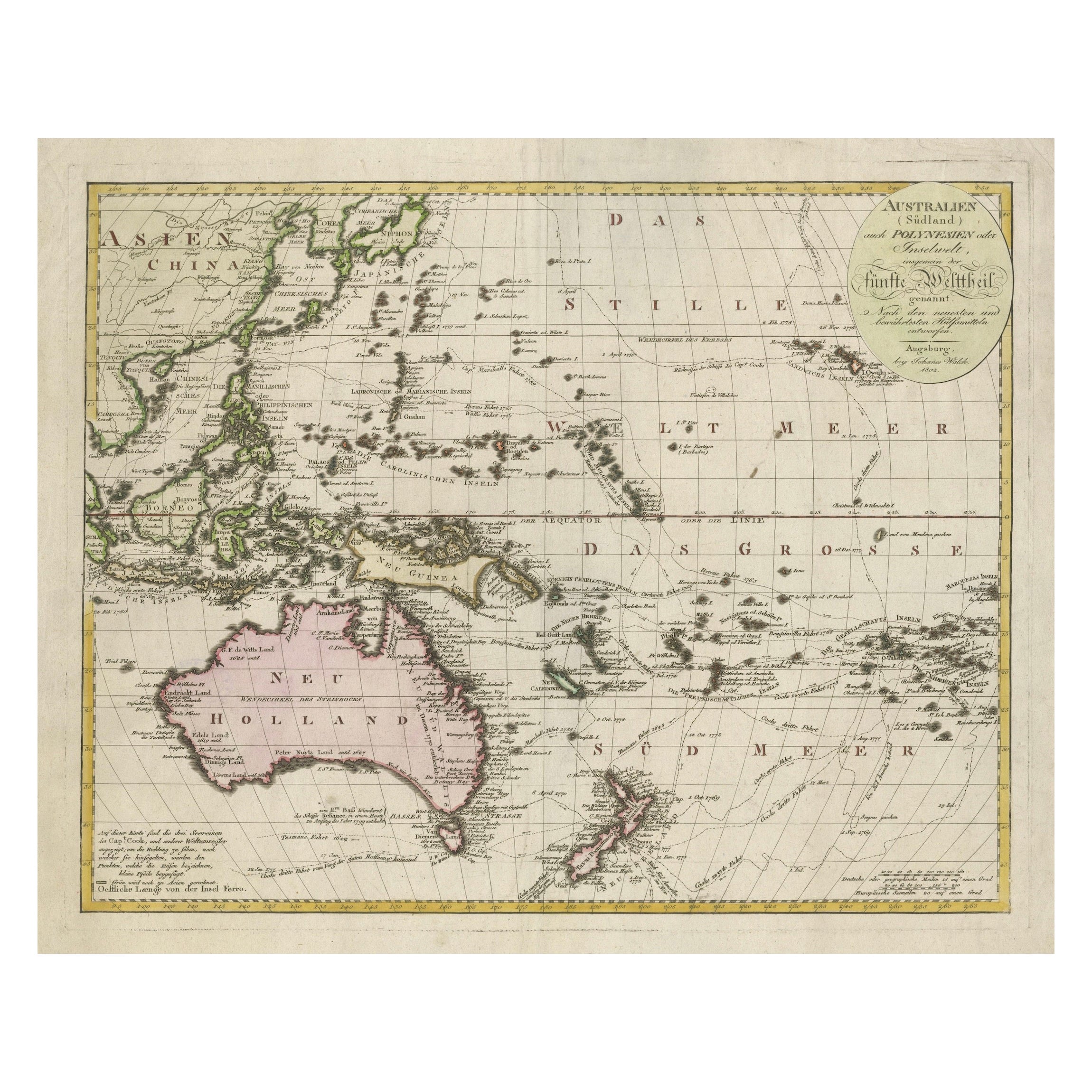
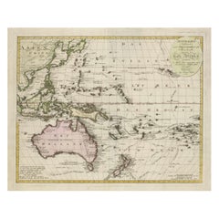
1802 Map of Australasia and the South Pacific - European Exploration Routes
Located in Langweer, NL
1802 Johann Walch Map of Australasia and the South Pacific - European Exploration Routes
This 1802 map by Johann Walch provides a highly detailed view of Australasia and the South P...
Category
Antique Early 1800s Maps
Materials
Paper
$1,671 Sale Price
20% Off
You May Also Like
Original Antique Map of South America. C.1780
Located in St Annes, Lancashire
Great map of South America
Copper-plate engraving
Published C.1780
Two small worm holes to left side of map
Unframed.
Category
Antique Early 1800s English Georgian Maps
Materials
Paper

Original Antique Map of the American State of South Carolina, 1903
Located in St Annes, Lancashire
Antique map of South Carolina
Published By A & C Black. 1903
Original colour
Good condition
Unframed.
Free shipping
Category
Antique Early 1900s English Maps
Materials
Paper

Original Antique Map of the American State of South Dakota, 1903
Located in St Annes, Lancashire
Antique map of South Dakota
Published By A & C Black. 1903
Original colour
Good condition
Unframed.
Free shipping
Category
Antique Early 1900s English Maps
Materials
Paper

Captain Cook's Exploration of Tahiti 18th C. Hand-Colored Map by Bellin
By Jacques-Nicolas Bellin
Located in Alamo, CA
This beautiful 18th century hand-colored copper plate engraved map is entitled "Carte de l'Isle de Taiti, par le Lieutenant J. Cook" was created by Jacques Nicolas Bellin and publish...
Category
Antique Mid-18th Century French Maps
Materials
Paper

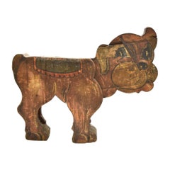
Spanish, 1850s Fair Carousel Wooden Dog
Located in Marbella, ES
Spanish, vintage hand painted wooden dog with stuck out tongue, from an old fair ground Carousel.
Category
Antique Mid-19th Century Spanish Mid-Century Modern Animal Sculptures
Materials
Wood
Original Antique Decorative Map of South America-West Coast, Fullarton, C.1870
Located in St Annes, Lancashire
Great map of Chili, Peru and part of Bolivia
Wonderful figural border
From the celebrated Royal Illustrated Atlas
Lithograph. Original color.
Published by Fullarton, Edi...
Category
Antique 1870s Scottish Maps
Materials
Paper

Recently Viewed
View AllMore Ways To Browse
Victorian Hand Colored Engraving
Peruvian Colonial
Colonial Peru
Brazilian Colonial Furniture
Chile Antique Prints
Valparaiso Chile
Curved Bench Seating With Back
Custom Poker Table
Dagmar Design
Danish Modern Loveseat
Decanter Glass Gold
Desk 51
Dining Chair Tulip Chair
Dining Chairs Chrome Curved
Dining Table Plateau
Dr Chairs
Draped Couch
Eames Chair Cushion