Items Similar to Old Map of Ancient Spain and Portugal – Hispania Antiqua Featuring Roman Cities

Want more images or videos?
Request additional images or videos from the seller
1 of 11
Old Map of Ancient Spain and Portugal – Hispania Antiqua Featuring Roman Cities
About the Item
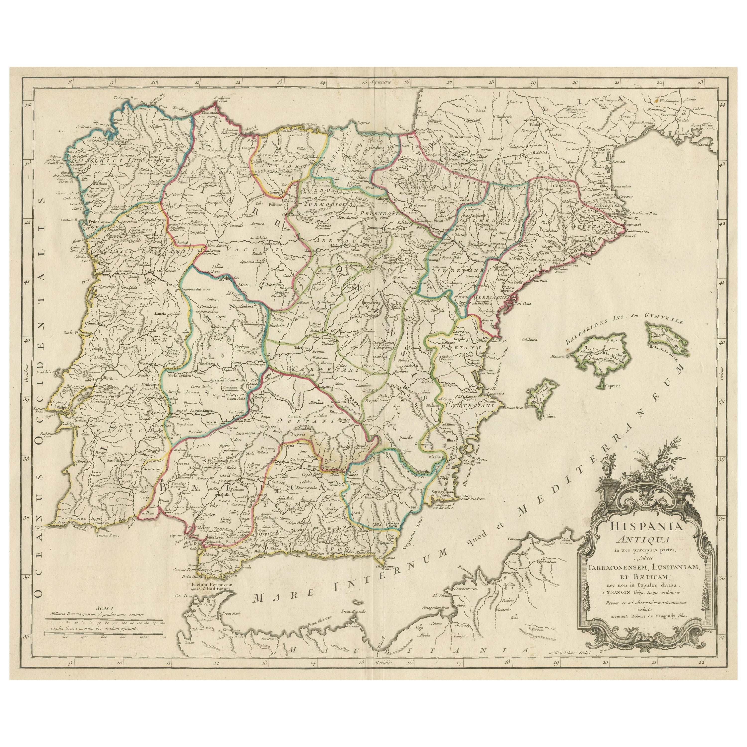
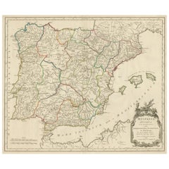
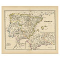
Title: "Hispania Antiqua in Tres Praecipuas Partes Divisa: Tarraconensem, Lusitaniam, et Bæticam" by Robert de Vaugondy, 18th Century
Description:
This beautifully detailed map titled "Hispania Antiqua in Tres Praecipuas Partes Divisa: Tarraconensem, Lusitaniam, et Bæticam" was created by the renowned French cartographer **Robert de Vaugondy** (Gilles or Didier) in the mid-18th century, likely around the 1750s. The map is a historical representation of the Iberian Peninsula during the Roman era, illustrating its division into the three principal regions: Tarraconense, Lusitania, and Bætica.
The map is meticulously engraved and provides a detailed depiction of ancient geographical features and cities, including **Valentia (Valencia)**, **Carthago Nova (Cartagena)**, **Gades (Cádiz)**, and **Emerita Augusta (Mérida)**.
The Balearic Islands, referred to as **Baleares Insulae seu Gymnesiae**, are prominently featured, with the islands of **Majorca (Balearis Major)**, **Minorca (Balearis Minor)**, and **Ibiza (Ebusus)** clearly labeled.
The decorative cartouche in the bottom right corner adds an artistic touch to the map, highlighting the title and credits. The cartographer, Robert de Vaugondy, was part of a famous family of mapmakers and was well-known for his detailed and accurate representations of historical geography.
This map not only serves as a geographical reference but also as a valuable historical document, offering insights into the territorial organization and key locations of the Roman Empire's influence in the Iberian Peninsula.
Paolo Santini (1729-1793) was an Venetian engraver known especially for his religious prints and fine cartographic engravings. He published in Venice and may have a been a member of the clergy. In his maps, he largely adopted and adapted the work of his French counterparts, especially the brothers de Vaugondy.
Nicolas Sanson, often referred to as the "father of French cartography," was a significant influence on many later mapmakers, including Robert de Vaugondy. Sanson’s work laid the foundation for modern cartography in France, and his methods and styles were widely respected and imitated.
In the case of this map, Robert de Vaugondy mentions Sanson on the map because:
1. **Acknowledgment of Influence**: Sanson was one of the pioneering cartographers who extensively studied and mapped ancient Roman territories, including Hispania (modern-day Spain and Portugal). By referencing Sanson, Vaugondy acknowledges the intellectual foundation and geographical information that influenced his own work.
2. **Credibility and Authority**: Mentioning Sanson adds credibility to the map. Collectors and scholars at the time would recognize Sanson’s name as a mark of high-quality and authoritative cartography, which would in turn reflect positively on Vaugondy’s work.
3. **Continuation of Tradition**: Vaugondy’s reference to Sanson indicates that his map is part of the cartographic tradition established by Sanson, which was well-regarded for its accuracy and detail. It suggests that Vaugondy’s map continues the legacy of Sanson’s meticulous work in mapping ancient Roman territories.
In summary, Sanson is mentioned on the map to acknowledge his foundational contributions to the field of cartography, to lend authority and credibility to Vaugondy’s work, and to position the map within a respected tradition of geographic scholarship.
- Dimensions:Height: 20.99 in (53.3 cm)Width: 29.73 in (75.5 cm)Depth: 0.02 in (0.5 mm)
- Materials and Techniques:Paper,Engraved
- Period:
- Date of Manufacture:1784
- Condition:General age-related toning. Original folding line, Minor wear, blank verso. Please study image carefully.
- Seller Location:Langweer, NL
- Reference Number:Seller: BG-13433-11stDibs: LU3054339028842
About the Seller
5.0
Recognized Seller
These prestigious sellers are industry leaders and represent the highest echelon for item quality and design.
Platinum Seller
Premium sellers with a 4.7+ rating and 24-hour response times
Established in 2009
1stDibs seller since 2017
2,417 sales on 1stDibs
Typical response time: <1 hour
- ShippingRetrieving quote...Shipping from: Langweer, Netherlands
- Return Policy
Authenticity Guarantee
In the unlikely event there’s an issue with an item’s authenticity, contact us within 1 year for a full refund. DetailsMoney-Back Guarantee
If your item is not as described, is damaged in transit, or does not arrive, contact us within 7 days for a full refund. Details24-Hour Cancellation
You have a 24-hour grace period in which to reconsider your purchase, with no questions asked.Vetted Professional Sellers
Our world-class sellers must adhere to strict standards for service and quality, maintaining the integrity of our listings.Price-Match Guarantee
If you find that a seller listed the same item for a lower price elsewhere, we’ll match it.Trusted Global Delivery
Our best-in-class carrier network provides specialized shipping options worldwide, including custom delivery.More From This Seller
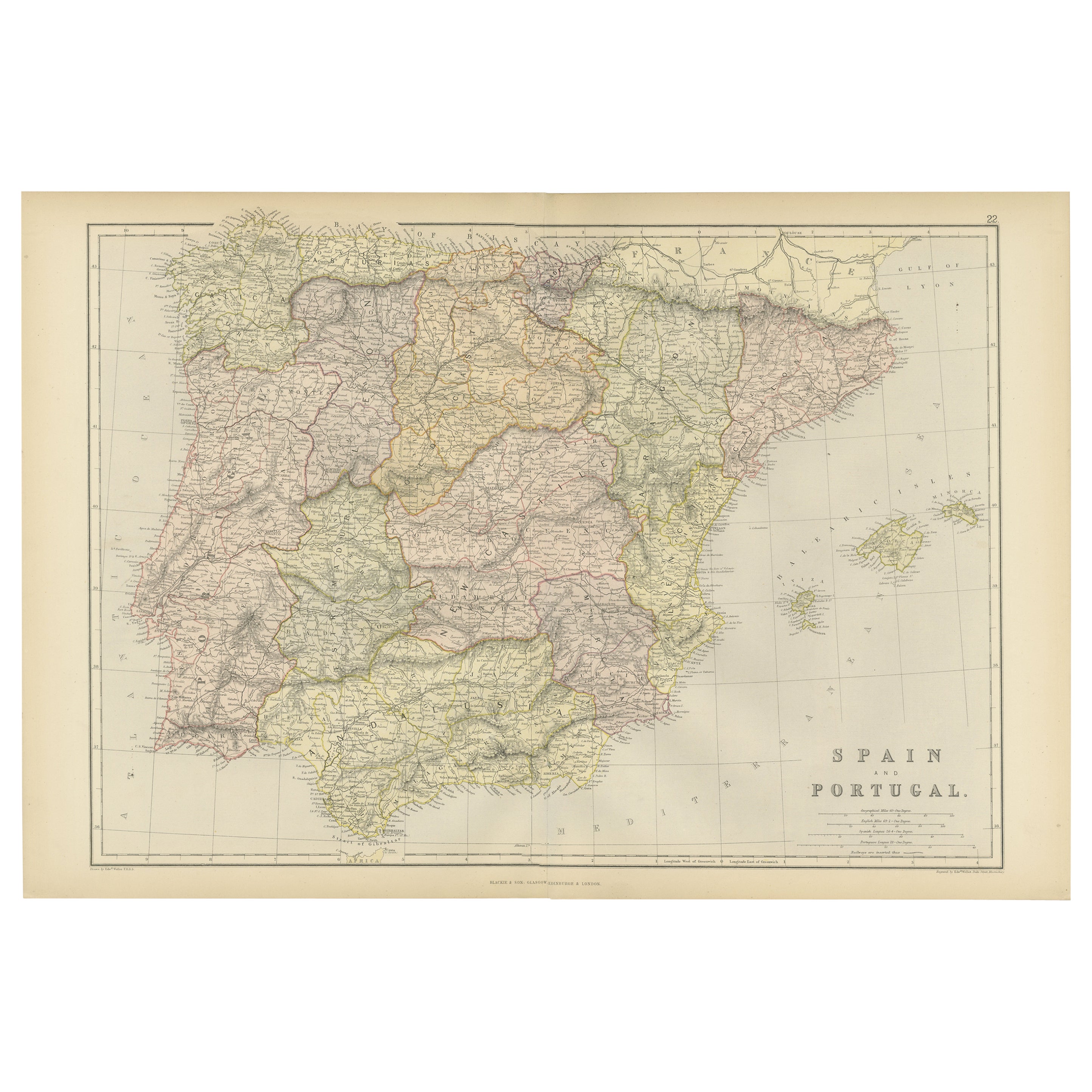
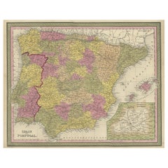
View AllLarge Antique Map of Ancient Spain and Portugal, Published in circa 1760
Located in Langweer, NL
Antique map titled 'Hispania Antiqua (..)'. Map of ancient Spain and Portugal. Engraved by G. Delahaye. Published circa 1760, by or after Sanson & Vaugondy.
Category
Antique Mid-18th Century Maps
Materials
Paper
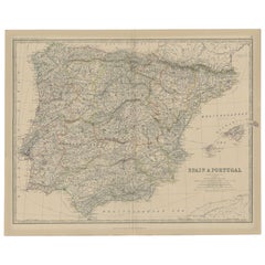
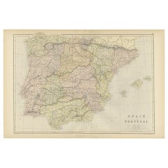
Antique Map of Spain and Portugal, 1882
Located in Langweer, NL
"Antique map titled 'Spain & Portugal'.
Old map of Spain and Portugal. This map originates from 'The Royal Atlas of Modern Geography, Exhibiting, in a S...
Category
Antique 19th Century Maps
Materials
Paper
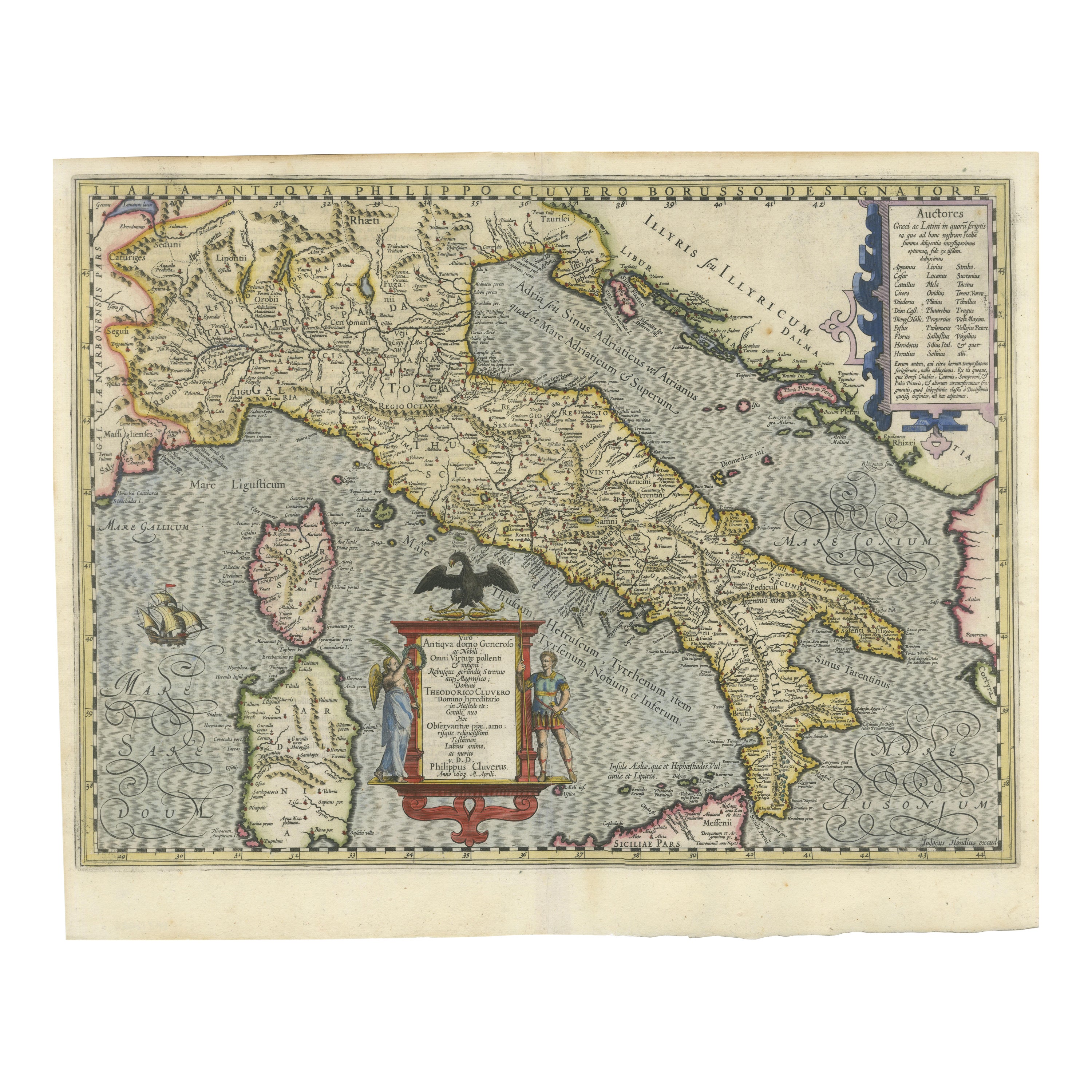
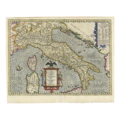
Italia Antiqua Philippo Cluvero – 1603 Hondius Map of Ancient Italy, Handcolored
Located in Langweer, NL
Italia Antiqua Philippo Cluvero – 1603 Hondius Map of Ancient Italy with Hand Color
This stunning early 17th-century map, *Italia Antiqua Philippo Cluvero Borusso Designatore*, wa...
Category
Antique Early 1600s Maps
Materials
Paper
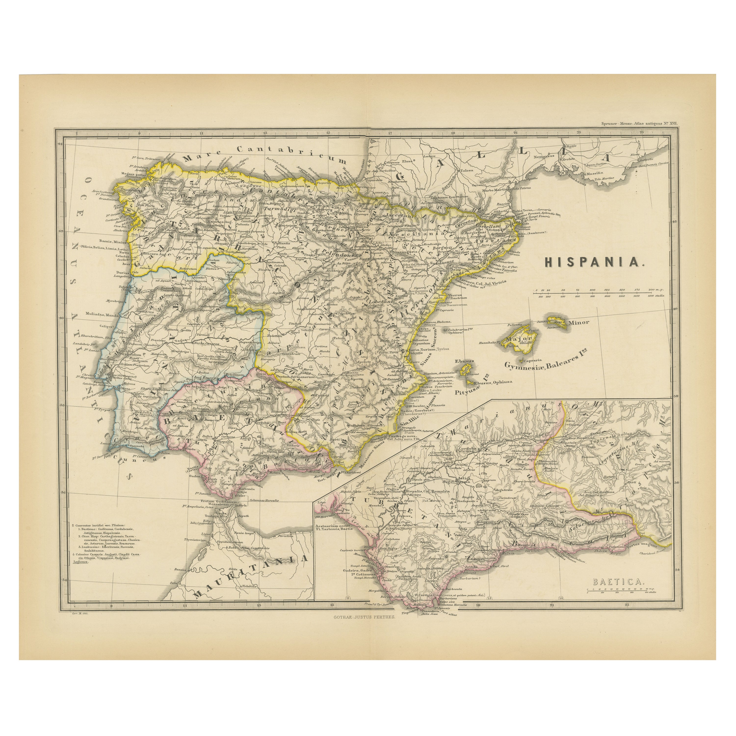
Ancient Iberia: Hispania Map from Spruner-Menke Atlas Antiquus, 1880
Located in Langweer, NL
This map is titled "HISPANIA," indicating it is a historical map of ancient Spain.
It is an original antique map from the "Spruner-Menke Atlas Antiquus," a 19th-century historical a...
Category
Antique 1880s Maps
Materials
Paper
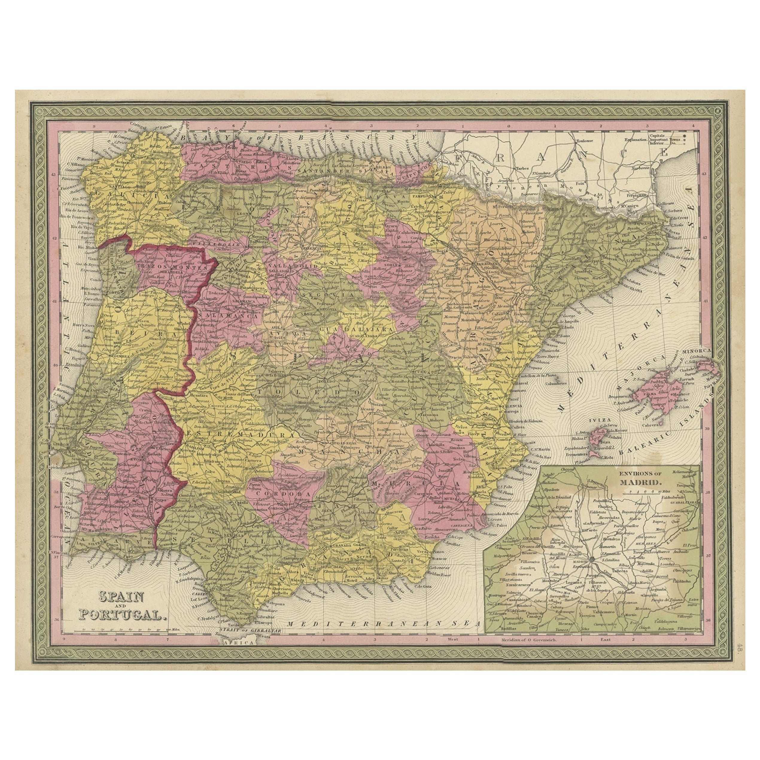
Old Map of Spain and Portugal, with an Inset Map of the Region of Madrid, 1846
Located in Langweer, NL
Antique map titled 'Kingdom of Spain and Portugal'.
Old map of Spain and Portugal, with an inset map of the region of Madrid. This map originates from 'A New Universal Atlas Cont...
Category
Antique 1840s Maps
Materials
Paper
Original Antique Map of Spain and Portugal, 1882
Located in Langweer, NL
Embark on a historical voyage with an original Antique Map of Spain and Portugal from the esteemed 'Comprehensive Atlas and Geography of the World,' meticulously crafted in 1882. Thi...
Category
Antique 1880s Maps
Materials
Paper
You May Also Like
Original Antique Map of Spain and Portugal, circa 1790
Located in St Annes, Lancashire
Super map of Spain and Portugal
Copper plate engraving by A. Bell
Published, circa 1790.
Unframed.
Category
Antique 1790s English Other Maps
Materials
Paper

Framed Mercator Hondius Hispania Nova Atlas Minor Map
Located in Stamford, CT
Framed colored example of this decorative and important minature map. Newly framed in brown wood frame with gold trim.
Mercator Hondius “Atlas Minor” pu...
Category
Antique 17th Century Dutch Spanish Colonial Maps
Materials
Glass, Wood, Paper

18th Century Hand Colored Map of Spain and Portugal by Visscher
By Nicolaes Visscher II
Located in Alamo, CA
This is an early 18th century map of Spain and Portugal, with attractive original hand-coloring, entitled "Hispaniae et Portugalliae Regna per Nicolaum Visscher cum Privilegio Ordinu...
Category
Antique Early 18th Century Dutch Maps
Materials
Paper

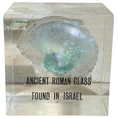
Ancient Roman Glass
Located in Delray Beach, FL
Beautiful original ancient Roman glass embedded in Lucite cube, was used for containing perfume. Exceptional object of art for display.
Category
Antique 15th Century and Earlier Israeli Glass
Materials
Murano Glass
$395 Sale Price
71% Off
Old Horizontal Map of England
By Tasso
Located in Alessandria, Piemonte
ST/520 - Old rare Italian map of England, dated 1826-1827 - by Girolamo Tasso, editor in Venise, for the atlas of M.r Le-Sage.
Category
Antique Early 19th Century Italian Other Prints
Materials
Paper

Antique Map of American Cities, Vignette of New York City, circa 1920
Located in St Annes, Lancashire
Great maps of American Cities
Unframed
Original color
By John Bartholomew and Co. Edinburgh Geographical Institute
Published, circa 1920
Category
Vintage 1920s British Maps
Materials
Paper

Recently Viewed
View AllMore Ways To Browse
Ancient Roman Empire
Used Furniture Augusta
Antique Furniture Augusta
Curule Seats
Czech Oak Table
Daniel And Arter Ceramics
Danish Folding Chairs
Drexel Chairs Vintage
Eames Hand Chairs
Ebonized And Cane
Egg Bowl
English Country Armchairs
Entrance Hooks
Entryway Console Marble
Expanding Dining Tables Antique
Fabric Folding Screen
Fabric Patterned Bench
Filigree Chinese