Items Similar to Hand-colored Nautical Chart: St. George's Channel and the Irish Sea, 1744

Want more images or videos?
Request additional images or videos from the seller
1 of 7
Hand-colored Nautical Chart: St. George's Channel and the Irish Sea, 1744
About the Item
The map was engraved by Richard William Seale, a notable British engraver. This map is a fine example of 18th-century cartography, particularly focused on maritime navigation.
The map is titled "A Correct Chart of St. George's Channel and the Irish Sea," and it appears to be a historical nautical chart. Here are the key details and features of the map:
The map covers the region of the Irish Sea, including the coasts of Ireland, Wales, and parts of Scotland and England. The map highlights the provinces of Connaught, Leinster, Munster, and Ulster, with detailed markings of coastal towns and geographical features.
Regarding regions in Great Britain, it includes parts of North Wales, South Wales, and the western coast of England, as well as part of Scotland.
The map features a compass rose in the Irish Sea, indicating directions for navigation. Lines radiating from the compass rose suggest bearings or routes commonly used by ships. Various towns, cities, and geographical features like rivers and headlands are labeled along the coasts.
The title cartouche is ornately decorated, typical of the artistic style of historical maps.
The map was likely used for maritime navigation and would have been a valuable resource for sailors navigating St. George's Channel and the Irish Sea during the period it was created. The detailed labeling of coastal features and towns would have helped in accurate navigation and charting courses between ports.
Richard William Seale (d. 1785, fl. 1732-1772) was a well-known engraver and draughtsman based in London. His work frequently appeared in various publications of the 18th century. Some notable aspects of his career include:
- **Contribution to Tindal’s Continuation of "Rapin's History of England"**: This significant work, spanning 1744-1777, included maps depicting military actions during the War of the Spanish Succession, especially in the Low Countries and Spain. It also featured contemporary maps of the British Isles and parts of the wider world.
- **Work in Periodicals**: Seale contributed to various periodicals of the time, such as the “London Magazine” and the “Universal Magazine.”
- **Books and Atlases**: Besides periodicals, he also worked on a wide range of other books, magazines, and atlases, reflecting his versatility and prominence as an engraver.
The map is published by Mount and Page on January 1, 1780, likely benefited from Seale's expertise in cartography and engraving, making it a valuable piece of historical cartographic work.
- Dimensions:Height: 20.16 in (51.2 cm)Width: 15.56 in (39.5 cm)Depth: 0 in (0.02 mm)
- Materials and Techniques:Paper,Engraved
- Period:1740-1749
- Date of Manufacture:1744
- Condition:Good condition. General age-related toning and/or occasional minor defects from handling. Horizontal folding lines, professionally flattened. Please study scan carefully.
- Seller Location:Langweer, NL
- Reference Number:Seller: BG-13754-21stDibs: LU3054340313062
About the Seller
5.0
Recognized Seller
These prestigious sellers are industry leaders and represent the highest echelon for item quality and design.
Platinum Seller
Premium sellers with a 4.7+ rating and 24-hour response times
Established in 2009
1stDibs seller since 2017
2,419 sales on 1stDibs
Typical response time: <1 hour
- ShippingRetrieving quote...Shipping from: Langweer, Netherlands
- Return Policy
Authenticity Guarantee
In the unlikely event there’s an issue with an item’s authenticity, contact us within 1 year for a full refund. DetailsMoney-Back Guarantee
If your item is not as described, is damaged in transit, or does not arrive, contact us within 7 days for a full refund. Details24-Hour Cancellation
You have a 24-hour grace period in which to reconsider your purchase, with no questions asked.Vetted Professional Sellers
Our world-class sellers must adhere to strict standards for service and quality, maintaining the integrity of our listings.Price-Match Guarantee
If you find that a seller listed the same item for a lower price elsewhere, we’ll match it.Trusted Global Delivery
Our best-in-class carrier network provides specialized shipping options worldwide, including custom delivery.More From This Seller
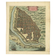
View AllAttractive Hand-Colored Antique Plan of Nagapattinam in India, 1744
Located in Langweer, NL
Antique map titled 'Negapatam.' Attractive bird's-eye view of Nagapattinam, India from Churchill's 'A Collection of Voyages and Travels, some now first printed from original manuscri...
Category
Antique 18th Century Maps
Materials
Paper
$514 Sale Price
24% Off
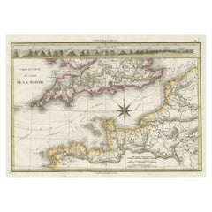
Decorative Hand-Colored French Map of the English Channel, 1827
Located in Langweer, NL
Antique map titled 'Carte et Coupe du Canal de la Manche'. Original antique map of the English Channel. Relief shown by hachures; depths by isolines. Profile...
Category
Antique Mid-19th Century Maps
Materials
Paper
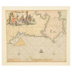
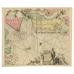
Original Hand-Coloured Nautical Chart of West-Africa, c.1680
Located in Langweer, NL
NIEUWE PASKAERT VAN DE KUST VAN GENEHOA (Senegal) alsmede een gedeelte van Gambia beginnende an C. Blanco tot C. Verde (...). Amsterdam, Johannus van Keulen, c. 1680.
Large folio...
Category
Antique 17th Century Maps
Materials
Paper
$1,347 Sale Price
20% Off
Large German Chart of the Islands of the Philippines with Hand-Colored Borders
Located in Langweer, NL
Original antique map titled 'Karte von dem Canal in den Philippinischen Inseln (..)'. Large detailed chart of the islands of the Philippines. One of the most detailed charts of the Philippines of the era. Shows Islands, bays, reefs, soundings tracks of the Manila Galleon route, etc. Includes a large compass rose and rhumb lines. Originates from a German edition of "Voyage around the World...
Category
Antique Mid-18th Century Maps
Materials
Paper
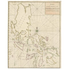
$920 Sale Price
20% Off
Rare Sea Chart of the East Frisian Islands or Watten and the North Sea, c.1700
Located in Langweer, NL
Description: Antique map titled 'Paskaarte van de rievier de Elve streckende van Oldenbroek tot Hamburgh.'
Rare and interesting chart of the East Frisian Islands (or Watten) and ...
Category
Antique Early 1700s Maps
Materials
Paper
$1,719 Sale Price
20% Off
Large Chart of the island and sea of Java, Indonesia
Located in Langweer, NL
Antique map titled 'Carte Esférica de la Isla Y Mar de Java'. Large chart of the island and sea of Java, Indonesia. Beautiful nautical chart, published 1863 in Spain.
Category
Antique Mid-19th Century Maps
Materials
Paper

$2,323 Sale Price
20% Off
You May Also Like
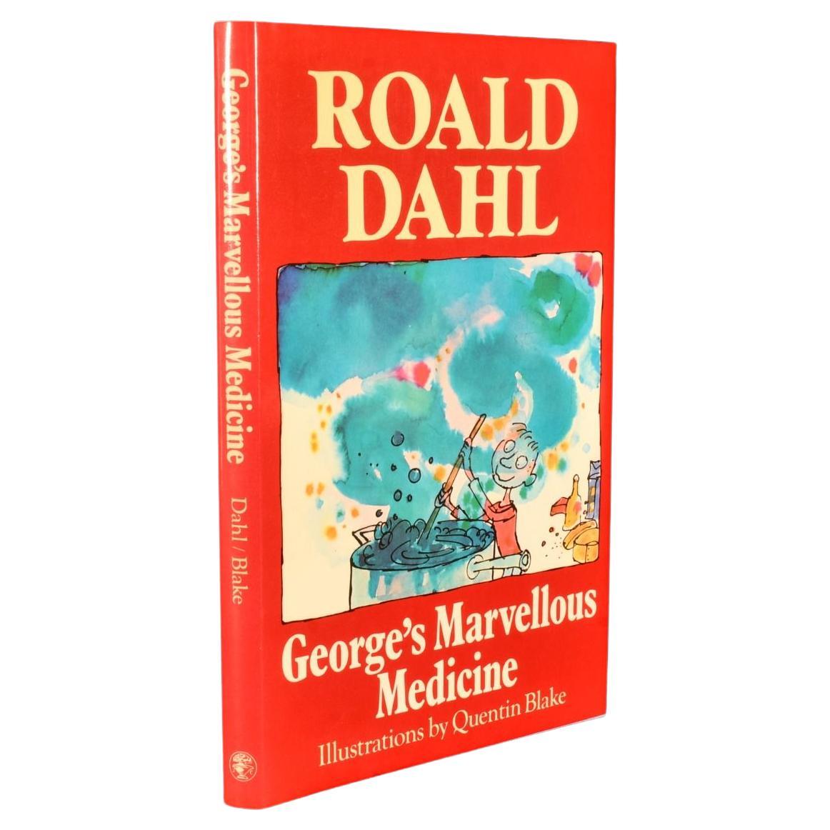
1981 George's Marvellous Medicine
By Roald Dahl
Located in Bath, GB
A fine first edition of Roald Dahl's beloved children's novel about a boy named George, who replaces his grandmother's medicine with a hazardous concoction.
The first edition, first impression, in the publisher's original price unclipped dust wrapper.
Illustrated throughout by Quentin Blake.
Dahl's novel follows George Kranky, an eight-year-old boy...
Category
Vintage 1980s British Books
Materials
Paper

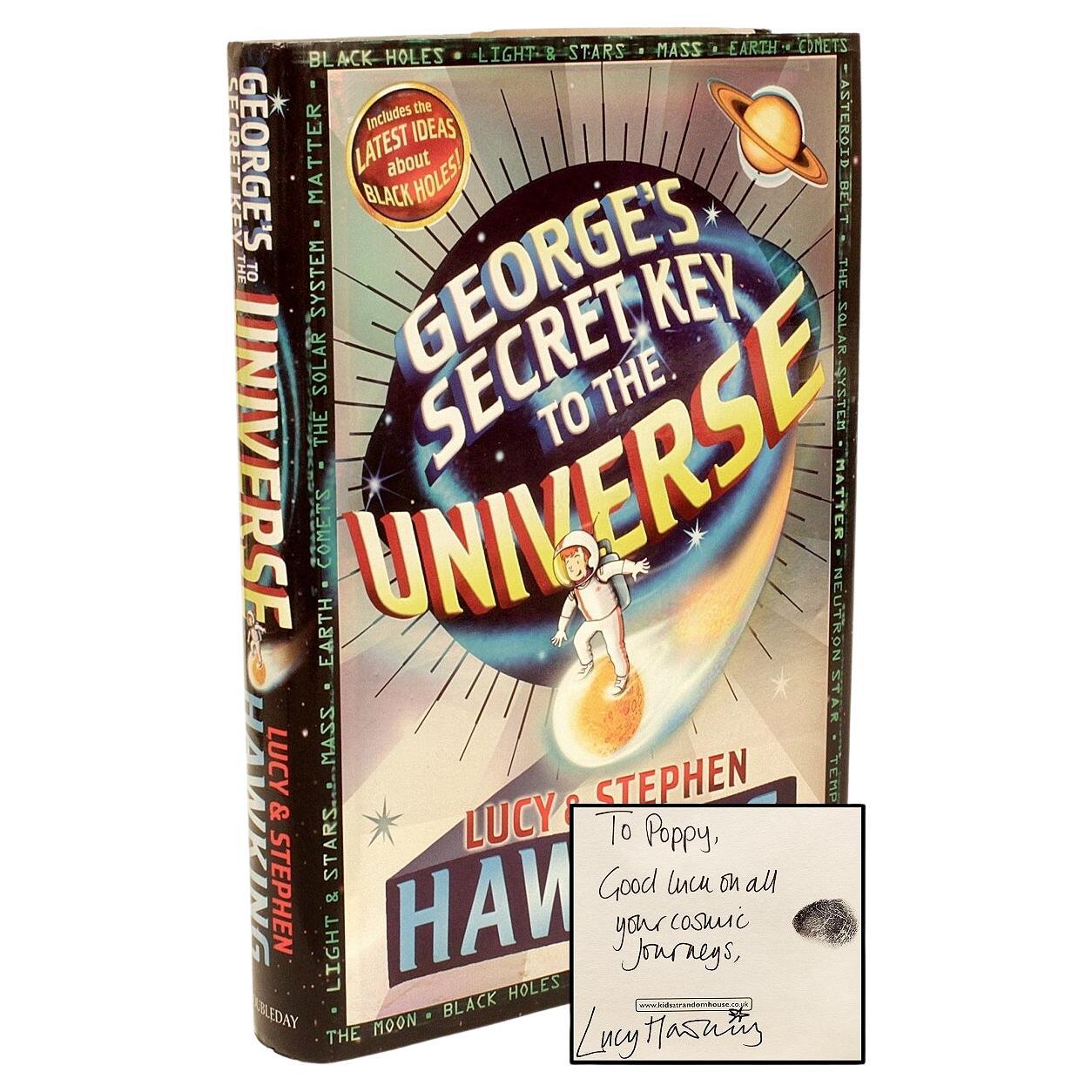
Lucy & Stephen Hawking. George's Secret Key to the Universe, 1st Ed, Signed
Located in Hillsborough, NJ
Author: HAWKING, Lucy & Stephen.
Title: George's Secret Key To The Universe.
Publisher: London: Doubleday, 2007.
Description: first London edition...
Category
Early 2000s British Books
Materials
Fabric

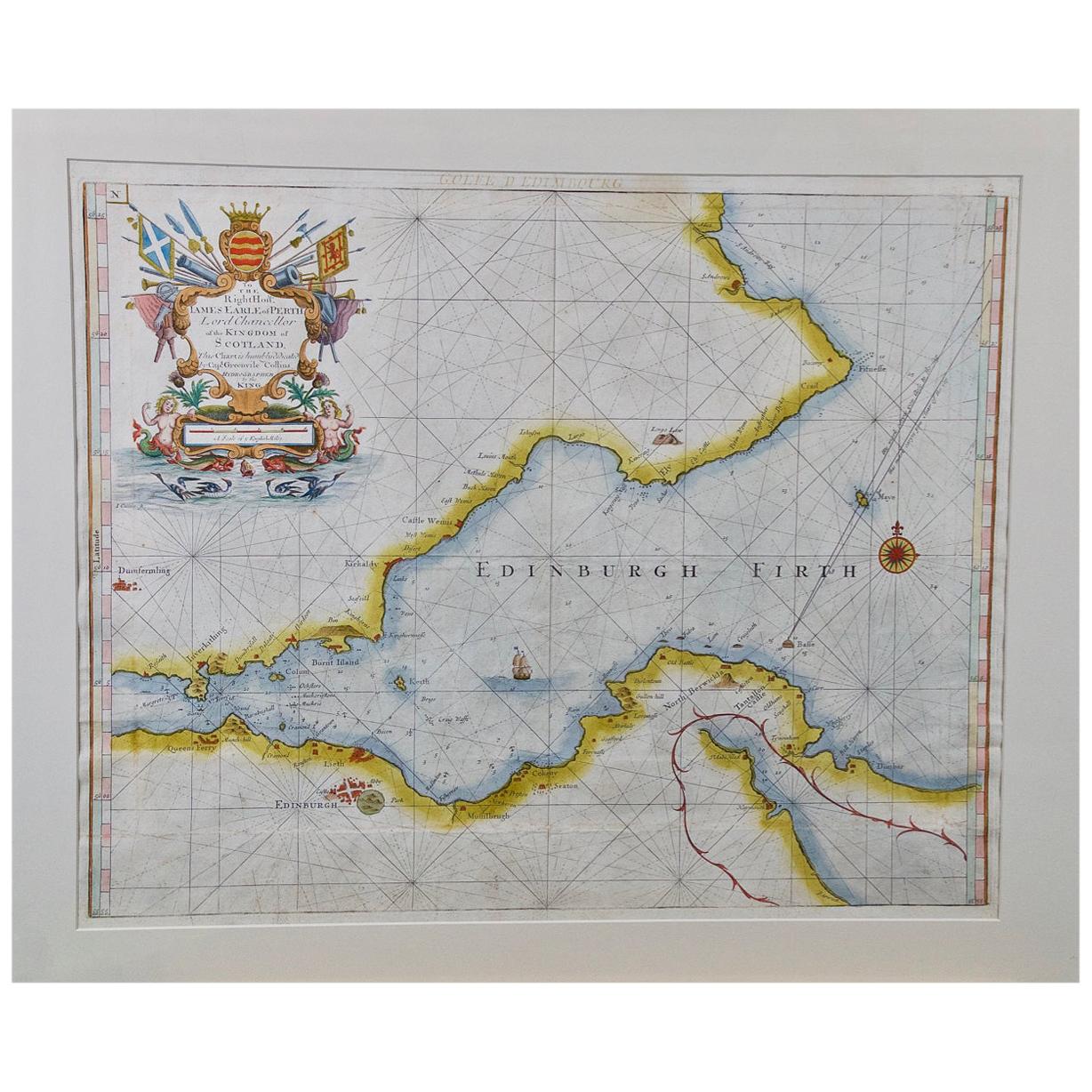
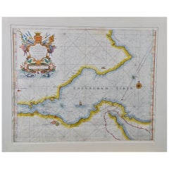
Edinburgh, Scotland Coast: A 17th Century Hand-Colored Sea Chart by Collins
By Captain Greenvile Collins
Located in Alamo, CA
This hand-colored sea chart is entitled "Edinburgh Firth" from "Great Britain's Coasting Pilot. Being a New and Exact Survey of the Sea-Coast of England" by Captain Greenville Collin...
Category
Antique Late 17th Century English Maps
Materials
Paper
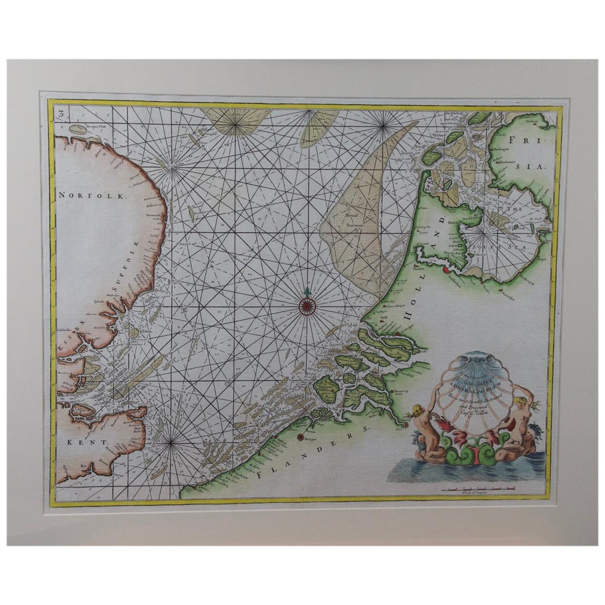
Flanders, Holland & Norfolk: Hand-Colored 17th Century Sea Chart by Collins
By Captain Greenvile Collins
Located in Alamo, CA
This hand-colored chart of the seas about Flanders, Holland, Frisia, and Norfolk is from "Great Britain's Coasting Pilot. Being a New and Exact Survey of the Sea-Coast of England" by...
Category
Antique Late 17th Century English Maps
Materials
Paper

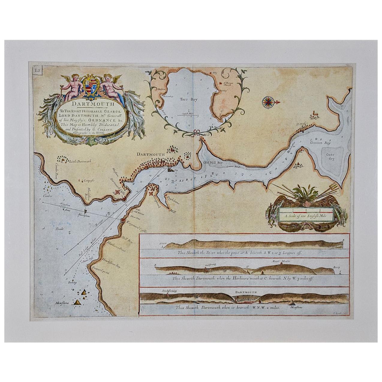
Dartmouth, England: A Hand-Colored 17th Century Sea Chart by Captain Collins
By Captain Greenvile Collins
Located in Alamo, CA
This hand-colored sea chart of the area around Dartmouth, England is from "Great Britain's Coasting Pilot. Being a New and Exact Survey of the Sea-Coast of England", first published ...
Category
Antique Late 17th Century English Maps
Materials
Paper

Plymouth, England: A Hand-Colored 17th Century Sea Chart by Captain Collins
By Captain Greenvile Collins
Located in Alamo, CA
This hand-colored sea chart of the area around Plymouth, England from "Great Britain's Coasting Pilot. Being a New and Exact Survey of the Sea-Coast of England", first published in 1...
Category
Antique Late 17th Century English Maps
Materials
Paper

Recently Viewed
View AllMore Ways To Browse
British Compass
Antique Compass London
Antique Furniture North Wales
18th Century Nautical Engraving
Military Compass
Iron Scroll Coffee Table
Iron Scroll Console Table
Italian Rattan Stools
Italian Tumbler
Jansen Mirror Table
Japanese Export Silver
Jens Quistgaard For Dansk Teak
Karabagh Kilim
Kartell Four
King Louis Dining Table
Kitchen Furniture Bakelite
Leather Accent Chairs Pair
Library Wall Panels