Items Similar to Detailed Antique Map of Santa Domingo, Puerto Rico, Eastern Bahamas, ca. 1780
Want more images or videos?
Request additional images or videos from the seller
1 of 5
Detailed Antique Map of Santa Domingo, Puerto Rico, Eastern Bahamas, ca. 1780
About the Item
Description: Antique map titled 'L'Isle De St. Domingue, et celle De Porto-Rico.'
Detailed map of Santa Domingo, Puerto Rico, etc. Includes substantial topographical detail. Includes Eastern Bahamas. This map originates from 'Atlas de Toutes les Parties Connues du Globe Terrestre'.
Artists and Engravers: Rigobert Bonne (1727-1795 ) was one of the most important cartographers of the late 18th century. In 1773 he succeeded Jacques Bellin as Royal Cartographer to France in the office of the Hydrographer at the Depôt de la Marine. Working in his official capacity Bonne compiled some of the most detailed and accurate maps of the period. Bonne's work represents an important step in the evolution of the cartographic ideology away from the decorative work of the 17th and early 18th century towards a more detail oriented and practical aesthetic. With regard to the rendering of terrain Bonne maps bear many stylistic similarities to those of his predecessor, Bellin. However, Bonne maps generally abandon such common 18th century decorative features such as hand coloring, elaborate decorative cartouches, and compass roses. While mostly focusing on coastal regions, the work of Bonne is highly regarded for its detail, historical importance, and overall aesthetic appeal.
Condition: Good, given age. Slight discolouration near middle fold. Small crease top right margin. Some miniscule unobtrusive wormholes in the lower margin, and two tiny pinholes beside the middle fold in the center of the sheet. Original middle fold as issued. A crease in the lower left margin corner. General age-related toning and/or occasional minor defects from handling. Please study image carefully.
- Dimensions:Height: 11.42 in (29 cm)Width: 15.12 in (38.4 cm)Depth: 0 in (0.02 mm)
- Materials and Techniques:
- Period:1780-1789
- Date of Manufacture:circa 1780
- Condition:
- Seller Location:Langweer, NL
- Reference Number:Seller: PCT-57896 1stDibs: LU3054326446072
About the Seller
5.0
Recognized Seller
These prestigious sellers are industry leaders and represent the highest echelon for item quality and design.
Platinum Seller
Premium sellers with a 4.7+ rating and 24-hour response times
Established in 2009
1stDibs seller since 2017
2,412 sales on 1stDibs
Typical response time: 1 hour
- ShippingRetrieving quote...Shipping from: Langweer, Netherlands
- Return Policy
Authenticity Guarantee
In the unlikely event there’s an issue with an item’s authenticity, contact us within 1 year for a full refund. DetailsMoney-Back Guarantee
If your item is not as described, is damaged in transit, or does not arrive, contact us within 7 days for a full refund. Details24-Hour Cancellation
You have a 24-hour grace period in which to reconsider your purchase, with no questions asked.Vetted Professional Sellers
Our world-class sellers must adhere to strict standards for service and quality, maintaining the integrity of our listings.Price-Match Guarantee
If you find that a seller listed the same item for a lower price elsewhere, we’ll match it.Trusted Global Delivery
Our best-in-class carrier network provides specialized shipping options worldwide, including custom delivery.More From This Seller
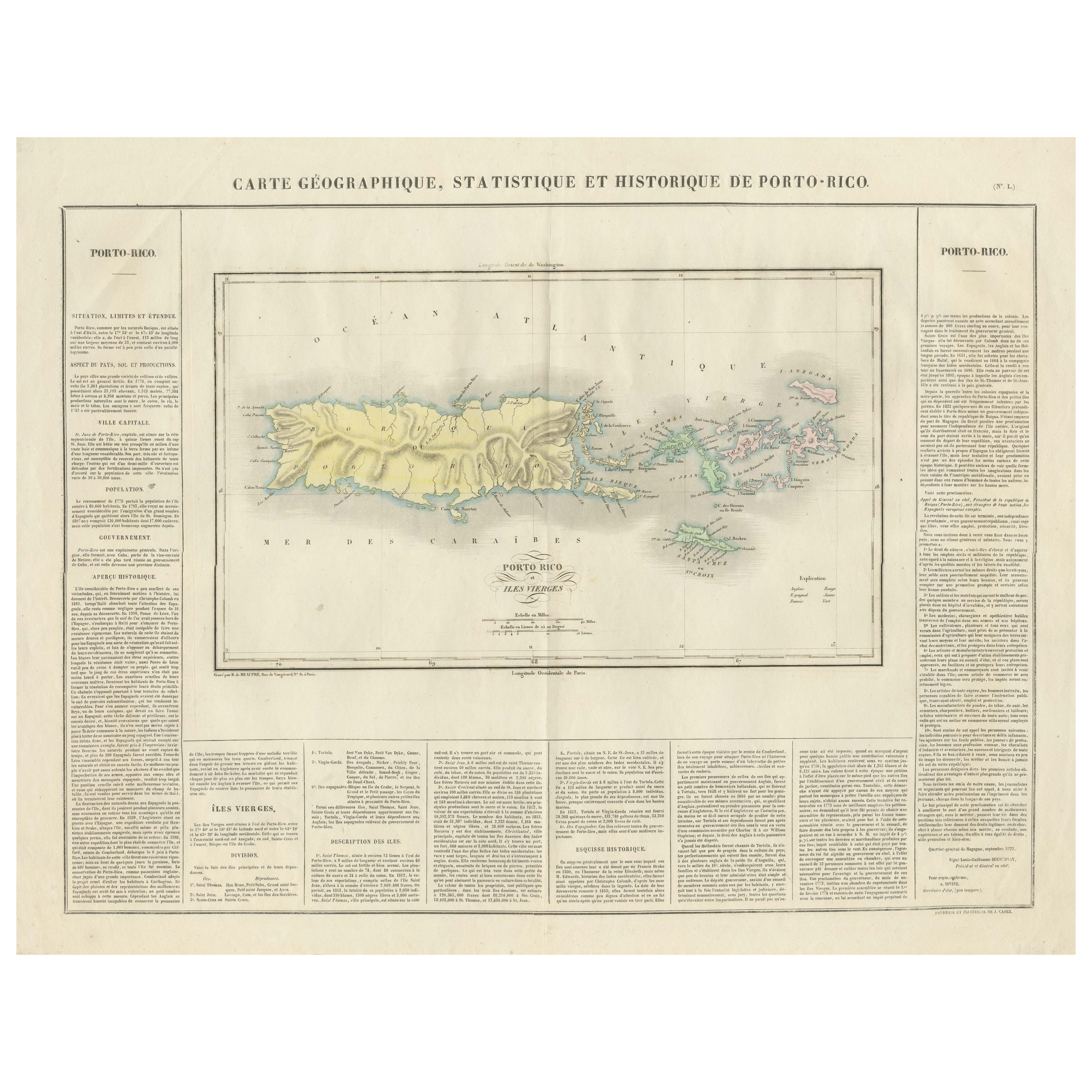
View All1825 Buchon Map of Puerto Rico & Virgin Islands with Detailed Colonial History
Located in Langweer, NL
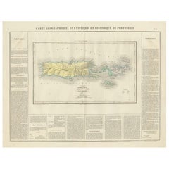
This map of Puerto Rico and the Virgin Islands, published by Jean Alexandre Buchon in 1825, offers a unique look at the Caribbean during a time of E...
Category
Antique 1820s Maps
Materials
Paper
$425 Sale Price
20% Off
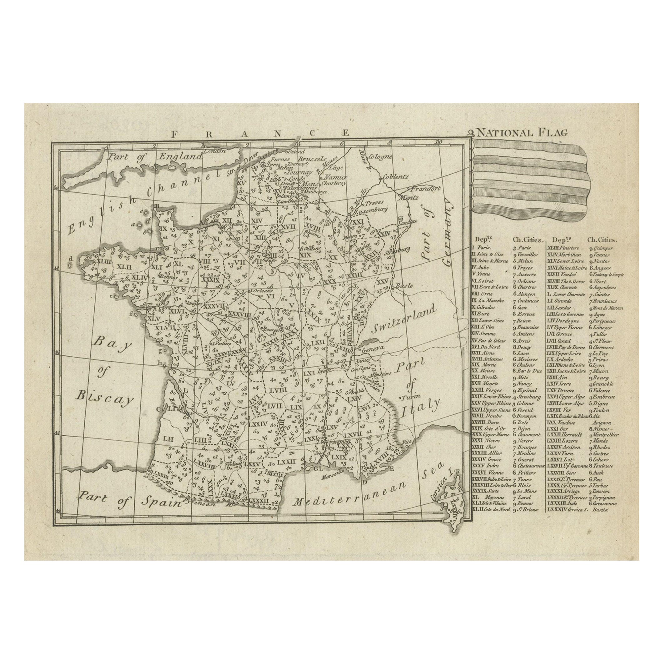
Small Detailed Antique Map of France, c.1780
Located in Langweer, NL
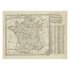
Antique map titled 'France'. Small, detailed map of France with legend. Also depicting the English Channel, Bay of Biscay, Part of Spain, the Mediterranean Sea, Part of Italy, Switze...
Category
Antique 18th Century Maps
Materials
Paper
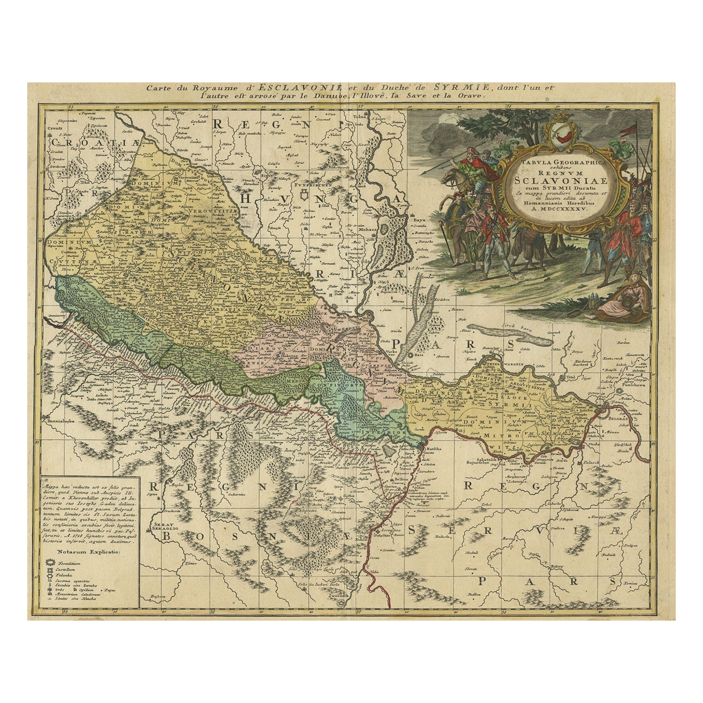
Detailed Antique Map of Slavonia, the Region in Eastern Croatia, ca.1745
Located in Langweer, NL
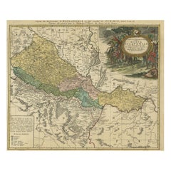
Antique map titled 'Tabula Geographica exhibens Regnum Sclavoniae.'
Detailed map of Slavonia, the region in eastern Croatia. Map is dated shortly after the Peace of Belgrade sign...
Category
Antique 1740s Maps
Materials
Paper
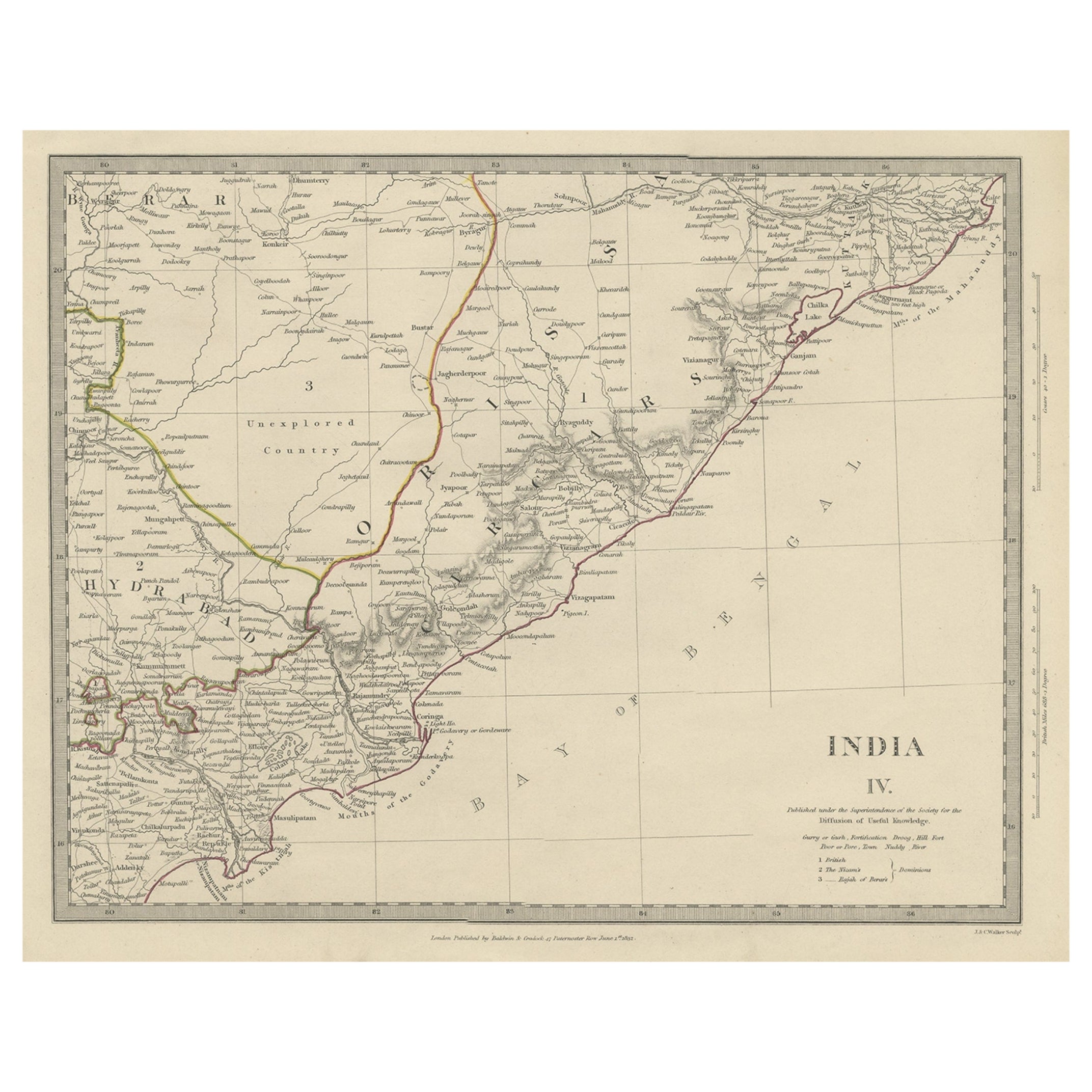
Interesting Detailed Antique Map of Eastern India, 1832
Located in Langweer, NL
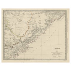
Antique map titled 'India IV'. Old steel engraved map of the eastern part of India, including the Bay of Bengal, Hydrabad and Masulipatam.
Artists and...
Category
Antique 19th Century Maps
Materials
Paper
Antique 1683 Map of Hispaniola and Puerto Rico in the Caribbean by Mallet
Located in Langweer, NL
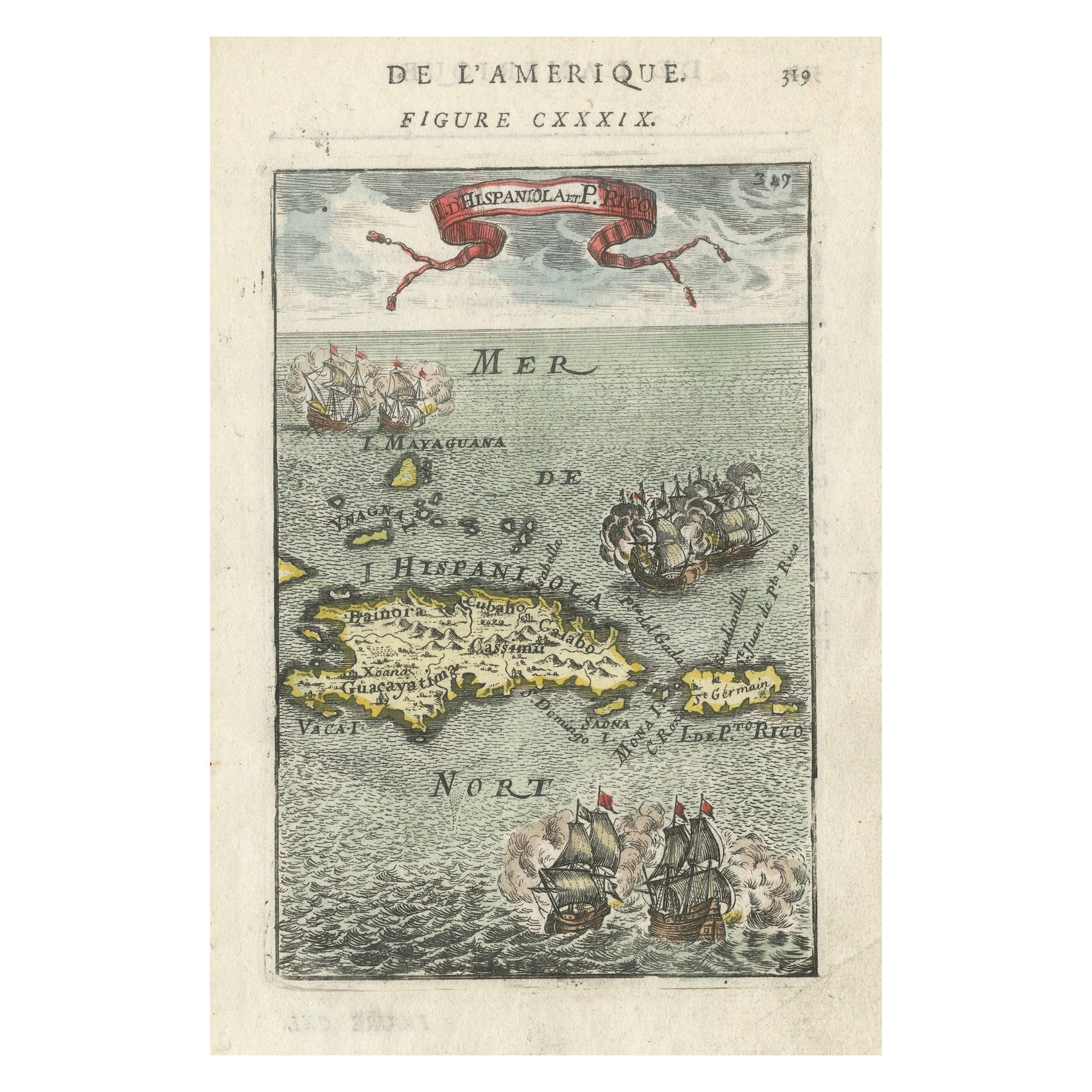
Title: 17th Century Map of Hispaniola and Puerto Rico by Mallet (1683)
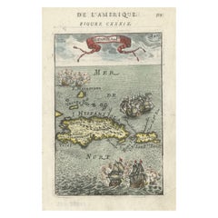
This exquisite 17th-century map by Mallet, titled "I. d'Hispaniola et P.to Rico," showcases the islands of Hispaniola and Puerto Rico with remarkable detail. Published in Paris in 1683 as part of Mallet's monumental "Description de l'Univers," this map is a prime example of historical cartography from the era.
Map Features:
- Detailed depiction of Hispaniola and Puerto Rico
- Nearby islands: Inagua islands, Mayaguana, Île-à-Vache, Saona, and Mona
- Three illustrated naval battles surrounding the islands
- Hand-colored illustrations typical of the period
- Published in Paris, 1683, as part of the "Description de l'Univers"
- Engraved with artistic and geographic precision
Collectors and enthusiasts of antique maps will appreciate the historical significance and artistic detail of this rare print. Although small, the map is perfect for framing and this map serves as a captivating piece of history, reflecting the maritime exploration and territorial knowledge of the late 17th century.
The maker of the map is Allain Manesson Mallet, a notable 17th-century cartographer, military engineer, and author. Born in Paris in 1630, Mallet served in the French army and worked as a military engineer under Louis XIV. He later became a professor of mathematics and military architecture.
Mallet is best known for his monumental work, "Description de l'Univers," published in Paris in 1683. This extensive publication is considered one of the greatest works of its kind in the 17th century, providing detailed descriptions and maps of various parts of the world. Mallet's maps are renowned for their artistic quality, intricate details, and the inclusion of illustrative elements such as ships, sea creatures, and topographical features.
Mallet's contributions to cartography and his work in "Description de l'Univers" have left a lasting impact on the field, making his maps highly valued by collectors and historians.
Keywords:
- 17th-century map
- Mallet map 1683
- Hispaniola map
- Puerto Rico map
- Antique Caribbean map...
Category
Antique 1830s Maps
Materials
Paper
$351 Sale Price
20% Off
Large and Detailed Map of the Russian Empire in Asia, ca.1780
Located in Langweer, NL
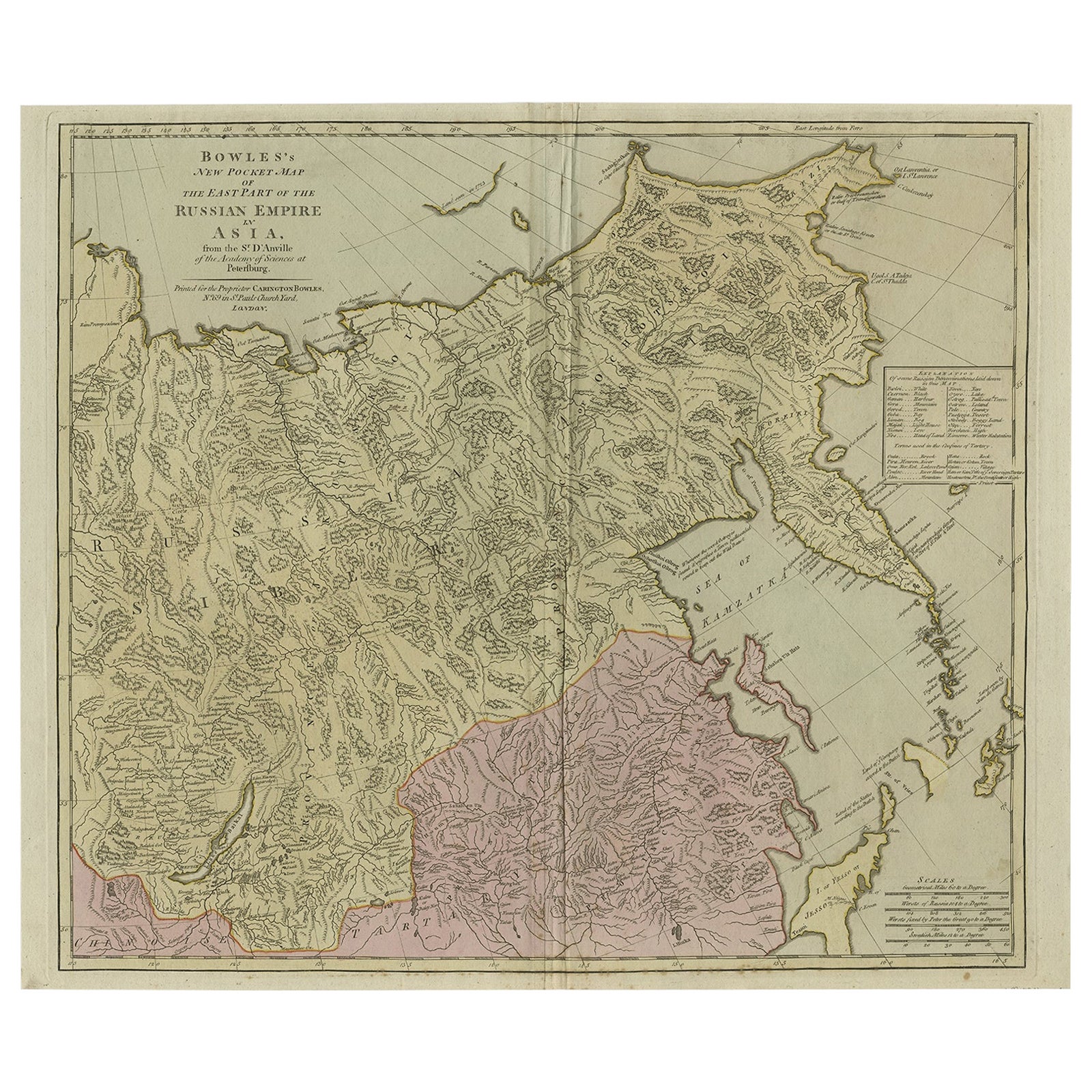
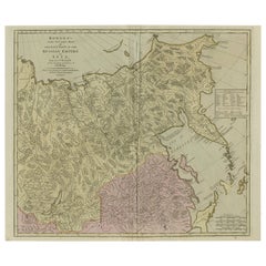
Description: Antique map titled 'Bowles's New Pocket Map of the East Part of the Russian Empire in Asia'. Large and detailed map of the Russian Empire in Asia. Source unknown, to be determined.
Artists and Engravers: Made by 'Thomas & Carington Bowles' after 'D'Anville'. Thomas Bowles, born around 1712, was map publisher and seller in London...
Category
Antique 1780s Maps
Materials
Paper
You May Also Like
Large Original Antique Map of The Bahamas. 1894
Located in St Annes, Lancashire
Superb Antique map of The Bahamas
Published Edward Stanford, Charing Cross, London 1894
Original colour
Good condition
Unframed.
Free shipping
Category
Antique 1890s English Maps
Materials
Paper

Original Antique Map of South America. C.1780
Located in St Annes, Lancashire
Great map of South America
Copper-plate engraving
Published C.1780
Two small worm holes to left side of map
Unframed.
Category
Antique Early 1800s English Georgian Maps
Materials
Paper

Original Antique Map of the American State of Pennsylvania( Eastern Part ), 1903
Located in St Annes, Lancashire
Antique map of Pennsylvania ( Eastern part )
Published By A & C Black. 1903
Original colour
Good condition
Unframed.
Free shipping
Category
Antique Early 1900s English Maps
Materials
Paper

Super Rare Antique French Map of Chine and the Chinese Empire, 1780
Located in Amsterdam, Noord Holland
Super Rare Antique French Map of Chine and the Chinese Empire, 1780
Very nice map of Asia. 1780 Made by Bonne.
Additional information:
Type: Map
...
Category
Antique 18th Century European Maps
Materials
Paper

$584 Sale Price
30% Off
A Brass Equinoctial Dial French 1780ca
Located in Firenze, IT
Shipping policy No additional costs will be added to this order. Shipping costs will be totally covered by the seller (customs duties included).
With hinged gnomon, hour ring and l...
Category
Antique Late 18th Century French Louis XVI Scientific Instruments
Materials
Brass
Antique Town Plan Map, Poole, English, Framed Cartography, Georgian, Circa 1780
Located in Hele, Devon, GB
This is an antique town plan map of Poole in Dorset. An English, framed atlas engraving, dating to the 18th century and later.
Fascinating cartography with annotated streets and pl...
Category
Antique Late 18th Century British George III Maps
Materials
Glass, Wood, Paper

Recently Viewed
View AllMore Ways To Browse
Working Compass
Used Furniture Puerto Rico
Bahamas Furniture
Small Antique Compass
Used Furniture Bahamas
Small Pedestal Tables
Smoked Tempered Glass Table
Spanish Armchair Leather Wood
Sterling Silver Oyster
Swirl Side Table
Swiss Aluminum Chairs
Thick Glass Top Console Table
Thonet Plywood
Tripod Side Table Pair
Used Cloud Couch
Victorian Novelty
Victorian Side Table With Drawers
Vintage Ashtrays 1940s