Items Similar to Detailed Antique Map of Jamaica - Published in Weimar, 1825
Want more images or videos?
Request additional images or videos from the seller
1 of 6
Detailed Antique Map of Jamaica - Published in Weimar, 1825
About the Item
This map of Jamaica is an interesting historical document.
This map is part of an atlas that was issued in six editions in English, French, and German between 1822 and 1827. This one is from a German edition.
The map provides a detailed representation of Jamaica, including its various regions and towns. For its time, it was one of the most detailed maps available commercially. The extensive narrative text surrounding the map offers detailed information about Jamaica's climate, towns, soil, government, and history. This level of detail is valuable for historical and geographical research.
The atlas being published in Weimar is noteworthy because Weimar was a center of cultural and intellectual activity in Germany during this period. Publishing an atlas in Weimar would have potentially given it a certain prestige and connection to the intellectual movements of the time.
Maps from this atlas are increasingly rare in the market, making any surviving copies valuable to collectors and historians.
The combination of detailed geographical information and extensive narrative text, along with the historical context of its publication, makes this map particularly interesting to researchers and collectors. The map not only provides a visual representation of Jamaica as it was known in the early 19th century but also offers insights into how the island was perceived and described by contemporary scholars.
In conclusion, this map from the atlas is a fascinating artifact that offers a rich blend of cartographic detail and historical context, and its publication in Weimar adds an extra layer of cultural significance.
The presence of English city names on the map of Jamaica can be attributed to several historical and practical reasons:
1. **British Colonial Rule**: Jamaica was a British colony from 1655 until its independence in 1962. During this period, English became the dominant language, and British influence permeated all aspects of Jamaican life, including place names. The cities, towns, and other geographical features were named or renamed in English, reflecting British administration and control.
2. **Intended Audience**: Even though the map is in German, the intended audience might have included German-speaking scholars, traders, or individuals with interests in British colonies. Including English place names would make the map more useful and relevant to them, as these were the official and commonly recognized names at the time.
3. **Standardization**: Maps often used the official names for places to ensure clarity and avoid confusion. Since Jamaica was under British rule, the English names were the official designations for the locations on the island.
### Conclusion
The use of English city names on the map of Jamaica in a German atlas reflects the colonial history of Jamaica and the practical need to provide accurate and recognizable information to the map's users. It demonstrates how colonial influence persisted in the documentation and mapping of the region during that period.
Identifying places on this historical map of Jamaica that have since changed names or are no longer in use can be quite fascinating. Here are a few notable examples:
### 1. **Port Royal**
- **Historical Significance**: Once known as the "wickedest city on earth," Port Royal was a notorious pirate haven in the late 17th century.
- **Current Status**: Much of Port Royal sank into the sea after a devastating earthquake in 1692. While the name Port Royal still exists, its prominence and physical structure have changed significantly.
### 2. **Spanish Town (formerly St. Jago de la Vega)**
- **Historical Significance**: Originally the Spanish capital of Jamaica, St. Jago de la Vega was renamed Spanish Town by the British.
- **Current Status**: Spanish Town remains an important historical site, but its prominence as a political center has diminished since Kingston became the capital.
### 3. **Savanna-la-Mar**
- **Historical Significance**: This town was once a significant port and commercial center.
- **Current Status**: Savanna-la-Mar still exists, but it has lost some of its historical significance compared to its past.
### 4. **Falmouth**
- **Historical Significance**: Falmouth was an important port town during the 18th and 19th centuries, known for its trade in sugar and rum.
- **Current Status**: While Falmouth still exists and has historical significance, its role as a major port has changed over time.
### 5. **Martha Brae**
- **Historical Significance**: This was an important town during the 18th century, particularly known for the Martha Brae River.
- **Current Status**: Martha Brae is now more known as a tourist destination for river rafting.
### 6. **Bath**
- **Historical Significance**: Known for its mineral springs, Bath was a prominent spa town in the 18th century.
- **Current Status**: Bath still exists but is less prominent than it was during its peak as a health resort.
### 7. **Moran Bay**
- **Historical Significance**: Site of the famous Morant Bay Rebellion in 1865.
- **Current Status**: Morant Bay remains, but its historical significance is primarily related to the rebellion.
These examples show how place names and their significance can evolve over time due to historical events, changes in political power, and shifts in economic activity.
- Dimensions:Height: 24.41 in (62 cm)Width: 16.93 in (43 cm)Depth: 0 in (0.02 mm)
- Materials and Techniques:Paper,Engraved
- Period:
- Date of Manufacture:1825
- Condition:Condition: good, given age. Fold as published. General strong age-related toning and/or minor defects from handling, mainly around the edges. Please study scan carefully.
- Seller Location:Langweer, NL
- Reference Number:Seller: BG-13744-31stDibs: LU3054340347392
About the Seller
5.0
Recognized Seller
These prestigious sellers are industry leaders and represent the highest echelon for item quality and design.
Platinum Seller
Premium sellers with a 4.7+ rating and 24-hour response times
Established in 2009
1stDibs seller since 2017
2,415 sales on 1stDibs
Typical response time: 1 hour
- ShippingRetrieving quote...Shipping from: Langweer, Netherlands
- Return Policy
Authenticity Guarantee
In the unlikely event there’s an issue with an item’s authenticity, contact us within 1 year for a full refund. DetailsMoney-Back Guarantee
If your item is not as described, is damaged in transit, or does not arrive, contact us within 7 days for a full refund. Details24-Hour Cancellation
You have a 24-hour grace period in which to reconsider your purchase, with no questions asked.Vetted Professional Sellers
Our world-class sellers must adhere to strict standards for service and quality, maintaining the integrity of our listings.Price-Match Guarantee
If you find that a seller listed the same item for a lower price elsewhere, we’ll match it.Trusted Global Delivery
Our best-in-class carrier network provides specialized shipping options worldwide, including custom delivery.More From This Seller
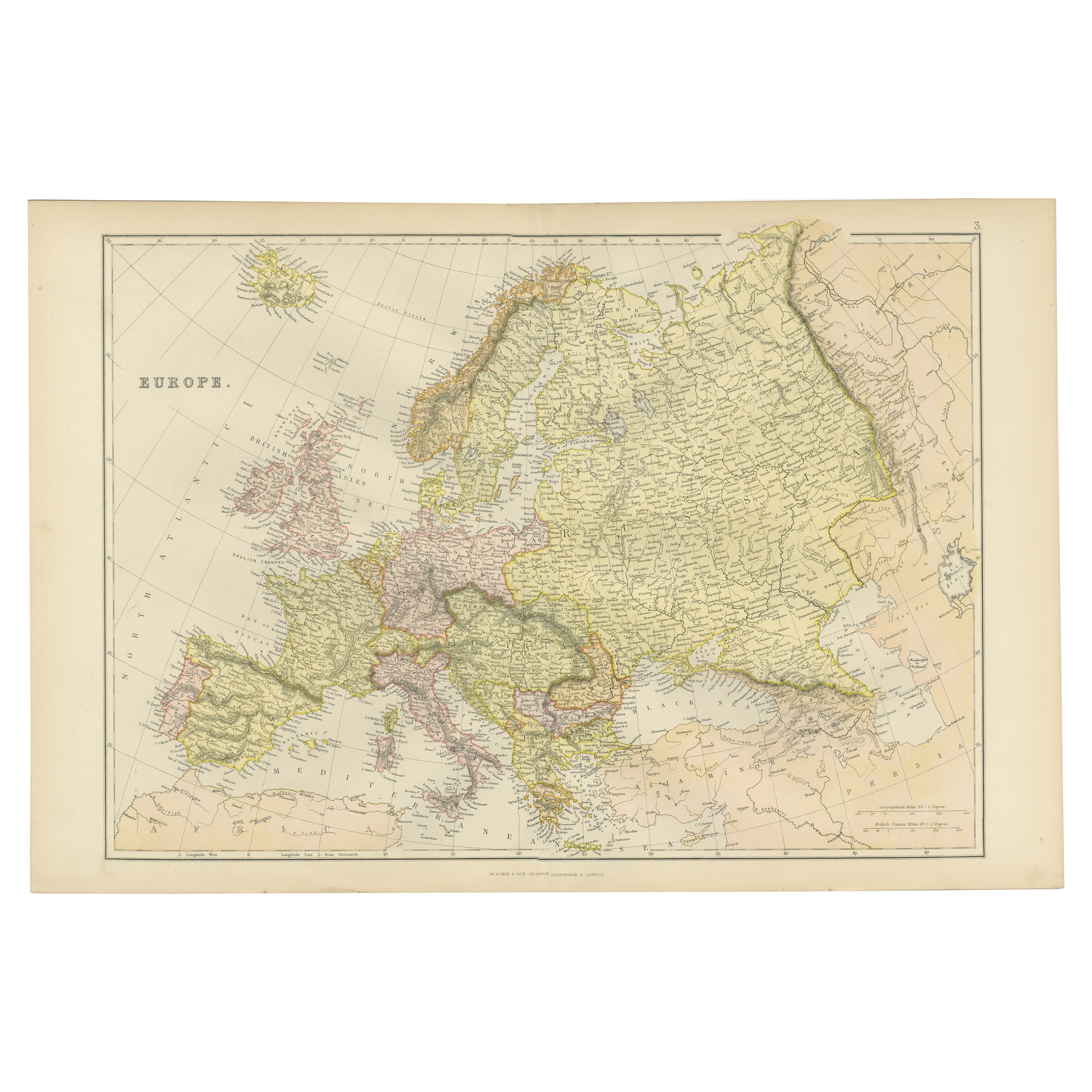
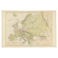
View AllColorful Detailed Antique Map of Europe, Published in 1882
Located in Langweer, NL
"The Antique Map of Europe from 'The Comprehensive Atlas and Geography of the World,' published in 1882 by Blackie & Son, is a testament to meticulous cartography and scholarly preci...
Category
Antique 1880s Maps
Materials
Paper
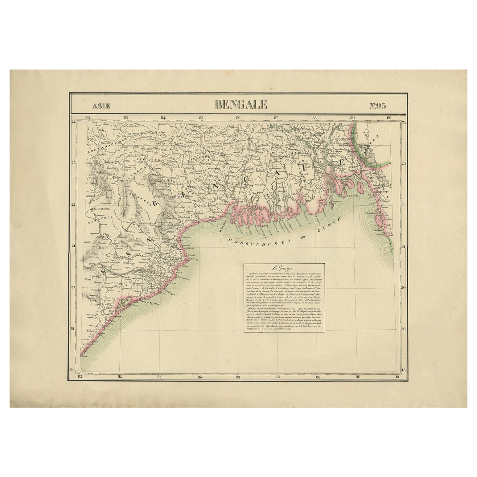
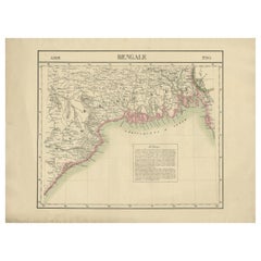
Detailed Orginal Antique Map of Bengal, India, c.1825
Located in Langweer, NL
Antique map titled 'No. 95 Bengale'. Detailed map of Bengal, Bangladesh. With text about the Ganges river. Originates from 'Atlas Universel' by P.M. Vand...
Category
Antique 19th Century Maps
Materials
Paper
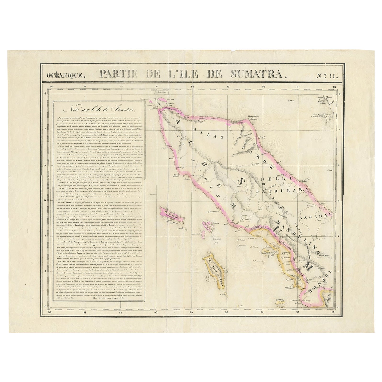
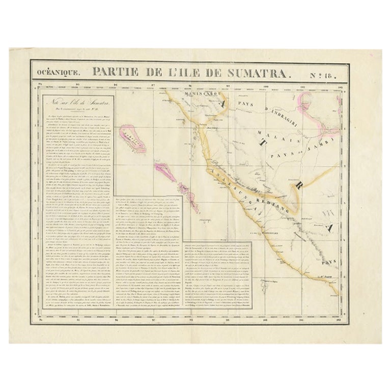
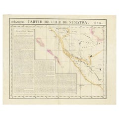
Detailed Antique Map of Northern Sumatra, Indonesia, circa 1825
Located in Langweer, NL
Antique map titled 'Partie de l'Ile de Sumatra'. Chart showing the northern part of Sumatra. Originates from 'Atlas Universel' by P.M. Vandermaelen.
Artists and Engravers: Philip...
Category
Antique 19th Century Maps
Materials
Paper
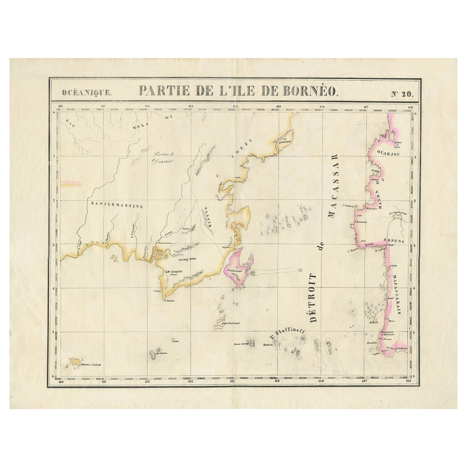
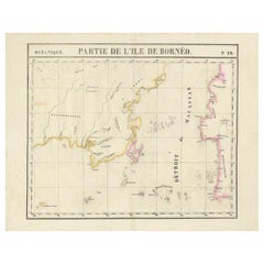
Detailed Antique Map of a Portion of Borneo and Sulawesi in Indonesia, c.1825
Located in Langweer, NL
Antique map titled 'Partie de l'Ile de Bornéo'. Map of a portion of Borneo, primarily the Southern part of the Island, the Strait of Macassar and the Staffinaff Islands. Originates f...
Category
Antique 19th Century Maps
Materials
Paper
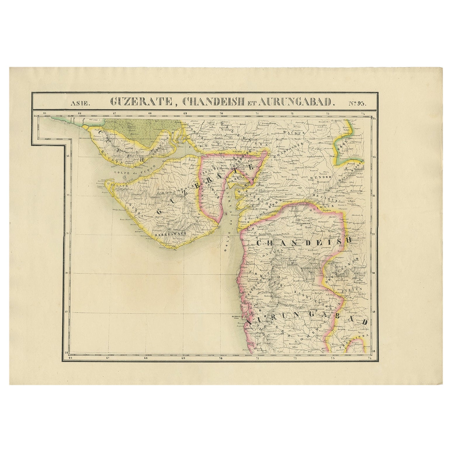
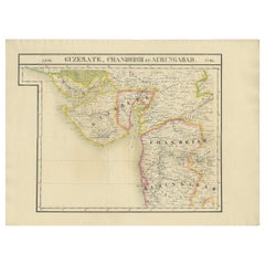
Detailed Antique Map of the Region of Gujarat and Mumbai in India, C.1825
Located in Langweer, NL
Antique map titled 'No. 93 Guzerate, Chandeish et Aurungabad'. Detailed map of the region of Gujarat and the region of Mumbay. Originates from 'Atlas Universel' by P.M. Vandermaelen....
Category
Antique 19th Century Maps
Materials
Paper
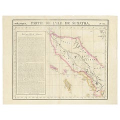
Detailed Antique Map of the Western Sumatra, Indonesia, circa 1825
Located in Langweer, NL
Antique map titled 'Partie de l'Ile de Sumatra'. Chart showing the western part of Sumatra. Originates from 'Atlas Universel' by P.M. Vandermaelen.
Artists and Engravers: Philipp...
Category
Antique 19th Century Maps
Materials
Paper
You May Also Like
Antique Oarsman's Map of the River Thames, English, Cartography, Published 1912
Located in Hele, Devon, GB
This is an antique copy of The Oarsman's and Angler's Map of the River Thames - New Edition. An English, bound map book, published in English by Edward Stanford, London, this new edi...
Category
Early 20th Century British Other Books
Materials
Paper

London 1744 Published Watercolour Antique Map of East Africa by Eman Bowen
Located in West Sussex, Pulborough
We are delighted to offer for sale this New and Accurate Map of Nubia & Abissinia, together with all the Kingdoms Tributary Thereto, and bordering upon them published in 1744 by Emanuel Bowen
This is a decorative antique engraved map of East Africa...
Category
Antique 1740s English George III Maps
Materials
Paper

$1,030 Sale Price
20% Off
Antique Paterson's Guide to Britain, English, Maps, Georgian, Published 1811
Located in Hele, Devon, GB
This is an antique copy of Paterson's New and Accurate guide to Direct & Principal Crossroads. An English, bound book of maps and descriptive tables, published in English by Longman,...
Category
Antique Early 19th Century British Georgian Books
Materials
Paper

1840 Map of the City of Washington Published by William M. Morrison
Located in Colorado Springs, CO
This map, printed in 1840, is a detailed representation of Washington, D.C. in the mid-19th century. The map shows block numbers, wards, and government buildings as well as details o...
Category
Antique 1840s American Federal Maps
Materials
Paper

Antique Map of Principality of Monaco
By Antonio Vallardi Editore
Located in Alessandria, Piemonte
ST/619 - "Old Geographical Atlas of Italy - Topographic map of ex-Principality of Monaco" -
ediz Vallardi - Milano -
A somewhat special edition ---
Category
Antique Late 19th Century Italian Other Prints
Materials
Paper

1842 Wall Map of the United States by J. H. Young, Published by S. A. Mitchell
Located in Colorado Springs, CO
Presented is an 1842 hanging “Map of the United States,” engraved by J. H. Young and published by Samuel Augustus Mitchell, Philadelphia. This is a beautiful example of the rare 1842...
Category
Antique 1840s American Maps
Materials
Paper

Recently Viewed
View AllMore Ways To Browse
Used Furniture Jamaica
German Colonial
Antique Rum
Antique Rummer
Sugar Extra
Iron Scroll Coffee Table
Iron Scroll Console Table
Italian Rattan Stools
Italian Tumbler
Jansen Mirror Table
Japanese Export Silver
Jens Quistgaard For Dansk Teak
Karabagh Kilim
Kartell Four
King Louis Dining Table
Kitchen Furniture Bakelite
Leather Accent Chairs Pair
Library Wall Panels