Items Similar to Antique Map of South America by Reichard, 1820

Want more images or videos?
Request additional images or videos from the seller
1 of 5
Antique Map of South America by Reichard, 1820
About the Item
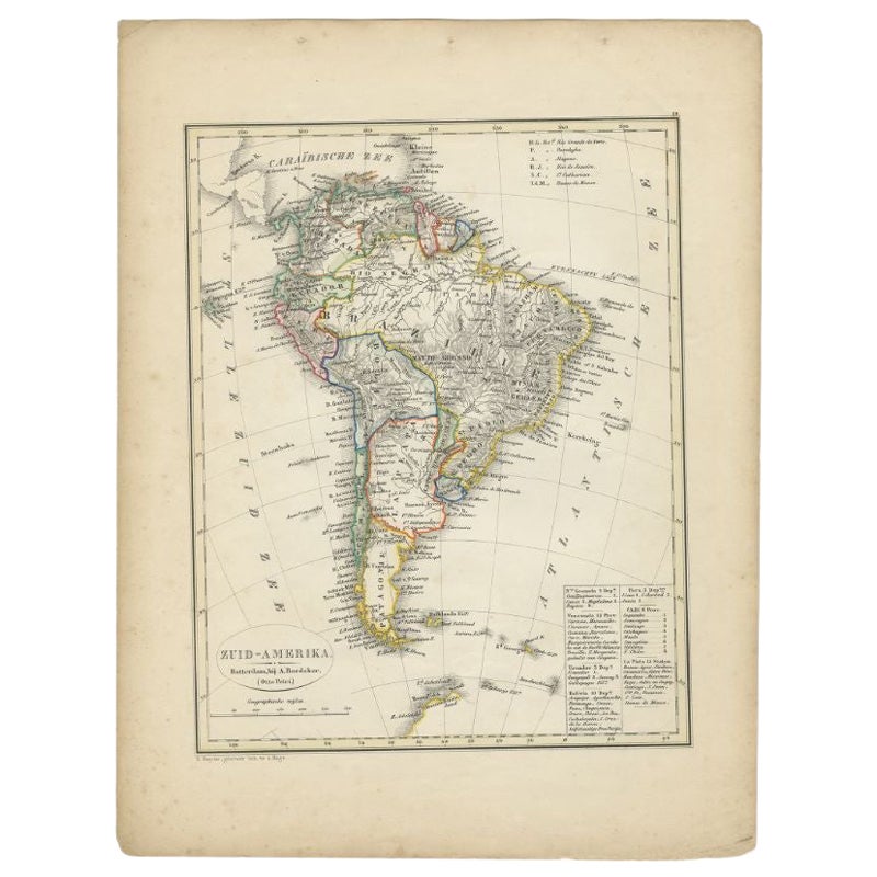
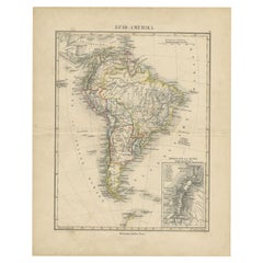
Antique map titled 'Süd America'. Decorative antique map of South America with an inset map of Ecuador. Artists and Engravers: Published by C.G. Reichard.
Artist: Published by C.G. Reichard.
Condition: Good, some toning and minor defects from handling. Please study image carefully.
Date: 1820
Overall size: 32 x 37.5 cm.
Image size: 0.001 x 27.5 x 33 cm.
Antique prints have long been appreciated for both their aesthetic and investment value. They were the product of engraved, etched or lithographed plates. These plates were handmade out of wood or metal, which required an incredible level of skill, patience and craftsmanship. Whether you have a house with Victorian furniture or more contemporary decor an old engraving can enhance your living space. We offer a wide range of authentic antique prints for any budget.
- Creator:Thomas Kitchin (Author)
- Dimensions:Height: 14.77 in (37.5 cm)Width: 12.6 in (32 cm)Depth: 0 in (0.01 mm)
- Materials and Techniques:
- Period:
- Date of Manufacture:1820
- Condition:
- Seller Location:Langweer, NL
- Reference Number:Seller: BG-094561stDibs: LU3054327622132
About the Seller
5.0
Recognized Seller
These prestigious sellers are industry leaders and represent the highest echelon for item quality and design.
Platinum Seller
Premium sellers with a 4.7+ rating and 24-hour response times
Established in 2009
1stDibs seller since 2017
2,417 sales on 1stDibs
Typical response time: <1 hour
- ShippingRetrieving quote...Shipping from: Langweer, Netherlands
- Return Policy
Authenticity Guarantee
In the unlikely event there’s an issue with an item’s authenticity, contact us within 1 year for a full refund. DetailsMoney-Back Guarantee
If your item is not as described, is damaged in transit, or does not arrive, contact us within 7 days for a full refund. Details24-Hour Cancellation
You have a 24-hour grace period in which to reconsider your purchase, with no questions asked.Vetted Professional Sellers
Our world-class sellers must adhere to strict standards for service and quality, maintaining the integrity of our listings.Price-Match Guarantee
If you find that a seller listed the same item for a lower price elsewhere, we’ll match it.Trusted Global Delivery
Our best-in-class carrier network provides specialized shipping options worldwide, including custom delivery.More From This Seller
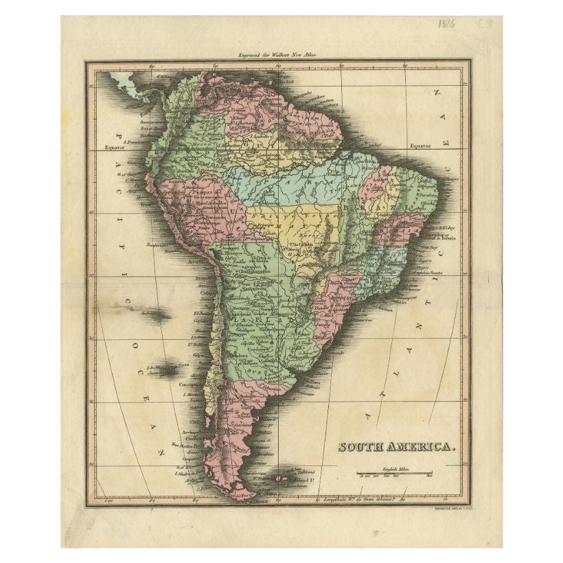
View AllAntique Map of South America by Walker, 1816
By Thomas Kitchin
Located in Langweer, NL
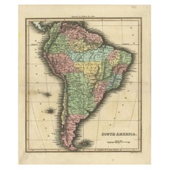
Antique map titled 'South America'. Old map of South America. This map originates from 'Walker's Universal Atlas'. Artists and Engravers: Printed by Barnard and Farley.
Artist: Pr...
Category
Antique 19th Century Maps
Materials
Paper
Antique Map of South America by Tirion, c.1765
By Thomas Kitchin
Located in Langweer, NL
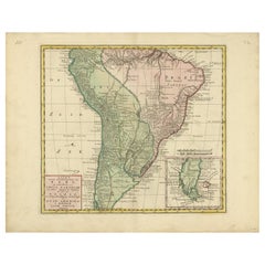
Antique map titled 'Kaart van het Onderkoningschap van Peru zig uitstrekkende: over Chile, Paraguay en andere Spaansche Landen als ook van Brazil en verdere Bezittingen van Portugal ...
Category
Antique 18th Century Maps
Materials
Paper
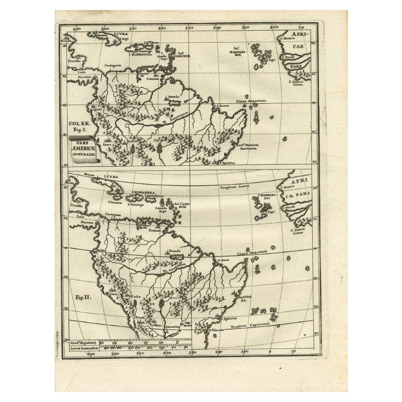
Antique Map of South America by Scherer, c.1700
By Thomas Kitchin
Located in Langweer, NL
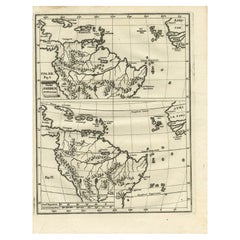
Antique map of part of South America. Two maps on a single sheet, each depicting nearly the same area. On close examination there are slight differences in the rivers, lakes and moun...
Category
Antique 18th Century Maps
Materials
Paper
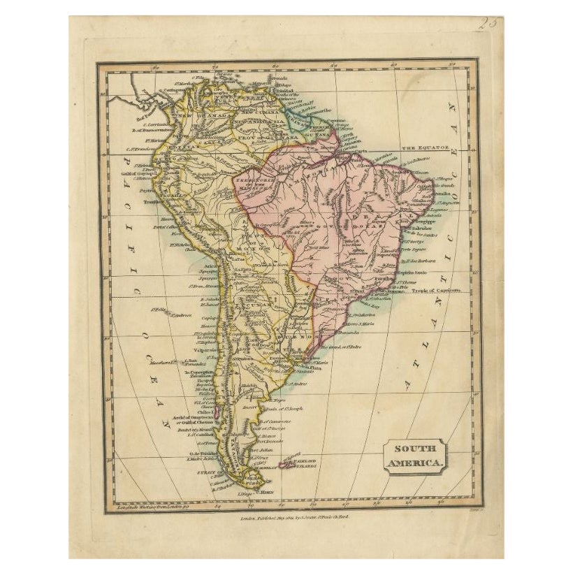
Antique Map of South America by Tyrer, 1821
By Thomas Kitchin
Located in Langweer, NL
Antique map titled 'South America'. Beautiful antique map of South America engraved by Tyrer. Artists and Engravers: Published by J. Soute...
Category
Antique 19th Century Maps
Materials
Paper

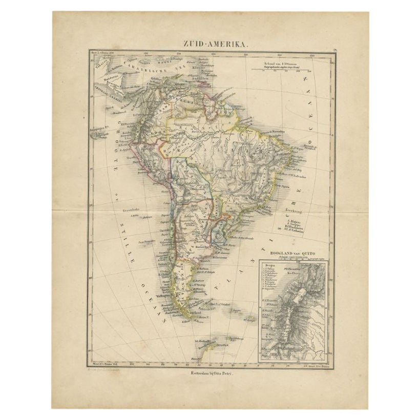
Antique Map of South America by Petri, c.1873
By Thomas Kitchin
Located in Langweer, NL
Antique map titled 'Zuid-Amerika'. Old map depicting South America, with an inset map of the highland of Quito. This map originates from 'School-Atlas van alle Deelen der Aarde'. Art...
Category
Antique 19th Century Maps
Materials
Paper
Antique Map of South America by Petri, 1852
By Thomas Kitchin
Located in Langweer, NL
Antique map titled 'Zuid-Amerika'. Map of South America. This map originates from 'School-Atlas van alle deelen der Aarde' by Otto Petri. Artists and Engrav...
Category
Antique 19th Century Maps
Materials
Paper
You May Also Like
Original Antique Map of South Africa, Arrowsmith, 1820
Located in St Annes, Lancashire
Great map of South Africa.
Drawn under the direction of Arrowsmith.
Copper-plate engraving.
Published by Longman, Hurst, Rees, Orme and Br...
Category
Antique 1820s English Maps
Materials
Paper

Original Antique Map of South America. C.1780
Located in St Annes, Lancashire
Great map of South America
Copper-plate engraving
Published C.1780
Two small worm holes to left side of map
Unframed.
Category
Antique Early 1800s English Georgian Maps
Materials
Paper

Original Antique Map of Central America / Florida, Arrowsmith, 1820
Located in St Annes, Lancashire
Great map of Central America.
Drawn under the direction of Arrowsmith.
Copper-plate engraving.
Published by Longman, Hurst, Rees, Orme and Brown, 1820
Unframed.
Category
Antique 1820s English Maps
Materials
Paper

Original Antique Map of the American State of South Carolina, 1903
Located in St Annes, Lancashire
Antique map of South Carolina
Published By A & C Black. 1903
Original colour
Good condition
Unframed.
Free shipping
Category
Antique Early 1900s English Maps
Materials
Paper

Original Antique Map of the American State of South Dakota, 1903
Located in St Annes, Lancashire
Antique map of South Dakota
Published By A & C Black. 1903
Original colour
Good condition
Unframed.
Free shipping
Category
Antique Early 1900s English Maps
Materials
Paper

Original Antique Decorative Map of South America-West Coast, Fullarton, C.1870
Located in St Annes, Lancashire
Great map of Chili, Peru and part of Bolivia
Wonderful figural border
From the celebrated Royal Illustrated Atlas
Lithograph. Original color.
Published by Fullarton, Edi...
Category
Antique 1870s Scottish Maps
Materials
Paper

Recently Viewed
View AllMore Ways To Browse
Pair Of Travertine Side Table
Paul Mccobb Walnut Table
Peacock Plate
Pedestal Centre Table
Pigeon Table
Pink Bench
Porcelain Dinner Set For 12
Rattan Chairs Square
Rattan Coffee Table French
Rectangular White Oak Coffee Table
Regency Style Italian Side Tables
Renaissance Majolica
Retro Vanity Chairs
Round Marble Garden Table
Round Stone Console Table
Round Stone Garden Tables
Rug Remnants
Scandanavian Danish Jewelry