Items Similar to Antique Map of the Alsace Region of France by Janssonius, c.1650

Want more images or videos?
Request additional images or videos from the seller
1 of 5
Antique Map of the Alsace Region of France by Janssonius, c.1650
About the Item
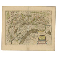
Antique map titled 'Utriusquae Alsatiae Superioris Ac Inferioris Nova Tabula'. Map of the Alsace region (France) including the Rhine from Phillipsburg to south of Basle. Two decorative cartouches and two coats of arms. Artists and Engravers: Johannes Janssonius (Jansson), ( 1588- 1664) Amsterdam was born in Arnhem, the son of Jan Janszoon the Elder,a publisher and bookseller.
Artist: Johannes Janssonius (Jansson), ( 1588- 1664) Amsterdam was born in Arnhem, the son of Jan Janszoon the Elder,a publisher and bookseller.
Condition: Fair, age-related toning. Tear at both lower left and right corner, some smaller marginal tears. Original, contemporary hand coloring. Dutch text on verso. Please study image carefully.
Date: c.1650
Overall size: 59 x 50 cm.
Image size: 0.001 x 54.5 x 39 cm.
Antique prints have long been appreciated for both their aesthetic and investment value. They were the product of engraved, etched or lithographed plates. These plates were handmade out of wood or metal, which required an incredible level of skill, patience and craftsmanship. Whether you have a house with Victorian furniture or more contemporary decor an old engraving can enhance your living space. We offer a wide range of authentic antique prints for any budget.
- Dimensions:Height: 19.69 in (50 cm)Width: 23.23 in (59 cm)Depth: 0 in (0.01 mm)
- Materials and Techniques:
- Period:
- Date of Manufacture:circa 1650
- Condition:
- Seller Location:Langweer, NL
- Reference Number:Seller: BG-112571stDibs: LU3054327771512
About the Seller
5.0
Recognized Seller
These prestigious sellers are industry leaders and represent the highest echelon for item quality and design.
Platinum Seller
Premium sellers with a 4.7+ rating and 24-hour response times
Established in 2009
1stDibs seller since 2017
2,415 sales on 1stDibs
Typical response time: 1 hour
- ShippingRetrieving quote...Shipping from: Langweer, Netherlands
- Return Policy
Authenticity Guarantee
In the unlikely event there’s an issue with an item’s authenticity, contact us within 1 year for a full refund. DetailsMoney-Back Guarantee
If your item is not as described, is damaged in transit, or does not arrive, contact us within 7 days for a full refund. Details24-Hour Cancellation
You have a 24-hour grace period in which to reconsider your purchase, with no questions asked.Vetted Professional Sellers
Our world-class sellers must adhere to strict standards for service and quality, maintaining the integrity of our listings.Price-Match Guarantee
If you find that a seller listed the same item for a lower price elsewhere, we’ll match it.Trusted Global Delivery
Our best-in-class carrier network provides specialized shipping options worldwide, including custom delivery.More From This Seller
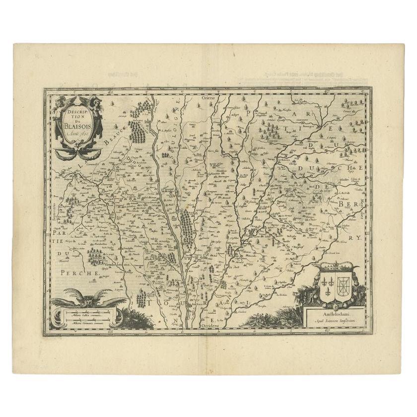
View AllAntique Map of the Region of Blois by Janssonius, c.1650
Located in Langweer, NL
Antique map titled 'Description du Blaisois'. Old map of the region of Blois, France. It shows the city of Blois, Amboise, the Loire River and more.
Artists and Engravers: Johann...
Category
Antique 17th Century Maps
Materials
Paper

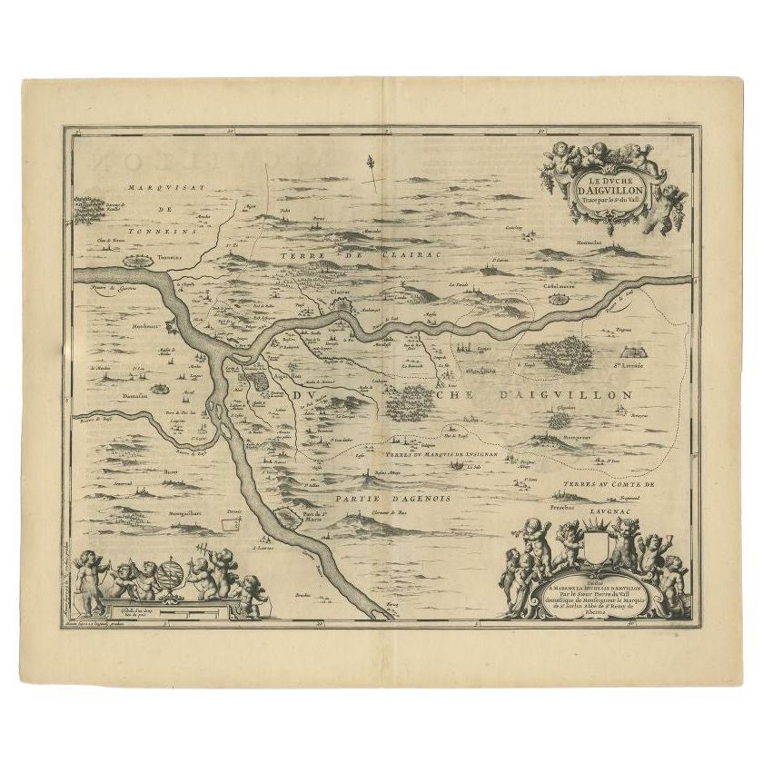
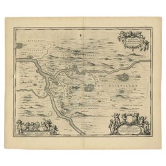
Antique Map of the Region of Aiguillon by Janssonius, c.1650
Located in Langweer, NL
Antique map titled 'Le Duche d'Aiguillon'. Beautiful map of the Aiguillon region of France. It shows the region between the Lot and Garonne rivers.
Artists and Engravers: Johanne...
Category
Antique 17th Century Maps
Materials
Paper
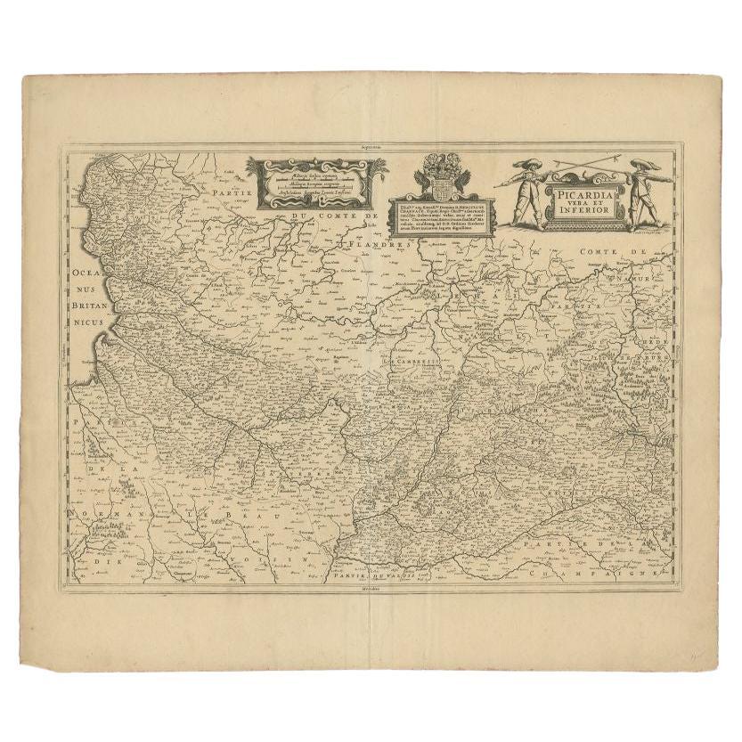
Antique Map of the Region of Picardy by Janssonius 'c.1650'
By Johannes Janssonius
Located in Langweer, NL
Antique map of France titled 'Picardia vera et inferior'. Detailed map of the Picardy region of France. Shows the cities of Calais, Abbeville, St. Quentin, Rethel and others.
Ar...
Category
Antique 17th Century Maps
Materials
Paper

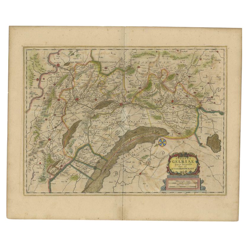
Antique Map of the Region of Roermond by Janssonius, c.1650
By Johannes Janssonius
Located in Langweer, NL
Antique map titled 'Ducatus Gelriae'. Map of the region around Roermond, the Netherlands. This map includes the cities of Gennep, Goch, Venlo, Roermond, Maaseik, Weert, Wachtendonk a...
Category
Antique 17th Century Maps
Materials
Paper
Antique Map of the Vermandois Region by Janssonius, circa 1650
By Johannes Janssonius
Located in Langweer, NL
Antique map titled 'Vermandois'. Old map of the Vermandois region, France. Vermandois was a French County that appeared in the Merovingian period. Its na...
Category
Antique Mid-17th Century Maps
Materials
Paper

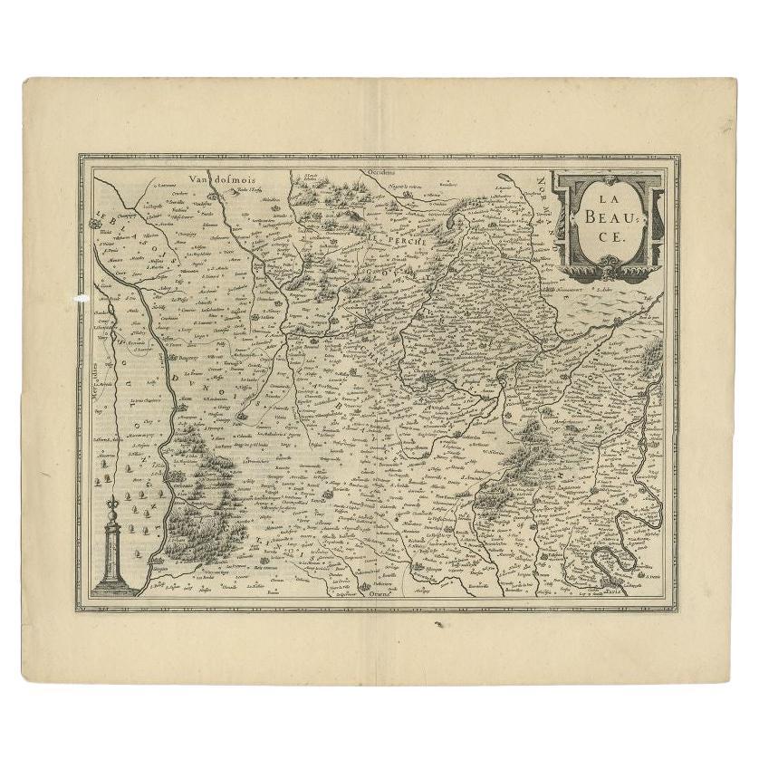
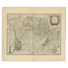
Antique Map of the Region of Beauce in France by Janssonius, c.1650
Located in Langweer, NL
Antique map of France titled 'La Beauce'. Decorative map of the region of Beauce, a natural region in northern France, located between the Seine and Loire ri...
Category
Antique 17th Century Maps
Materials
Paper
You May Also Like
17th Century Hand-Colored Map of a Region in West Germany by Janssonius
By Johannes Janssonius
Located in Alamo, CA
This attractive highly detailed 17th century original hand-colored map is entitled "Archiepiscopatus Maghdeburgensis et Anhaltinus Ducatus cum terris adjacentibus". It was published ...
Category
Antique Mid-17th Century Dutch Maps
Materials
Paper

Antique County Map, Buckinghamshire, Bedfordshire, Dutch, Framed, Janssonius
Located in Hele, Devon, GB
This is an antique county map of Buckinghamshire and Bedfordshire. A Dutch, framed atlas engraving by Johannes Janssonius, dating to the 17th century and later.
A treat for the col...
Category
Antique Mid-17th Century Dutch Maps
Materials
Paper

Antique County Map of Cheshire, Dutch, Framed, Cartography, Janssonius, C.1660
Located in Hele, Devon, GB
This is an antique county map of Cheshire. A Dutch, framed atlas engraving by Johannes Janssonius, dating to the 17th century and later.
A treat for the collector or county native,...
Category
Antique Mid-17th Century Dutch Charles II Maps
Materials
Glass, Wood, Paper

1594 Maurice Bouguereau Map of the Region Limoges, France, Ric0015
Located in Norton, MA
1594 Maurice Bouguereau map of the region Limoges, France, entitled
"Totivs Lemovici et Confinium Pro Uinciarum Quantum ad Dioecefin Lemo Uicenfen Fpectant,"
Hand Colored
Ric0015
Jean IV Le Clerc...
Category
Antique 16th Century Dutch Maps
Materials
Paper

The Normandy Region of France: A 17th C. Hand-colored Map by Sanson and Jaillot
By Nicolas Sanson
Located in Alamo, CA
This large hand-colored map entitled "Le Duché et Gouvernement de Normandie divisée en Haute et Basse Normandie en divers Pays; et par evêchez, avec le Gouvernement General du Havre ...
Category
Antique 1690s French Maps
Materials
Paper

1657 Janssonius Map of Vermandois and Cappelle, Ric. A-004
Located in Norton, MA
1657 Janssonius map of
Vermandois and Cappelle
Ric.a004
Description: Antique map of France titled 'Descriptio Veromanduorum - Gouvernement de la Cappelle'. Two detailed maps o...
Category
Antique 17th Century Unknown Maps
Materials
Paper

Recently Viewed
View AllMore Ways To Browse
Alsace Furniture
Victorian Holland And Son
Teak Wood Bench Andrianna
Tiger Skin Rug
Timber Benches
Transitional Closet
Used Versace
Velvet Arm Chairs
Velvet Chairs With Ottoman
Velvet Dining Chair Set Set Of 6
Velvet Dining Chair Sets Of 6
Vikram Goyal
Vintage Brown Glass Jar
Vintage Cafe Chair
Vintage Oak School Chair
Vintage Router Table
Vintage Turkmenistan Rug
Vintage Wooden Coat Rack Stand