Items Similar to Antique Lithography Map, Isle of Thanet, Kent, English, Cartography, Victorian


Want more images or videos?
Request additional images or videos from the seller
1 of 13
Antique Lithography Map, Isle of Thanet, Kent, English, Cartography, Victorian
About the Item
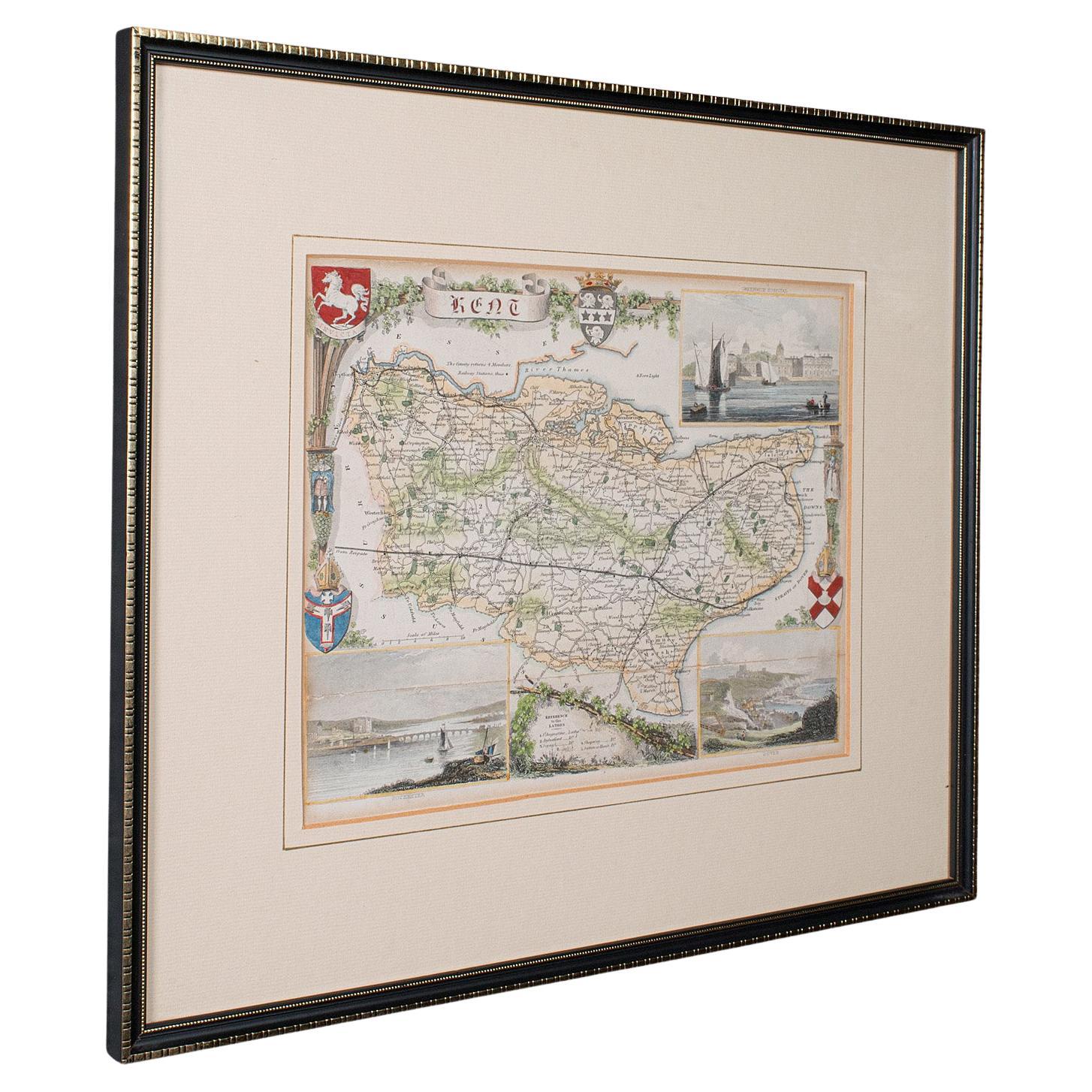
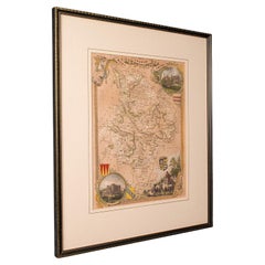
This is an antique lithography map of The Isle of Thanet in Kent. An English, framed atlas engraving of cartographic interest, dating to the mid 19th century and later.
Superb lithography of the region comprising the easternmost part of Kent
Displaying a desirable aged patina and in very good order
Fascinating cartography, appealingly set within a quality, later frame
Latin inscription to the title scroll a reference to its Roman history as Tanatus
Appealing illustrations of landmarks and town emblems add further display appeal
Dressed to the rear with hanging cord for ease of mounting
This is a quality antique lithography map of The Isle of Thanet, with fine cartographic interest. Delivered ready to display.
Dimensions:
Max Width: 41cm (16.25'')
Max Depth: 1.5cm (.5'')
Max Height: 37cm (14.5'')
Map Width: 26.5cm (10.5'')
Map Height: 21cm (8.25'')
- Dimensions:Height: 14.57 in (37 cm)Width: 16.15 in (41 cm)Depth: 0.6 in (1.5 cm)
- Style:Victorian (Of the Period)
- Materials and Techniques:
- Place of Origin:
- Period:
- Date of Manufacture:circa 1850
- Condition:Wear consistent with age and use. Presented in very good antique condition.
- Seller Location:Hele, Devon, GB
- Reference Number:Seller: 18.99821stDibs: LU2645338636272
About the Seller
5.0
Platinum Seller
Premium sellers with a 4.7+ rating and 24-hour response times
Established in 2005
1stDibs seller since 2017
981 sales on 1stDibs
Typical response time: 1 hour
- ShippingRetrieving quote...Shipping from: Hele, Devon, United Kingdom
- Return Policy
Authenticity Guarantee
In the unlikely event there’s an issue with an item’s authenticity, contact us within 1 year for a full refund. DetailsMoney-Back Guarantee
If your item is not as described, is damaged in transit, or does not arrive, contact us within 7 days for a full refund. Details24-Hour Cancellation
You have a 24-hour grace period in which to reconsider your purchase, with no questions asked.Vetted Professional Sellers
Our world-class sellers must adhere to strict standards for service and quality, maintaining the integrity of our listings.Price-Match Guarantee
If you find that a seller listed the same item for a lower price elsewhere, we’ll match it.Trusted Global Delivery
Our best-in-class carrier network provides specialized shipping options worldwide, including custom delivery.More From This Seller
View AllAntique County Map, Kent, English, Framed, Lithography, Cartography, Victorian
Located in Hele, Devon, GB
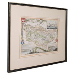
This is an antique lithography map of Kent. An English, framed atlas engraving of cartographic interest, dating to the mid 19th century and later.
Superb lithography of Kent and it...
Category
Antique Mid-19th Century British Victorian Maps
Materials
Paper
Antique Lithography Map, Derbyshire, English, Framed Cartography, Victorian
Located in Hele, Devon, GB
This is an antique lithography map of Derbyshire. An English, framed atlas engraving of cartographic interest, dating to the mid 19th century and later.
Superb lithography of Derby...
Category
Antique Mid-19th Century British Victorian Maps
Materials
Glass, Wood, Paper

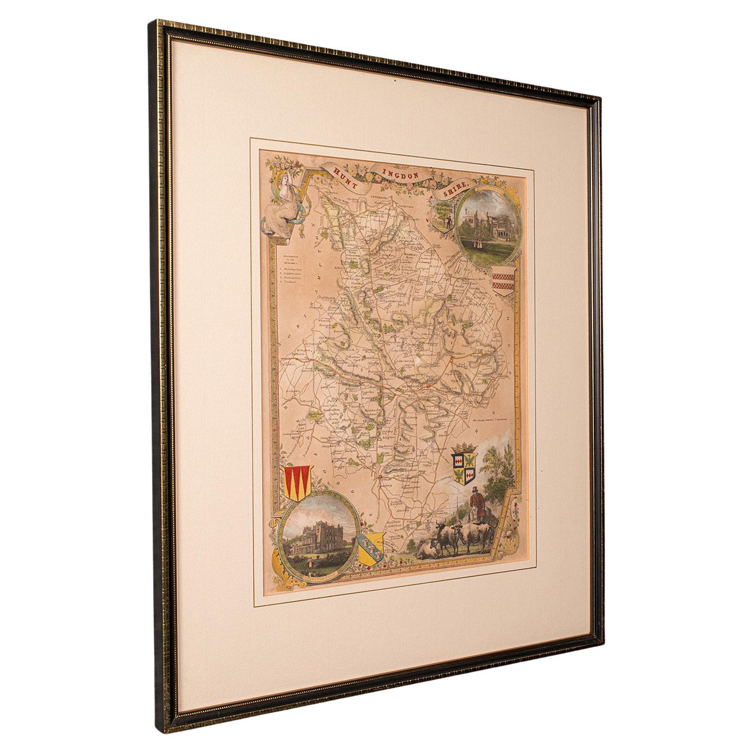
Antique Lithography Map, Huntingdonshire, English, Framed Cartography, Victorian
Located in Hele, Devon, GB
This is an antique lithography map of Huntingdonshire. An English, framed atlas engraving of cartographic interest, dating to the mid 19th century and later.
Superb lithography of ...
Category
Antique Mid-19th Century British Victorian Maps
Materials
Glass, Wood, Paper
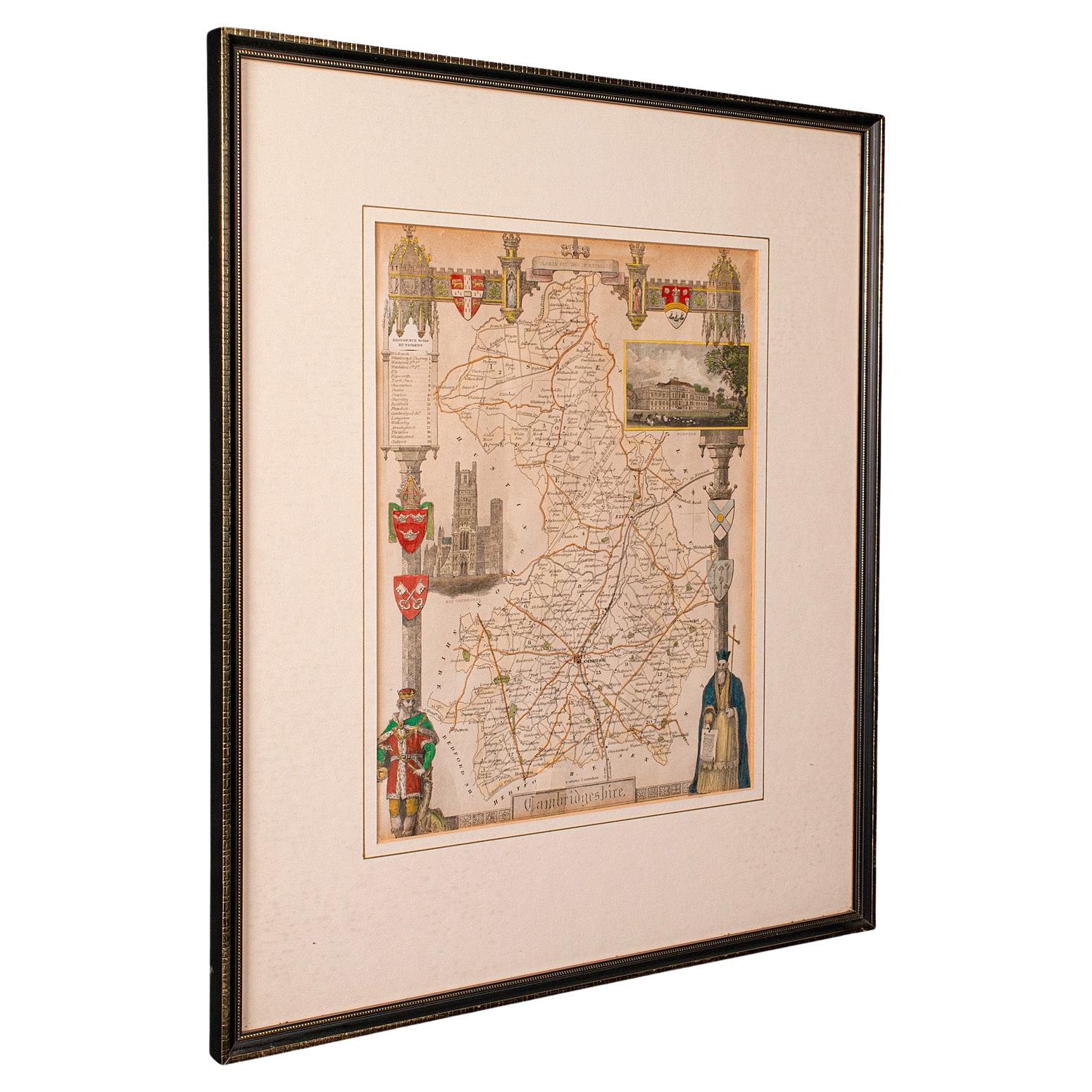
Antique Lithography Map, Cambridgeshire, English, Framed Cartography, Victorian
Located in Hele, Devon, GB
This is an antique lithography map of Cambridgeshire. An English, framed atlas engraving of cartographic interest, dating to the mid 19th century and later.
Superb lithography of C...
Category
Antique Mid-19th Century British Victorian Maps
Materials
Glass, Wood, Paper
Antique Lithography Map, Cumberland, English, Framed, Cartography, Victorian
Located in Hele, Devon, GB
This is an antique lithography map of Cumberland. An English, framed atlas engraving of cartographic interest, dating to the mid 19th century and la...
Category
Antique Mid-19th Century British Victorian Maps
Materials
Wood

Antique Lithography Map, Westmoreland, English, Framed, Cartography, Victorian
Located in Hele, Devon, GB
This is an antique lithography map of Westmoreland. An English, framed atlas engraving of cartographic interest, dating to the mid 19th century and later.
Superb lithography of the ...
Category
Antique Mid-19th Century British Victorian Maps
Materials
Wood
You May Also Like
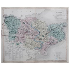
Original Antique English County Map, Kent. J & C Walker, 1851
Located in St Annes, Lancashire
Great map of Kent
Original colour
By J & C Walker
Published by Longman, Rees, Orme, Brown & Co. 1851
Unframed.
Category
Antique 1850s English Other Maps
Materials
Paper
Exquisite 1850s Vintage Map of North America: A Victorian Cartographic Treasure
Located in Langweer, NL
Ornate 19th-Century Map of North America by J. Rapkin, Published by J & F Tallis
This stunning 19th-century map of North America, created by renowned cartographer J. Rapkin and ...
Category
Antique 1850s Maps
Materials
Paper

Cartographic Tapestry: Antique Map of Asia Minor, circa 1640
Located in Langweer, NL
Title: "Historical Tapestry: Antique Map of Asia Minor, circa 1640"
Description:
This authentic antique map, created by Willem Blaeu and published in Amsterdam circa 1640, is a capt...
Category
Antique Mid-17th Century Maps
Materials
Paper

$889 Sale Price
30% Off
Antique Map of the British Isles by Balbi '1847'
Located in Langweer, NL
Antique map titled 'Iles Britanniques'. Original antique map of the British Isles. This map originates from 'Abrégé de Géographie (..)' by Adrien Balbi. ...
Category
Antique Mid-19th Century Maps
Materials
Paper

Antique Map of the British Isles by Johnston '1909'
Located in Langweer, NL
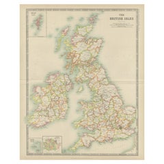
Antique map titled 'The British Isles'. Original antique map of the British Isles. With inset maps of the Shetland Islands, Chanel Islands, and London. T...
Category
Early 20th Century Maps
Materials
Paper
Antique Map of the British Isles by Delamarche, 1806
Located in Langweer, NL
Antique map titled 'Les Isles Britanniques.' Decorative map of the British Isles by Robert de Vaugondy, revised and published by Delamarche. Source unkno...
Category
Antique 19th Century Maps
Materials
Paper

Recently Viewed
View AllMore Ways To Browse
Antique Framed Engravings Set
Antique Dress 1850
Scroll Map
Belgian Stone Top Tables
Bench Loveseat
Black French Desk Leather Top
Brass Gallery Tray
British Raj
Brown Corduroy Furniture
Brown Herman Miller Desk Chair
Bunching Tables
Canterbury Magazine Stand
Cardboard Armchair
Ceramic Organic Side Table
Charles Hollis Jones Lucite Coffee Table
Coffee Table French 1930s
Coffee Table Iron 1970
Coppia Poltrone