Items Similar to Antique Lithography Map, Environs of Southampton, English, Framed, Victorian


Want more images or videos?
Request additional images or videos from the seller
1 of 13
Antique Lithography Map, Environs of Southampton, English, Framed, Victorian
About the Item
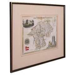
This is an antique lithography map 'The Environs of Southampton'. An English, framed town engraving of cartographic interest by John James Dower, dating to the Victorian period and later.
Superb lithography of Southampton and its town detail, perfect for display
Displaying a desirable aged patina and in very good order
Fascinating cartography, appealingly set within a quality, later frame
Undated, however the cartographer John James Dower lived between 1825 and 1901
Accentuated with appealing colour, with settlements in red and woodlands in green
Dressed to the rear with hanging cord for ease of mounting
This is a desirable antique lithography map of Southampton, with fine cartographic interest of the city. Delivered ready to display.
Dimensions:
Max Width: 29cm (11.5'')
Max Depth: 1.5cm (.5'')
Max Height: 35.5cm (14'')
Map Width: 14cm (5.5'')
Map Height: 19.5cm (7.75'')
- Dimensions:Height: 13.98 in (35.5 cm)Width: 11.42 in (29 cm)Depth: 0.6 in (1.5 cm)
- Style:Victorian (Of the Period)
- Materials and Techniques:
- Place of Origin:
- Period:
- Date of Manufacture:circa 1880
- Condition:Wear consistent with age and use. Presented in very good antique condition.
- Seller Location:Hele, Devon, GB
- Reference Number:Seller: 244391stDibs: LU2645340177132
About the Seller
5.0
Platinum Seller
Premium sellers with a 4.7+ rating and 24-hour response times
Established in 2005
1stDibs seller since 2017
981 sales on 1stDibs
Typical response time: 1 hour
- ShippingRetrieving quote...Shipping from: Hele, Devon, United Kingdom
- Return Policy
Authenticity Guarantee
In the unlikely event there’s an issue with an item’s authenticity, contact us within 1 year for a full refund. DetailsMoney-Back Guarantee
If your item is not as described, is damaged in transit, or does not arrive, contact us within 7 days for a full refund. Details24-Hour Cancellation
You have a 24-hour grace period in which to reconsider your purchase, with no questions asked.Vetted Professional Sellers
Our world-class sellers must adhere to strict standards for service and quality, maintaining the integrity of our listings.Price-Match Guarantee
If you find that a seller listed the same item for a lower price elsewhere, we’ll match it.Trusted Global Delivery
Our best-in-class carrier network provides specialized shipping options worldwide, including custom delivery.More From This Seller
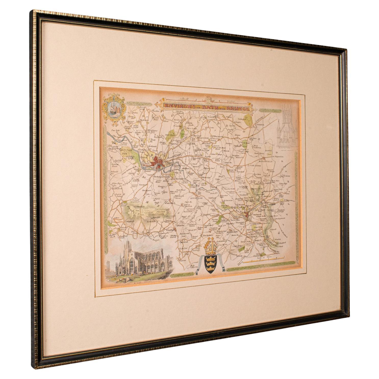
View AllAntique Environs of Bath & Bristol Map, English, Framed Cartography, Victorian
Located in Hele, Devon, GB
This is an antique region map of Bath and Bristol. An English, framed atlas engraving of cartographic interest, dating to the mid 19th century and later.
Superb lithography of Bath...
Category
Antique Mid-19th Century British Victorian Maps
Materials
Glass, Wood, Paper
Antique Lithography Map, Cumberland, English, Framed, Cartography, Victorian
Located in Hele, Devon, GB
This is an antique lithography map of Cumberland. An English, framed atlas engraving of cartographic interest, dating to the mid 19th century and la...
Category
Antique Mid-19th Century British Victorian Maps
Materials
Wood

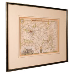
Antique Lithography Map, Westmoreland, English, Framed, Cartography, Victorian
Located in Hele, Devon, GB
This is an antique lithography map of Westmoreland. An English, framed atlas engraving of cartographic interest, dating to the mid 19th century and later.
Superb lithography of the ...
Category
Antique Mid-19th Century British Victorian Maps
Materials
Wood
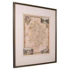
Antique Lithography Map, Buckinghamshire, English, Framed Cartography, Victorian
Located in Hele, Devon, GB
This is an antique lithography map of Buckinghamshire. An English, framed atlas engraving of cartographic interest, dating to the mid 19th century and later.
Superb lithography of B...
Category
Antique Mid-19th Century British Victorian Maps
Materials
Wood, Paper

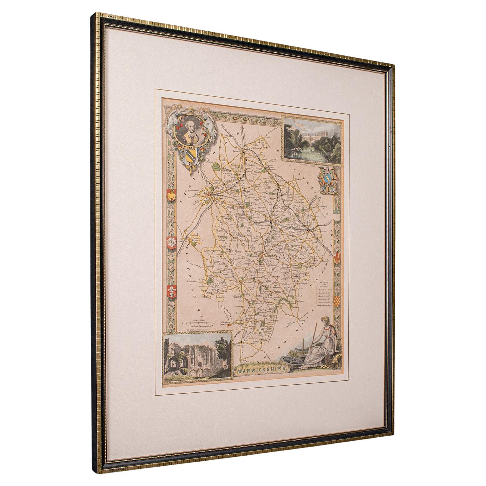
Antique Lithography Map, Warwickshire, English, Framed, Cartography, Victorian
Located in Hele, Devon, GB
This is an antique lithography map of Warwickshire. An English, framed atlas engraving of cartographic interest, dating to the mid 19th century and later.
Superb lithography of War...
Category
Antique Mid-19th Century British Victorian Maps
Materials
Glass, Wood, Paper
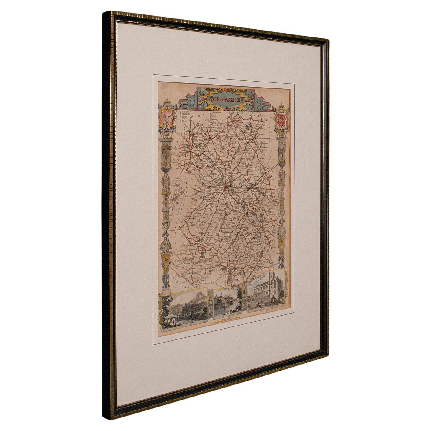
Antique Lithography Map, Shropshire, English, Framed, Cartography, Victorian
Located in Hele, Devon, GB
This is an antique lithography map of Shropshire. An English, framed atlas engraving of cartographic interest, dating to the mid 19th century and later.
Superb lithography of Shrop...
Category
Antique Mid-19th Century British Victorian Maps
Materials
Wood

You May Also Like
Antique Map of Paris, "Carte Routiere des Environs de Paris" 1841
Located in Colorado Springs, CO
This beautiful hand-colored road map of Paris was published in 1841. The map shows Paris and the surrounding area in a folding pocket map. Organized and detailed for travelers, this ...
Category
Antique 1840s French Maps
Materials
Paper

Large Original Antique Map of The Environs of Dublin, Ireland, circa 1880
Located in St Annes, Lancashire
Great map of The Environs of Dublin
Published circa 1880
Unframed
Free shipping.
Category
Antique 1880s Scottish Maps
Materials
Paper

Large Original Antique Map of the Environs of Cork, Ireland, circa 1880
Located in St Annes, Lancashire
Great map of The Environs of Cork
Published circa 1880
Unframed
Free shipping.
Category
Antique 1880s Scottish Maps
Materials
Paper

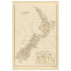
1882 Original Antique Map of New Zealand with Inset of Auckland's Environs
Located in Langweer, NL
This 1882 map of New Zealand, published by Blackie and Son as part of the 'Comprehensive Atlas and Geography of the World,' provides a detailed representation of the North Island and...
Category
Antique 1880s Maps
Materials
Paper
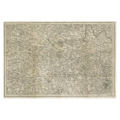
Rare Detailed Antique Map of Prague and Its North West Environs, ca.1760
Located in Langweer, NL
Description: original antique map of the environs of North West Prague. This map originates from the 'Gentlemans Magazine'. Published circa 1760.
Artists and Engravers: Engraved ...
Category
Antique 1760s Maps
Materials
Paper
$415 Sale Price
20% Off
Framed Map of China
Located in Greenwich, CT
Map of China, 19th century. European print map of China
Conservation frame with walnut frame
Overall dimension : 28 1/2" wide 31" high 2" depth with fra...
Category
Antique 19th Century European Qing Prints
Materials
Paper

$3,800
Recently Viewed
View AllMore Ways To Browse
Antique Framed Engravings Set
Fabric Patterned Bench
Floating Console Table
Floral Pitchers
Frank Lloyd Wright Copper
Freight Elevator
French Colonial Table
French Dining Chairs Louis Xv
Glass Cylindrical Side Tables
Gold Moroccan Caftan
Golden Oak Chairs
Hammered Spoon
Hans Egg
Hat Rack Umbrella Stand
Henriot Quimper France
Imperial Silver Gilt
In The Style Of Nakashima Furniture
In The Style Of Nakashima