Items Similar to 1882 Map of Queensland, New South Wales, and Victoria with Detailed Features

Want more images or videos?
Request additional images or videos from the seller
1 of 8
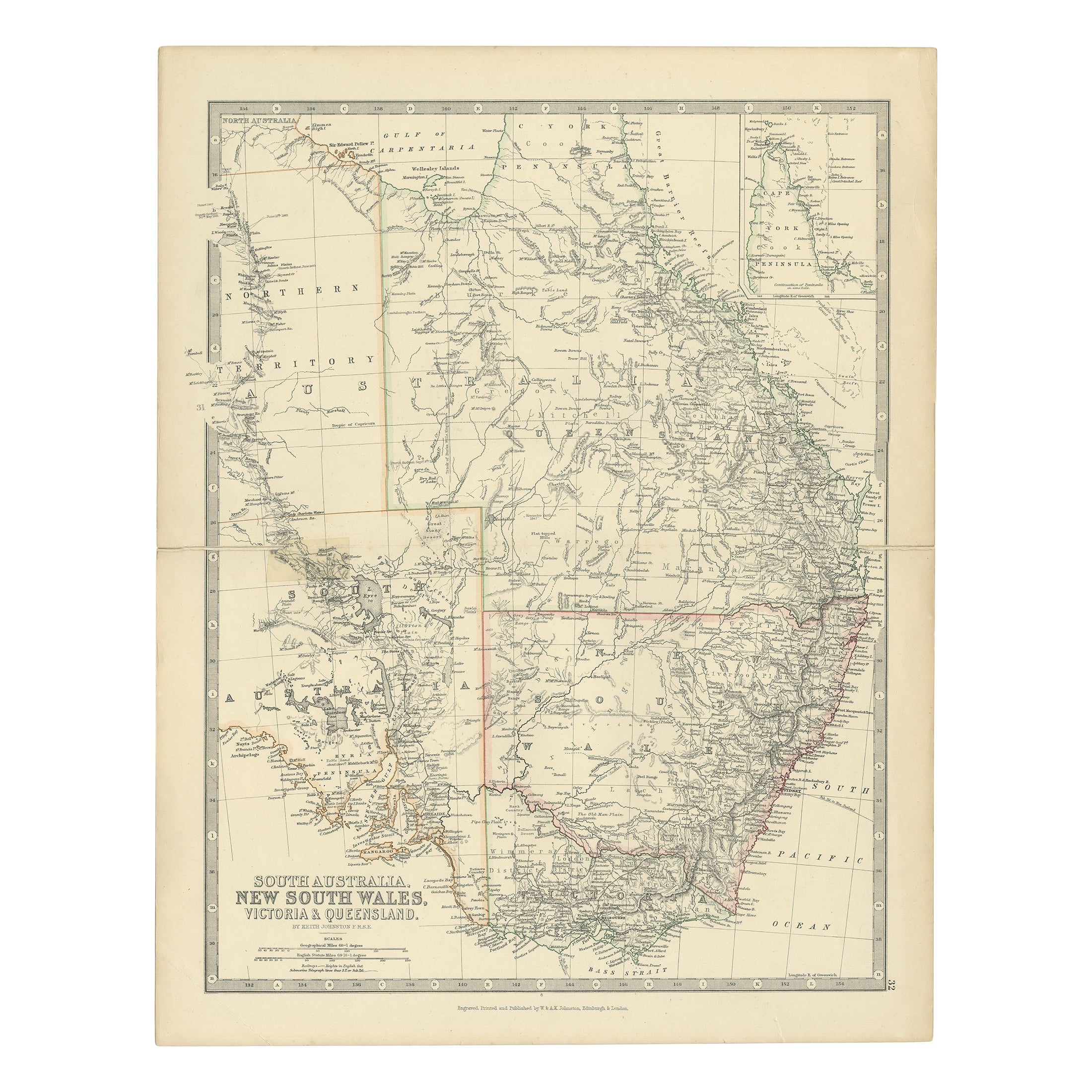
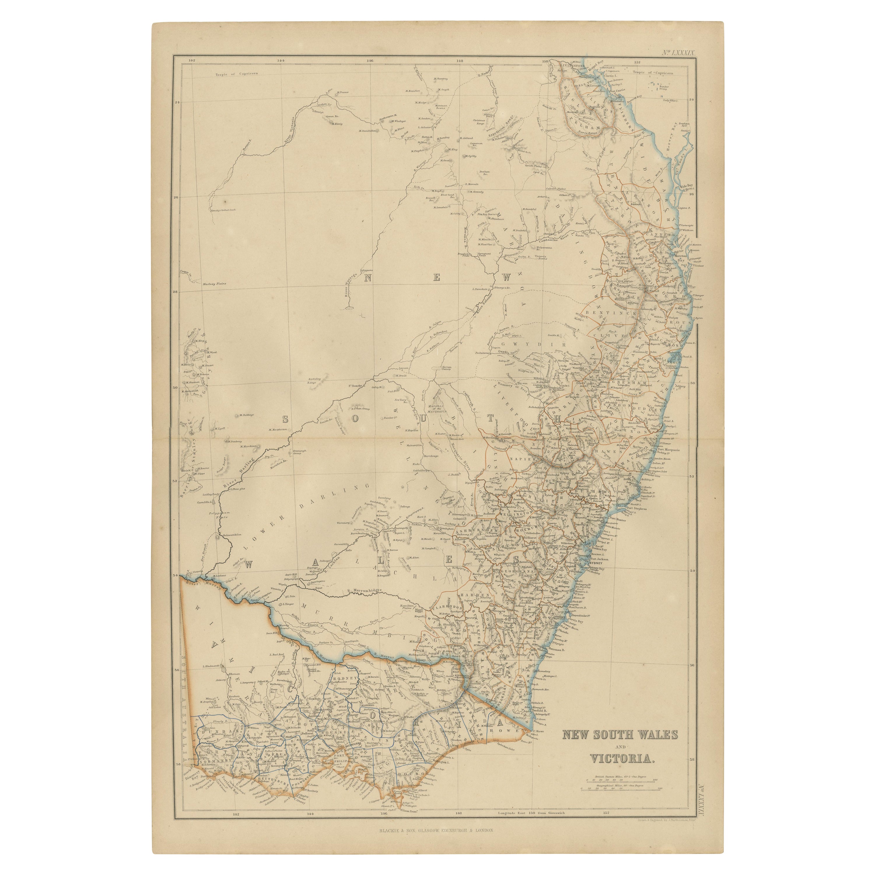
1882 Map of Queensland, New South Wales, and Victoria with Detailed Features
About the Item
This 1882 map of Queensland, New South Wales, and Victoria, published by Blackie and Son as part of the 'Comprehensive Atlas and Geography of the World,' provides a detailed depiction of Australia's southeastern regions. It captures the geographical and political divisions of the time, showcasing the states' boundaries, major cities, towns, and transportation routes. The map highlights Queensland's expansive northern territories, the populous coastal areas of New South Wales, and the growing infrastructure in Victoria.
Topographical features are rendered with remarkable detail, including mountain ranges, rivers, and deserts. The Great Dividing Range is prominently displayed, stretching along the eastern coastline, while significant rivers such as the Darling and Murray are also included. The intricate network of settlements and transport routes reflects the rapid development of the region during the late 19th century. The map's soft pastel coloring is used to differentiate the territories, enhancing its aesthetic appeal while maintaining clarity.
Condition report: The map is in good condition, with minor signs of age-related toning and light spotting. The engraving remains sharp, and the coloring is well-preserved, with no visible tears or repairs.
Framing tips: Choose a classic wooden frame in a natural or antique finish, such as walnut or dark oak, to complement the historical character of the map. Use a double mat with an inner cream or off-white color and an outer mat in light green or beige to enhance the map's subtle tones. Opt for UV-protective, anti-reflective glass to preserve the map’s condition and ensure its longevity as a display piece.
- Dimensions:Height: 22.45 in (57 cm)Width: 15.36 in (39 cm)Depth: 0 in (0.02 mm)
- Materials and Techniques:
- Period:
- Date of Manufacture:1882
- Condition:Condition report: The map is in good condition with minimal edge wear. Slight toning and occasional spotting are present, consistent with its age. The engraving remains sharp, and the colors are well-preserved. Fold line in middle, as issued.
- Seller Location:Langweer, NL
- Reference Number:Seller: BG-13601-2-741stDibs: LU3054343552772
About the Seller
5.0
Recognized Seller
These prestigious sellers are industry leaders and represent the highest echelon for item quality and design.
Platinum Seller
Premium sellers with a 4.7+ rating and 24-hour response times
Established in 2009
1stDibs seller since 2017
2,412 sales on 1stDibs
Typical response time: 1 hour
- ShippingRetrieving quote...Shipping from: Langweer, Netherlands
- Return Policy
Authenticity Guarantee
In the unlikely event there’s an issue with an item’s authenticity, contact us within 1 year for a full refund. DetailsMoney-Back Guarantee
If your item is not as described, is damaged in transit, or does not arrive, contact us within 7 days for a full refund. Details24-Hour Cancellation
You have a 24-hour grace period in which to reconsider your purchase, with no questions asked.Vetted Professional Sellers
Our world-class sellers must adhere to strict standards for service and quality, maintaining the integrity of our listings.Price-Match Guarantee
If you find that a seller listed the same item for a lower price elsewhere, we’ll match it.Trusted Global Delivery
Our best-in-class carrier network provides specialized shipping options worldwide, including custom delivery.More From This Seller
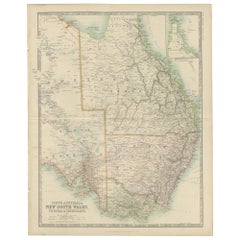
View AllAntique Detailed Map of New South Wales, Queensland & Victoria, Australia, 1865
Located in Langweer, NL
Antique map Australia titled 'South Australia, New South Wales, Victoria & Queensland'. Old map depicting South Australia including New South Wal...
Category
Antique 19th Century Maps
Materials
Paper
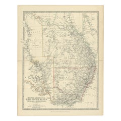
Antique Map of South Australia, Victoria, Queensland and New South Wales, c.1860
Located in Langweer, NL
Antique map Australia titled 'South Australia, New South Wales, Victoria & Queensland'. Old map depicting South Australia including New South Wal...
Category
Antique 19th Century Maps
Materials
Paper
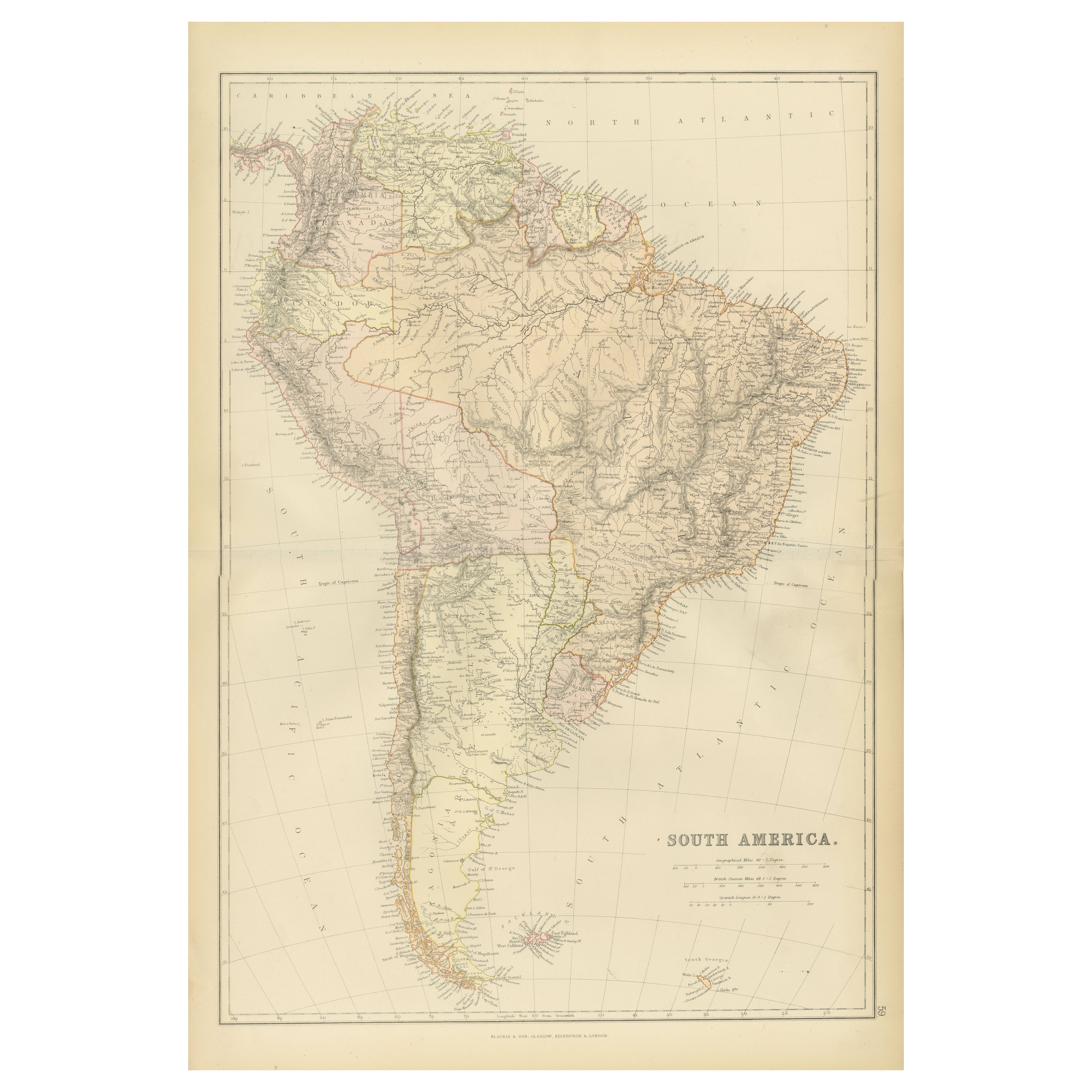
1882 Detailed Map of South America showing Political and Geographical Features
Located in Langweer, NL
This 1882 map of South America, published by Blackie and Son as part of the 'Comprehensive Atlas and Geography of the World,' showcases the continent in remarkable detail. It provide...
Category
Antique 1880s Maps
Materials
Paper

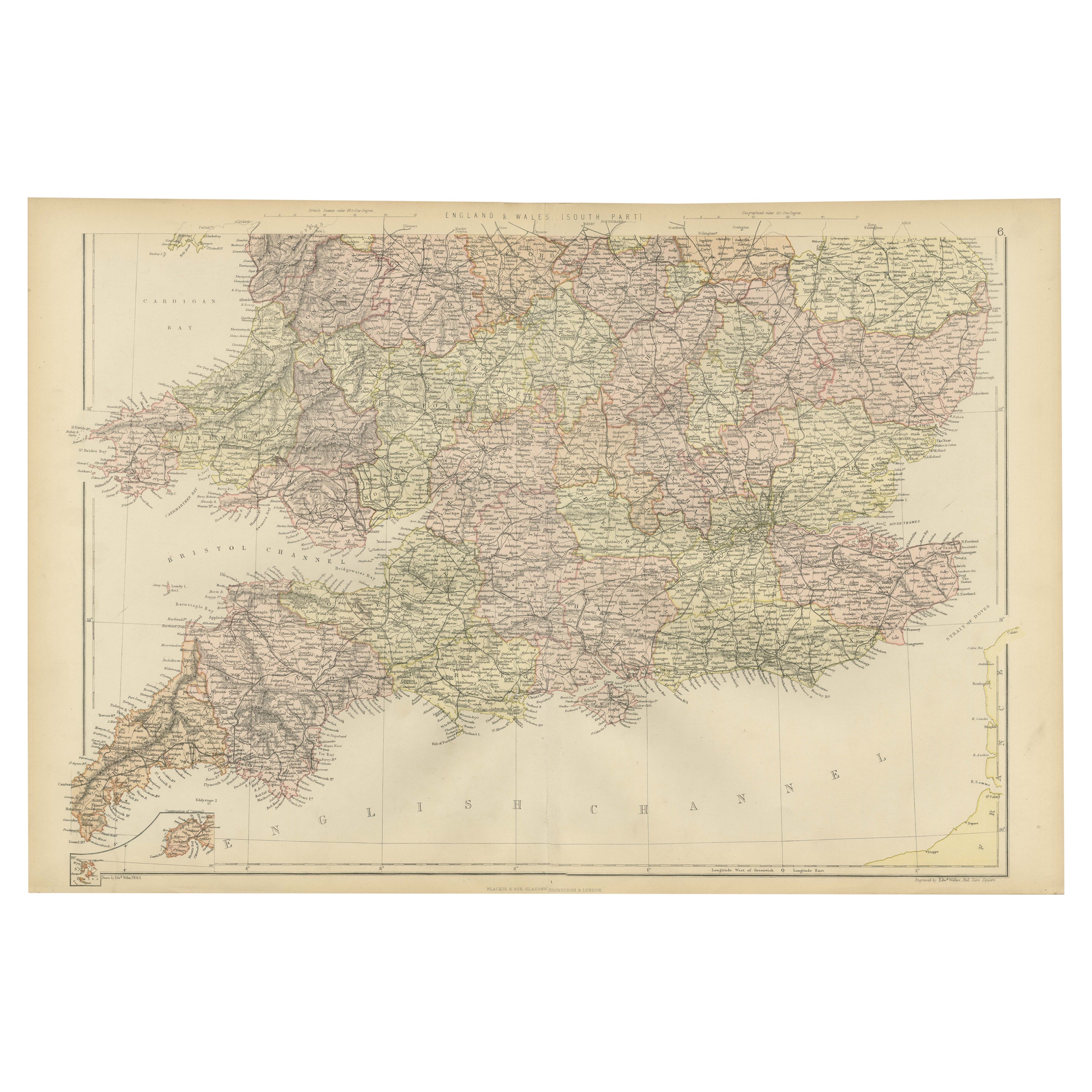
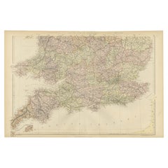
Colorful Detailed Antique Map of England and Wales (South Part), 1882
Located in Langweer, NL
Embark on a Journey Through the Southern Part of 'England and Wales' with this Exquisite Antique Map! This map provides a vivid portrayal of the captivating landscapes and cultural h...
Category
Antique 1880s Maps
Materials
Paper
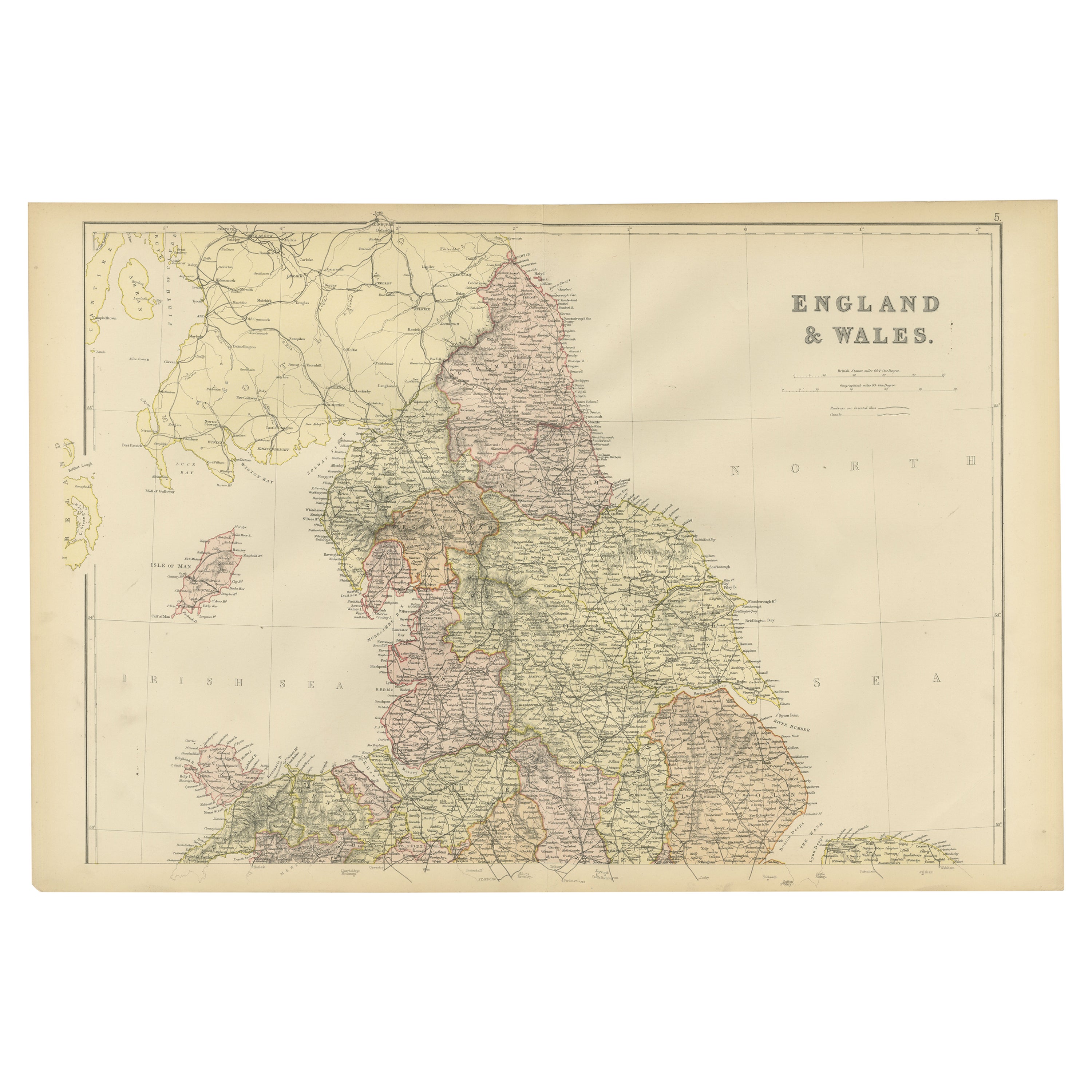
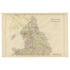
Colorful Detailed Antique Map of England and Wales, 1882
Located in Langweer, NL
Explore the Historic Splendor of 'England and Wales' with this Antique Map! Part of a distinguished collection, this map presents a captivating view of the enchanting landscapes, cit...
Category
Antique 1880s Maps
Materials
Paper
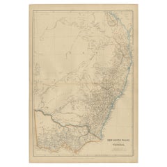
Antique Map of New South Wales and Victoria by W. G. Blackie, 1859
Located in Langweer, NL
Antique map titled 'New South Wales and Victoria'. Original antique map of New South Wales and Victoria. This map originates from ‘The Imperial Atlas of Modern Geography’. Published ...
Category
Antique Mid-19th Century Maps
Materials
Paper
You May Also Like
Map North Wales Robert Marsden Anglesey
Located in BUNGAY, SUFFOLK
Map of North Wales by Robert Marsden
Including Anglesey
Charming topography and detail and colouring
just purchased more information to follow.
Category
Antique 18th Century English Georgian Maps
Materials
Paper

Large Original Vintage Map of New Zealand, South Island, circa 1920
Located in St Annes, Lancashire
Great map of South Island, New Zealand
Original color.
Good condition / repair to a minor tear on right edge
Published by Alexander Gross
Unframed.
Category
Vintage 1920s English Edwardian Maps
Materials
Paper

Original Antique Map of South America. C.1780
Located in St Annes, Lancashire
Great map of South America
Copper-plate engraving
Published C.1780
Two small worm holes to left side of map
Unframed.
Category
Antique Early 1800s English Georgian Maps
Materials
Paper

1840 "New Map of the City of New York With Part of Brooklyn & Williamsburg"
Located in Colorado Springs, CO
Presented is a hand-colored, engraved folding map titled "New Map of the City of New York With Part of Brooklyn & Williamsburg" by J. Calvin Smith. The map was issued bound in the bo...
Category
Antique 1840s American Maps
Materials
Paper

Original Antique Map of South Africa, Arrowsmith, 1820
Located in St Annes, Lancashire
Great map of South Africa.
Drawn under the direction of Arrowsmith.
Copper-plate engraving.
Published by Longman, Hurst, Rees, Orme and Br...
Category
Antique 1820s English Maps
Materials
Paper

Large Original Vintage Map of South Africa, circa 1920
Located in St Annes, Lancashire
Great map of South Africa
Original color.
Good condition / repair to a minor edge tear middle bottom
Published by Alexander Gross
Unframed.
...
Category
Vintage 1920s English Edwardian Maps
Materials
Paper

Recently Viewed
View AllMore Ways To Browse
Used Victoria Antiques
French Coffee Bowl
French Salon Sofa
Fruit Knife
Furniture By Donghia
Genuine Sheepskin
German Colored Crystal Glass
Gilt Wall Sculpture Large
Glass Berry Bowl
Glass Mosaic Tile Wall Art
Hammock Designs
Hand Blown Glass Tumbler
Hand Blown Tumblers
Hand Painted Sugar Bowl
Industrial Sofa Three Seater
Jeanneret Cane Armchair
Joe Colombo Leather Chair
Kilim Armchairs