Map Of Yorkshire
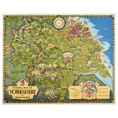
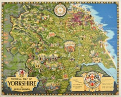
Original Vintage Poster Pictorial Map Of Yorkshire British Railways Train Travel
Located in London, GB
Original vintage train travel poster - Pictorial Map of Yorkshire by British Railways - featuring a
Category
Vintage 1950s British Posters
Materials
Paper
H 40.16 in W 49.61 in D 0.04 in
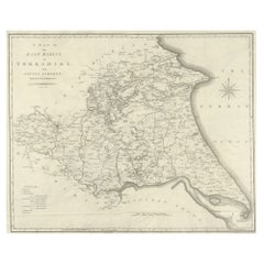
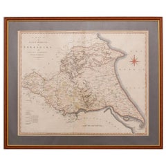
Large Antique County Map of the East Riding of Yorkshire, England
Located in Langweer, NL
Antique map titled 'A Map of the East Riding of Yorkshire from the best Authorities'. Original old
Category
Antique Early 19th Century Maps
Materials
Paper
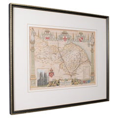
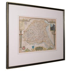
Antique North Yorkshire Map, English, Framed Lithography, Cartography, Victorian
Located in Hele, Devon, GB
This is an antique lithography map of North Yorkshire. An English, framed atlas engraving of
Category
Antique Mid-19th Century British Victorian Maps
Materials
Paper
H 13.39 in W 15.95 in D 0.6 in
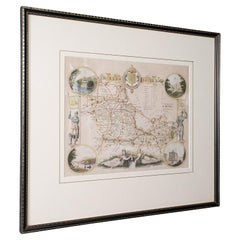
Antique West Yorkshire Map, English, Framed Lithography, Cartography, Victorian
Located in Hele, Devon, GB
This is an antique lithography map of West Yorkshire. An English, framed atlas engraving of
Category
Antique Mid-19th Century British Victorian Maps
Materials
Paper
H 13.59 in W 15.75 in D 8.47 in
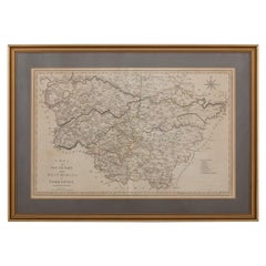
Antique East Yorkshire Map, English, Framed Lithograph, Cartography, Victorian
Located in Hele, Devon, GB
This is an antique lithography map of East Yorkshire. An English, framed atlas engraving of
Category
Antique Mid-19th Century British Victorian Maps
Materials
Paper
H 13.98 in W 16.15 in D 0.6 in
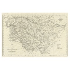
Large Antique County Map of the West Riding of Yorkshire 'South Part', England
Located in Langweer, NL
Antique map titled 'A Map of the South Part of the West Riding of Yorkshire from the best
Category
Antique Early 19th Century Maps
Materials
Paper
H 16.46 in W 21.66 in D 0.02 in
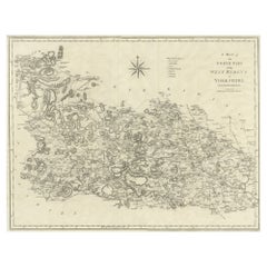
Large Antique County Map of the West Riding of Yorkshire 'North Part', England
Located in Langweer, NL
Antique map titled 'A Map of the North Part of the West Riding of Yorkshire from the best
Category
Antique Early 19th Century Maps
Materials
Paper
H 16.54 in W 21.38 in D 0.02 in
19th Century John Cary Map of South Part of West Riding of Yorkshire, circa 1805
By John Cary
Located in Royal Tunbridge Wells, Kent
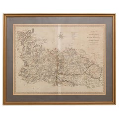
Antique 19th century British original John Cary sr (1755-1835) map of South part of the West Riding
Category
Antique 19th Century British Maps
Materials
Paper
H 18.12 in W 25.6 in D 0.4 in
19th Century John Cary Map of North Part of West Riding of Yorkshire, C.1805
By John Cary
Located in Royal Tunbridge Wells, Kent
Antique 19th century British original John Cary sr (1755-1835) map of North part of the West Riding
Category
Antique 19th Century British Maps
Materials
Paper
H 21.26 in W 26.19 in D 0.79 in
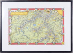
A Map of the Colne Valley Cloth District, West Yorkshire by Max Gill
Located in London, GB
To see our other original maps, scroll down to "More from this Seller" and below it click on "See
Category
1940s Prints and Multiples
Materials
Lithograph
Recent Sales
Original Vintage Poster Pictorial Map Of Yorkshire British Railways Train Travel
By E.H. Spencer
Located in London, GB
Original vintage train travel poster - Pictorial Map of Yorkshire by British Railways - featuring a
Category
1950s More Prints
Materials
Paper
19th Century John Cary Map of the East Riding of Yorkshire, C.1800
By John Cary
Located in Royal Tunbridge Wells, Kent
Antique 19th century British original John Cary sr (1755-1835) map of the East Riding of Yorkshire
Category
Antique 19th Century British Maps
Materials
Paper
Rare Example of "The Game of War" Circa 1890
Located in Glamis, Angus
Map of Yorkshire.
Category
Antique 19th Century British Arms, Armor and Weapons
Get Updated with New Arrivals
Save "Map Of Yorkshire", and we’ll notify you when there are new listings in this category.
Map Of Yorkshire For Sale on 1stDibs
With a vast inventory of beautiful furniture at 1stDibs, we’ve got just the map of yorkshire you’re looking for. A map of yorkshire — often made from paper, animal skin and shagreen — can elevate any home. Your living room may not be complete without a map of yorkshire — find older editions for sale from the 18th Century and newer versions made as recently as the 20th Century. When you’re browsing for the right map of yorkshire, those designed in Victorian, Baroque and Georgian styles are of considerable interest. A well-made map of yorkshire has long been a part of the offerings for many furniture designers and manufacturers, but those produced by John Cary and Giovanni Maria Cassini are consistently popular.
How Much is a Map Of Yorkshire?
A map of yorkshire can differ in price owing to various characteristics — the average selling price 1stDibs is $672, while the lowest priced sells for $50 and the highest can go for as much as $14,724.
