Map Of Normandy
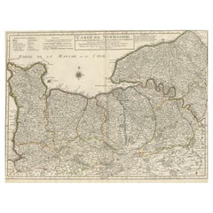
Original Antique Map of Normandy, France
Located in Langweer, NL
Antique map titled 'Carte de Normandie (..)'. Attractive map of Normandy, France. it depicts the
Category
Antique Mid-18th Century Maps
Materials
Paper
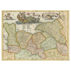
Decorative Original Antique Map of Normandy, France
Located in Langweer, NL
Original antique map titled 'Ducato D'Normandie Scala di Miglia d'Italia'. Very decorative map of
Category
Antique Late 17th Century Maps
Materials
Paper
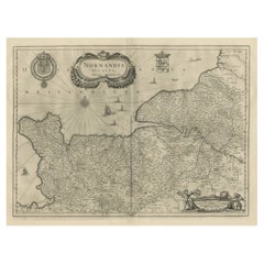
Antique Map of Normandy by Janssonius, 1657
Located in Langweer, NL
Antique map of France titled 'Normandia Ducatus'. Decorative map of the Normandy region, including
Category
Antique 17th Century Maps
Materials
Paper
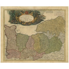
Antique Map Normandy 'France' by Homann Heirs, Published in c.1740
By Homann Heirs
Located in Langweer, NL
(..)'.
Decorative regional map of Normandy, France, circa 1740. Large, decorative title cartouche.
Category
Antique Mid-18th Century German Maps
Materials
Paper
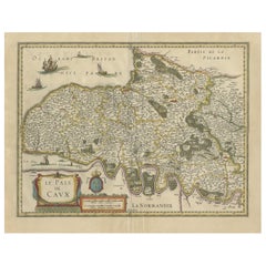
Old Handcolored Antique Map of Pays De Caux in Normandy, France, ca.1640
Located in Langweer, NL
Antique map titled 'Le Pais de Caux'.
Old map of Pays de Caux, France. Pays de Caux is an area
Category
Antique 1640s Maps
Materials
Paper
H 19.49 in W 23.04 in D 0 in
The Normandy Region of France: A 17th C. Hand-colored Map by Sanson and Jaillot
By Nicolas Sanson
Located in Alamo, CA
This large hand-colored map entitled "Le Duché et Gouvernement de Normandie divisée en Haute et
Category
Antique 1690s French Maps
Materials
Paper
H 24.88 in W 38 in D 0.13 in
Recent Sales
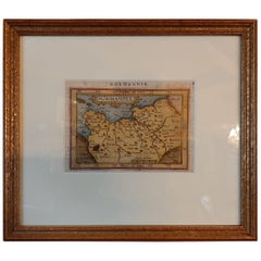
Antique Miniature Map of Normandy by Ortelius, circa 1598
Located in Langweer, NL
Antique map titled 'Normandia'. Miniature map of Normandy, France. Published by A. Ortelius, circa
Category
Antique 16th Century Maps
Materials
Paper
Get Updated with New Arrivals
Save "Map Of Normandy", and we’ll notify you when there are new listings in this category.
Map Of Normandy For Sale on 1stDibs
With a vast inventory of beautiful furniture at 1stDibs, we’ve got just the map of normandy you’re looking for. A map of normandy — often made from paper, fabric and foam — can elevate any home. There are many kinds of the map of normandy you’re looking for, from those produced as long ago as the 18th Century to those made as recently as the 20th Century. A map of normandy is a generally popular piece of furniture, but those created in mid-century modern styles are sought with frequency. Victor Levasseur, Homann Heirs and Ligne Roset each produced at least one beautiful map of normandy that is worth considering.
How Much is a Map Of Normandy?
A map of normandy can differ in price owing to various characteristics — the average selling price 1stDibs is $755, while the lowest priced sells for $192 and the highest can go for as much as $16,556.
Questions About Map Of Normandy
- 1stDibs ExpertApril 5, 2022The interiors of the SS Normandie were auctioned off after the ship caught fire in 1942. One of the Dupas murals can be seen at the Metropolitan Museum of Art. Shop a selection of SS Normandie-inspired pieces from some of the world’s top art dealers on 1stDibs.
