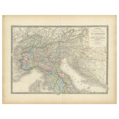
Large Map Of Italy
to
3
17
3
20
6
1
2
14
4
1
3
1
1
1
17
1
1
1
1
12
8
7
3
1
20
20
20
Sort By
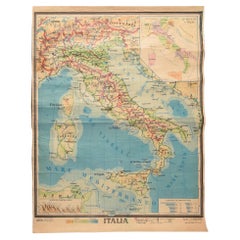
Geographical Map of Italy
Located in Alessandria, Piemonte
BOLIS Publishing House - Bergamo.
A beautiful large map of Italy, on paper but suitably reinforced
Category
Mid-20th Century Italian Other Prints
Materials
Paper
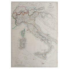
Large Original Antique Map of Italy. John Dower, 1861
Located in St Annes, Lancashire
Great map of Italy
Lithograph engraving by John Dower
Original colour
Published, 1861
Unframed
Category
Antique 1860s English Victorian Maps
Materials
Paper
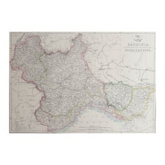
Large Original Antique Map of Piedmont, Italy. John Dower, 1861
Located in St Annes, Lancashire
Great map of Piedmont
Lithograph engraving by John Dower
Original colour
Published, 1861
Category
Antique 1860s English Victorian Maps
Materials
Paper
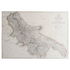
Large Original Antique Map of The South of Italy. John Dower, 1861
Located in St Annes, Lancashire
Great map of the South of Italy
Lithograph engraving by John Dower
Original colour
Published
Category
Antique 1860s English Victorian Maps
Materials
Paper
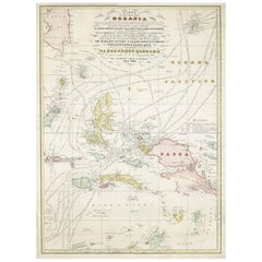
Large Italian Map of Islands of Oceania, incl Papua, Timor, Banda, Ceram, 1855
Located in Langweer, NL
Description: Antique map titled 'Carta di una parte dell'Oceania'. Beautiful large map of the
Category
Antique 1850s Maps
Materials
Paper
H 29.14 in W 21.26 in D 0 in
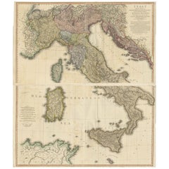
Very Large Double Page Detailed Map of Italy and Surrounding Regions, 1794
Located in Langweer, NL
This is a large (two seperate sheets) and detailed map of Italy, including the southern parts of
Category
Antique 1790s Maps
Materials
Paper
H 25.79 in W 36.23 in D 0 in
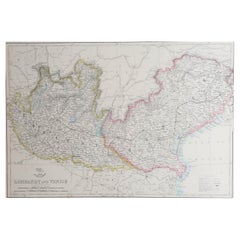
Large Original Antique Map of Lombardy and Venice, Italy. John Dower, 1861
Located in St Annes, Lancashire
Great map of Lombardy and Venice
Lithograph engraving by John Dower
Original colour
Published
Category
Antique 1860s English Victorian Maps
Materials
Paper
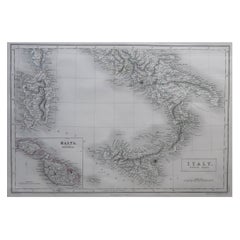
Large Original Antique Map of South Italy and Malta by Sidney Hall, 1847
Located in St Annes, Lancashire
Great map of South Italy and Malta
Drawn by Sidney Hall
Steel engraving by G.Aikman
Category
Antique 1840s Scottish Maps
Materials
Paper
H 12.25 in W 17.25 in D 0.07 in
Antique Map of Northern Italy by Levasseur, 1875
Located in Langweer, NL
Antique map titled 'Carte l'Italie (..)'. Large map of Northern Italy. This map originates from
Category
Antique Late 19th Century Maps
Materials
Paper
Antique Map of Africa by Bordiga Fratelli 'circa 1818'
Located in Langweer, NL
Antique map titled 'Carta dell Africa'. Large and quite scarce Italian map of Africa, reflecting
Category
Antique Early 19th Century Maps
Materials
Paper
Large Paris Porcelain Map of Italy Cup and Saucer, circa 1810
Located in New York, NY
Large Paris porcelain map of Italy cup and saucer, circa 1810.
Category
Antique 1810s French Tea Sets
Materials
Porcelain
Antique Map of Italy by Levasseur, '1875'
Located in Langweer, NL
Antique map titled 'Carte générale de l'Italie (..)'. Large map of Italy. This map originates from
Category
Antique Late 19th Century Maps
Materials
Paper
Large Antique Map of Italy with Corsica, Sardinia, Sicily & Malta, 1854
Located in Langweer, NL
, describing the new limits as confirmed by the definitive treaty of Paris 1815.'
Large map of Italy. From
Category
Antique 19th Century Maps
Materials
Paper
Large Original Vintage Map of Italy, circa 1920
Located in St Annes, Lancashire
Great map of Italy.
Original color. Good condition.
Published by Alexander Gross.
Unframed.
Category
Vintage 1920s English Maps
Materials
Paper
Large Original Antique Map of Sicily, Italy. John Dower, 1861
Located in St Annes, Lancashire
Great map of Sicily
Lithograph engraving by John Dower
Original colour
Published, 1861
Unframed
Category
Antique 1860s English Victorian Maps
Materials
Paper
Large Original Antique Map of Tuscany / Toscana, Italy. John Dower, 1861
Located in St Annes, Lancashire
Great map of Tuscany
Lithograph engraving by John Dower
Original colour
Published, 1861
Category
Antique 1860s English Victorian Maps
Materials
Paper
Large Scale Antique Map of Italy with Two Insets, Including Rome, 1764
Located in Langweer, NL
Antique map titled 'Tabula Italiae Antiquae'.
Large scale map of Italy, covers from Lake Geneva
Category
Antique 18th Century Maps
Materials
Paper
Antique Map of Southern Italy by Levasseur '1875'
Located in Langweer, NL
Antique map titled 'Italy, partie sud'. Large map of Southern Italy. This map originates from
Category
Antique Late 19th Century Maps
Materials
Paper
Midcentury Map of Italy, Large Pull Down
Located in Alhambra, CA
Gorgeous wall hanging map of Italy, c. 1960. Titled ITALIA - FISICO-POLITICA. Oversized "pull down
Category
Vintage 1960s Italian Mid-Century Modern Maps
Very Large Vintage map of Asia
Located in Los Angeles, CA
Spectacular Italian Map, pre WWII. Printed on canvas. Great colors. We also have North America
Category
Vintage 1930s Italian Maps
Materials
Wood, Plexiglass, Linen
Get Updated with New Arrivals
Save "Large Map Of Italy", and we’ll notify you when there are new listings in this category.
Large Map Of Italy For Sale on 1stDibs
At 1stDibs, there are many versions of the ideal large map of Italy for your home. Each large map of Italy for sale was constructed with extraordinary care, often using paper, metal and stone. If you’re shopping for a large map of Italy, we have 39 options in-stock, while there are 1 modern editions to choose from as well. Whether you’re looking for an older or newer large map of Italy, there are earlier versions available from the 18th Century and newer variations made as recently as the 21st Century. Each large map of Italy bearing mid-century modern, Baroque or modern hallmarks is very popular. Alison Castle, Casigliani and Clauco B. Tiozzo each produced at least one beautiful large map of Italy that is worth considering.
How Much is a Large Map Of Italy?
Prices for a large map of Italy start at $49 and top out at $155,000 with the average selling for $1,003.
