Biblical Maps
to
5
34
1
31
24
11
7
6
5
4
4
3
3
3
2
2
1
1
1
1
1
1
1
1
1
1
1
1
1
Sort By
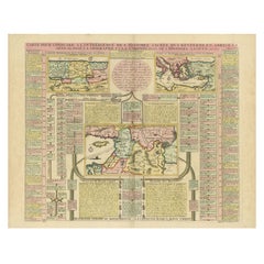
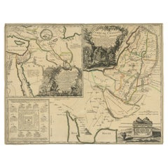
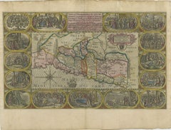
Biblical Map and Family Trees of the Holy Land by Chatelain, ca. 1720
Located in Langweer, NL
Title: 1720 Chatelain Map of the Holy Land with Biblical Family Trees and Chronology
Description
Category
Antique 1710s Maps
Materials
Paper
H 21.66 in W 24.81 in D 0.01 in
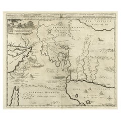
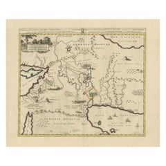
Biblical Map of the Region from the Mediterranean through the Persian Gulf, 1720
Located in Langweer, NL
Antique map titled 'Carte de la Situation du Paradis Terrestre, Et des Pais Habitez par les
Category
Antique 1720s Maps
Materials
Paper
H 17.09 in W 20.08 in D 0 in
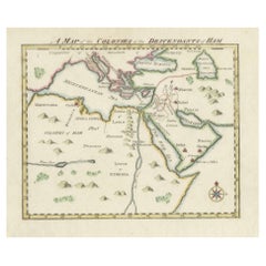
18th-Century Biblical Map of the Colonies of Ham: Africa, Middle East and Beyond
Located in Langweer, NL
audiences interested in biblical history.
### Significance:
This map is an intriguing blend of geography
Category
Antique 1790s Maps
Materials
Paper
H 9.06 in W 11.03 in D 0 in
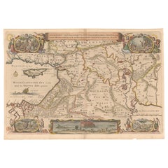
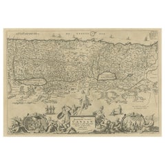
Circa 1686 Daniel Stoopendaal Map: Biblical Sites from Paradise to Canaan
Located in Langweer, NL
Circa 1686 Daniel Stoopendaal Map: Biblical Sites from Paradise to Canaan
This circa 1686 hand
Category
Antique 1680s Maps
Materials
Paper
H 11.9 in W 18.3 in D 0.002 in
Antique Map of the Location of the Garden of Eden and Travels of the Patriarchs
Located in Langweer, NL
of biblical maps and narratives published by Covens & Mortier. The firm, founded in Amsterdam in 1721
Category
Antique 1720s Maps
Materials
Paper
H 20.48 in W 24.41 in D 0.01 in
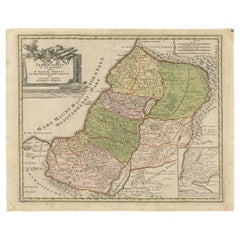
1718 Holy Land Map - Twelve Tribes, Six Provinces, Hand-Colored, Antique Map
Located in Langweer, NL
Adelbulner. The map represents the biblical Holy Land divided into the Twelve Tribes of Israel, later
Category
Antique 1710s Maps
Materials
Paper
H 13.98 in W 17.33 in D 0.01 in
Detailed Map of Arabian Peninsula and Canaan, Highlighting Biblical Territories
Located in Langweer, NL
understanding and biblical interpretations of the mid-18th century.
The map is associated with the works of
Category
Antique 1750s Maps
Materials
Paper
H 21.86 in W 16.74 in D 0 in
Antique Map of Israel Filled with Biblical Scenes, Published in 1748
Located in Langweer, NL
Christo neffens zyne Apostelen'.
Antique map of Israel filled with biblical scenes. A compass rose
Category
Antique 1740s Maps
Materials
Paper
1625 Petrus Plancius / Cloppenburg Map of the Holy Land with Biblical Vignettes
Located in Langweer, NL
1625 Petrus Plancius / Johannes Cloppenburg Map of the Holy Land with Biblical Vignettes
This
Category
Antique 1620s Maps
Materials
Paper
H 15.36 in W 20.48 in D 0 in
Antique Map of the Biblical Kingdom of Israel by Lindeman, c.1758
Located in Langweer, NL
overheerde Landschappen (..).' Map of the biblical Kingdom of Israel under the Kings Saul, David and Solomon
Category
Antique 18th Century Maps
Materials
Paper
Antique Map of the Biblical Land of Canaan by Lindeman, c.1758
Located in Langweer, NL
bezitters (..).' - Map of the biblical Land of Canaan. With large title cartouche, compass rose and scale
Category
Antique 18th Century Maps
Materials
Paper
1767 D’Anville Map of the Holy Land: Ancient Divisions and Biblical Geography
Located in Langweer, NL
Ancient Map of Palestine or the Holy Land by D'Anville (1767)
This detailed map, created by the
Category
Antique 1670s Maps
Materials
Paper
H 20.67 in W 27.76 in D 0.01 in
Biblical Journeys: Apostle Paul's Voyages and the Israelites' Exodus, 1856
Located in Langweer, NL
century, the map blends geographical detail with biblical history to vividly recount Paul’s travels
Category
Antique 1850s Maps
Materials
Paper
H 12.01 in W 13 in D 0.12 in
1720 Weigel Engraving of Jerusalem: A Biblical View from Josephus' Perspective
Located in Langweer, NL
into the sacred city's historical and biblical significance. The map is based on the accounts of
Category
Antique 1720s Maps
Materials
Paper
H 13.86 in W 17.13 in D 0.01 in
1709 Map of the Holy Land - Twelve Tribes of Israel, Hand-Colored, Antique Map
Located in Langweer, NL
Information:
This map serves as a significant historical artifact, blending religious, biblical, and
Category
Antique Early 1700s Maps
Materials
Paper
H 15.75 in W 19.69 in D 0.01 in
Turkey in Asia: Biblical Regions and the Holy Land from The Royal Atlas (1856)
Located in Langweer, NL
This antique map titled "Turkey in Asia (Biblical Regions) The Holy Land and its Borders" comes
Category
Antique Mid-19th Century Maps
Materials
Paper
H 22.96 in W 18.63 in D 0.02 in
Antique Map of Southern Europe by F. Delamarche, 1837
Located in Langweer, NL
exquisite antique map offers a unique glimpse into the historical and biblical geography as understood in
Category
Antique Mid-19th Century Maps
Materials
Paper
The Antient City of Jerusalem and Places Adjacent, Hand-Colored Map, 1699
Located in Langweer, NL
, and prominent biblical sites.
Calvary is notably shown outside the city walls, emphasizing the map
Category
Antique 1690s Maps
Materials
Paper
H 9.06 in W 11.03 in D 0 in
Historical Map of Canaan with Insets of Jerusalem and Surrounding Regions, 1880
Located in Langweer, NL
of archaeological significance or areas mentioned in biblical and historical texts.
This map would
Category
Antique 1880s Maps
Materials
Paper
H 15.56 in W 18.51 in D 0 in
Original Antique Map of Jerusalem Based on Josephus' Writings by Weigel, ca.1720
Located in Langweer, NL
into the sacred city's historical and biblical significance. The map is based on the accounts of
Category
Antique 1720s Maps
Materials
Paper
H 13.86 in W 17.13 in D 0.01 in
1750 Map of the Holy Land: The Land of Canaan and the Twelve Tribes
Located in Langweer, NL
regions.
- Artistic cartouches with Judaic and biblical symbolism.
- Inset map offering a broader regional
Category
Antique 1750s Maps
Materials
Paper
Moullart-Sanson Map of the Holy Land and Sacred Geography of the Old Testament
Located in Langweer, NL
"1716 Moullart-Sanson Map of the Holy Land and Sacred Geography of the Old Testament"
This
Category
Antique 1710s Maps
Materials
Paper
H 21.26 in W 31.11 in D 0.01 in
Antique Map of The Nile, Egypt and the Red Sea by Bachiene, 1765
Located in Langweer, NL
of Biblical Egypt and the Red Sea. With title cartouche, compass rose and scale. This map originates
Category
Antique 18th Century Maps
Materials
Paper
1732 Henri Chatelain Map of the Holy Land Divided Among the Tribes of Israel
Located in Langweer, NL
collectors of Judaica, biblical cartography, or antique maps.
The map also features inset notes and
Category
Antique 1710s Maps
Materials
Paper
H 21.66 in W 24.81 in D 0.01 in
Map of Biblical Jerusalem
Located in New York, NY
Original copper engraving hand-colored at the time of publication. Nuremberg, 1720.
Category
1720s Prints and Multiples
Materials
Paper
1632 Decorative Map of the Holy Land, Insets of Jerusalem and Biblical Artefacts
Located in Langweer, NL
Title: 1632 Decorative Map of the Holy Land with Insets of Jerusalem and Biblical Artefacts
Category
Antique 1630s Prints
Materials
Paper
H 15.44 in W 34.14 in D 0.01 in
Antique Bible Print of Abram from the Biblia Sacra, 1743
Located in Langweer, NL
typically be expected to include various types of artwork, such as illustrations of biblical scenes, maps
Category
Antique Mid-18th Century Prints
Materials
Paper
Antique Map of the Biblical Land of Canaan by Lindeman, c.1758
Located in Langweer, NL
, die in de H. Schrift genoemt zyn, worden aangewezen.' Map of the biblical Land of Canaan. With large
Category
Antique 18th Century Maps
Materials
Paper
Antique Map Travel Children of Israel by Keur, 1748
Located in Langweer, NL
Antique biblical map titled 'Perigrinatie ofte veertigh-Iarige Reyse der Kinderen Israels uyt
Category
Antique Mid-18th Century Dutch Maps
Materials
Paper
Antique Map of the Holy Land, c.1700
Located in Langweer, NL
Antique biblical map titled 'Perigrinatie ofte veertigh-Iarige Reyse der Kinderen Israels uyt
Category
Antique 17th Century Maps
Materials
Paper
Antique Map of the Holy Land by Keur, 1748
Located in Langweer, NL
Antique biblical map titled 'Perigrinatie ofte veertigh-Iarige Reyse der Kinderen Israels uyt
Category
Antique 18th Century Maps
Materials
Paper
Antique Map of Biblical Palestine with Inset of Israel's 12 Tribes, 1758
Located in Langweer, NL
verdeelt.' Map of biblical Palestine. Inset map of the land of Israel divided in 12 tribes according to
Category
Antique 18th Century Maps
Materials
Paper
H 15.16 in W 18.51 in D 0 in
Old Map of the Holy Land, Palestine, Promised Land and Biblical Regions, 1608
Located in Langweer, NL
Title: 1584 Ortelius Map of the Holy Land, Palestine, Promised Land, and Biblical Regions
Category
Antique Early 1600s Maps
Materials
Paper
H 17.52 in W 21.93 in D 0.01 in
The Biblical Kingdom of Israel under the Kings Saul, David and Solomon, Ca.1758
Located in Langweer, NL
overheerde Landschappen (..).'
Map of the biblical Kingdom of Israel under the Kings Saul, David and
Category
Antique 1750s Maps
Materials
Paper
H 15.16 in W 19.3 in D 0 in
Sacred Map of the Promised Land, Twelve Tribes of Israel, Sanson, 1705
Located in Langweer, NL
Biblical figures interacting in front of a smaller inset version of the map. The hand coloring emphasizes
Category
Antique Early 1700s Maps
Materials
Paper
H 9.65 in W 12.49 in D 0.01 in
Get Updated with New Arrivals
Save "Biblical Maps", and we’ll notify you when there are new listings in this category.
Biblical Maps For Sale on 1stDibs
There is a range of biblical maps for sale on 1stDibs. The range of distinct biblical maps — often made from paper — can elevate any home. Biblical maps have long been popular, with older editions for sale from the 18th Century and newer versions made as recently as the 18th Century.
How Much are Biblical Maps?
Prices for biblical maps can differ depending upon size, time period and other attributes — at 1stDibs, biblical maps begin at $189 and can go as high as $855, while the average can fetch as much as $324.
