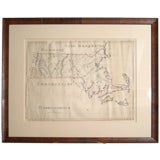
Antique Maps Massachusetts
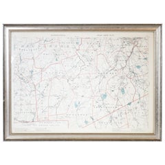
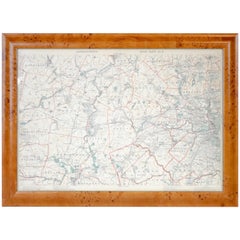
1891 Map of Norfolk County Massachusetts
Located in Norwell, MA
1891 map of Norfolk county Massachusetts including the towns of Wrentham, Franklin, Medfield
Category
19th Century Antique Maps Massachusetts
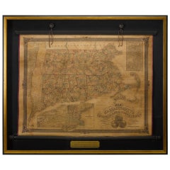
1854 Map of Massachusetts, Connecticut and Rhode Island, Antique Wall Map
Located in Colorado Springs, CO
This striking wall map was published in 1854 by Ensign, Bridgman & Fanning and has both full
Category
19th Century American Antique Maps Massachusetts
Materials
Paper
H 38.13 in W 45 in D 3.5 in
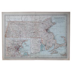
Large Original Antique Map of Massachusetts, USA, circa 1900
Located in St Annes, Lancashire
Fabulous map of Massachusetts
In 2 sheets. They can be joined but I have not done it
Original
Category
1890s American Antique Maps Massachusetts
Materials
Paper
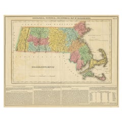
Antique Geographical, Historical and Statistical Map of Massachusetts, 1822
Located in Langweer, NL
This attractive map of Massachusetts presents a finely detailed overview of the state in the first
Category
1820s Antique Maps Massachusetts
Materials
Paper
H 17.13 in W 21.46 in D 0 in
Original Antique Map of the American State of Massachusetts, 1903
Located in St Annes, Lancashire
Antique map of Vermont and New Hampshire
Published By A & C Black. 1903
Original colour
Good
Category
Early 1900s English Antique Maps Massachusetts
Materials
Paper
Original 1891 Walker Map
Located in Norwell, MA
Original 1891 map of Massachusetts by Walker. Towns include Cambridge, Boston, Dedham, Ashland
Category
19th Century Antique Maps Massachusetts
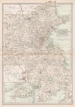
Massachusetts, Eastern Part. USA. Century Atlas state antique vintage map
Located in Melbourne, Victoria
'The Century Atlas. Massachusetts, Eastern Part'
Original antique map, 1903.
Central fold as
Category
Early 20th Century Victorian Antique Maps Massachusetts
Materials
Lithograph
H 15.75 in W 11.62 in
Recent Sales
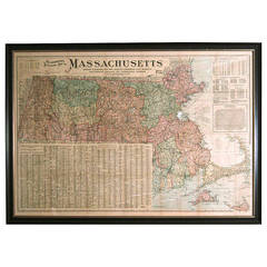
Giant Framed Map of Massachusetts, circa 1903
By Scarborough Company
Located in Essex, MA
A giant framed map of the Commonwealth of Massachusetts, measuring 62" wide x 44" high and
Category
Early 20th Century American Antique Maps Massachusetts
Materials
Paper, Plexiglass, Wood
SCHOOL GIRL HAND DRAWN MAP OF MASSACHUSETTS, circa 1815
Located in Essex, MA
Pen and ink school girl hand drawn map of Massachusetts, rendered in great detail with topography
Category
19th Century American Antique Maps Massachusetts
Materials
Paper, Ink, Pen
1824 Massachusetts, Connecticut and Rhode Island Antique Wall Map by E. Ruggles
Located in Colorado Springs, CO
This rare and detailed 1824 wall map by Edward Ruggles depicts eastern New York to Cape Cod
Category
1820s American Antique Maps Massachusetts
Materials
Paper
H 47 in W 52 in L 47 in
1918 George Eldridge Chart of Massachusetts Bay
Located in Norwell, MA
Rare early twentieth century chart of Cape Cod bay by George Eldridge showing Massachusetts Bay
Category
1910s North American Antique Maps Massachusetts
Materials
Paper
1842 Map of Boston
Located in Essex, MA
An 1842 Map of Boston, Massachusetts and surrounding communities, published by the Society for the
Category
19th Century English Antique Maps Massachusetts
1850 Map of Massachusetts, Connecticut, and Rhode Island, Antique, Hand-Colored
Located in Colorado Springs, CO
This attractive pocket map depicts the New England states of Massachusetts, Connecticut, and Rhode
Category
1850s American Antique Maps Massachusetts
Materials
Paper
H 29.75 in W 34 in D 2.25 in
Rare Decorative Map of Nantucket Designed Jack Atherton, circa 1937
Located in Nantucket, MA
Jack (Bonney) Atherton.
A decorative map of Nantucket Island, Massachusetts.
LeBaron-Bonney Co
Category
Early 20th Century American Folk Art Antique Maps Massachusetts
Large Original Antique Map of Massachusetts, USA, 1894
By Rand McNally & Co.
Located in St Annes, Lancashire
Fabulous map of Massachusetts.
Original color.
By Rand, McNally & Co.
Published, 1894
Category
1890s American Antique Maps Massachusetts
Materials
Paper
Original Antique Map of the American State of Massachusetts, 1889
Located in St Annes, Lancashire
Great map of Massachusetts
Drawn and Engraved by W. & A.K. Johnston
Published By A & C Black
Category
1880s Scottish Victorian Antique Maps Massachusetts
Materials
Paper
Original Antique Map of The American State of Massachusetts, 1889
Located in St Annes, Lancashire
Great map of Massachusetts
Drawn and Engraved by W. & A.K. Johnston
Published By A & C Black
Category
1880s Scottish Victorian Antique Maps Massachusetts
Materials
Paper
Antique Map of Massachusetts, Connecticut and Rhode Island by Johnson, 1872
Located in Langweer, NL
Antique map titled 'Johnson's Massachusetts, Connecticut and Rhode Island'. Original map of
Category
Late 19th Century Antique Maps Massachusetts
Materials
Paper
H 17.92 in W 26.58 in D 0.02 in
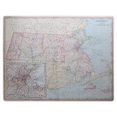
Massachusetts. USA Century Atlas state antique vintage map
Located in Melbourne, Victoria
'The Century Atlas. Massachusetts'
Inset map of 'Boston and Vicinity'.
Original antique map, 1903
Category
Early 20th Century Victorian Antique Maps Massachusetts
Materials
Lithograph
Map of Massachusetts Sea Coast circa1856
Located in Bridgehampton, NY
US coastal survey map of the Massachusetts coast line, hand colored lithograph in amazing condition
Category
19th Century American Antique Maps Massachusetts
People Also Browsed
Iridescent Ammonite Fossil
Located in London, GB
Large spectacular iridescent ammonite fossil.
75 Million y/o
A magnificent example of one of the most spectacular fossils. A large and intensely vibrant ammonite, Placenticeras cost...
Category
15th Century and Earlier Canadian Antique Maps Massachusetts
Materials
Stone
Get Updated with New Arrivals
Save "Antique Maps Massachusetts", and we’ll notify you when there are new listings in this category.
Antique Maps Massachusetts For Sale on 1stDibs
Find a variety of antique maps massachusetts available on 1stDibs. Frequently made of paper, plastic and plexiglass, all antique maps massachusetts available were constructed with great care. There are all kinds of antique maps massachusetts available, from those produced as long ago as the 19th Century to those made as recently as the 20th Century. There are many kinds of antique maps massachusetts to choose from, but at 1stDibs, Victorian antique maps massachusetts are of considerable interest. There have been many well-made antique maps massachusetts over the years, but those made by Rand McNally & Co. and Scarborough Company are often thought to be among the most beautiful.
How Much are Antique Maps Massachusetts?
Antique maps massachusetts can differ in price owing to various characteristics — the average selling price at 1stDibs is $1,750, while the lowest priced sells for $25 and the highest can go for as much as $9,500.
