Antique Map Of Hawaii
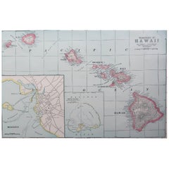
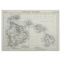
Original Antique Map of Hawaii And Adjacent Islands. C.1900
Located in St Annes, Lancashire
Fabulous map of Hawaii. With a vignette of Honolulu
Original color.
Engraved and printed by the
Category
1890s American Antique Map Of Hawaii
Materials
Paper
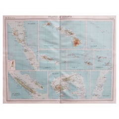
Large Original Vintage Map of The Pacific Islands Including Hawaii
Located in St Annes, Lancashire
Great map of The Pacific Islands
Unframed
Original color
By John Bartholomew and Co
Category
1920s British Antique Map Of Hawaii
Materials
Paper
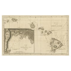
Map of the Hawaiian Islands with a Large Inset of Karakakooa Bay, 1803
Located in Langweer, NL
Antique map titled 'Kaart van de Sandwich Eilanden'.
Map of the Hawaiian Islands with a large
Category
Early 1800s Antique Map Of Hawaii
Materials
Paper
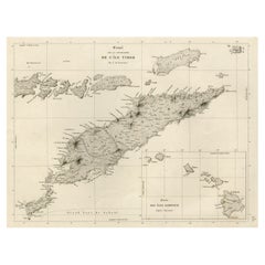
Rare Antique Map with Timor and Nearby Islands Plus an Inset of Hawaii, 1825
Located in Langweer, NL
Antique map titled 'Essai sur la Geographie de l'Ile Timor.'
A map showing Timor and the
Category
1820s Antique Map Of Hawaii
Materials
Paper
H 13.39 in W 19.69 in D 0 in
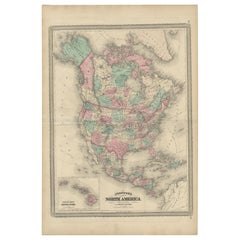
Antique Map of North America by Johnson, '1872'
Located in Langweer, NL
the Hawaiian group or Sandwich Islands. This map originates from 'Johnson's New Illustrated Family
Category
Late 19th Century Antique Map Of Hawaii
Materials
Paper
Recent Sales
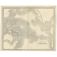
Antique Map of Islands in the Pacific Ocean, Centered on Hawaï, 1844
Located in Langweer, NL
Antique map titled 'Islands in the Pacific Ocean'.
Detailed map of the Pacific, centered on
Category
19th Century Antique Map Of Hawaii
Materials
Paper
Original Antique Map of Hawaii and Hispaniola, 1889
Located in St Annes, Lancashire
Great map of Hawaii and Hispaniola
Drawn and Engraved by W. & A.K. Johnston
Published By A
Category
1880s Scottish Victorian Antique Map Of Hawaii
Materials
Paper
Antique Map of Hawaii, New Zealand, Fiji and Surrounding Islands
Located in Langweer, NL
Original antique map of Hawaii, New Zealand, Fiji, Tonga, Samoa, French Polynesia, Marquesas, and
Category
Late 19th Century Antique Map Of Hawaii
Materials
Paper
Antique Map of the Philippine Islands and Hawaii, 1903
Located in Langweer, NL
Colorful double page map, centre fold as issued. Map number and title on verso. Published in
Category
Early 20th Century Antique Map Of Hawaii
Large Original Vintage Map of The Pacific Islands Including Hawaii
Located in St Annes, Lancashire
Great map of The Pacific Islands
Unframed
Original color
By John Bartholomew and Co
Category
1920s British Antique Map Of Hawaii
Materials
Paper
Coastal Views from Captain Cook's Travels, with the Coastline of Hawaii, 1803
Located in Langweer, NL
the coastline of Hawaii. Originates from 'Reizen Rondom de Waereld door James Cook (..)'.
Artists
Category
Early 1800s Antique Map Of Hawaii
Materials
Paper
H 10.24 in W 17.33 in D 0 in
The King of Owyhee, Sandwich Isles 'Hawaii' with Gifts for Captain Cook, 1803
Located in Langweer, NL
Antique print Hawaï titled 'Terreeoboo, Koning van Owhijee, Kapitein Cook geschenken brengende'.
Antique print depicting Tereoboo, King of Owyhee, bringing presents to Captain Co...
Category
Early 1800s Antique Map Of Hawaii
Materials
Paper
H 11.03 in W 16.74 in D 0 in
Hawaii Our New Possessions by Musick First Edition
Located in Dallas, TX
A Map Of The Hawaiian Islands, Published by Funk & Wagnalls Company, New York and London , Copyright
Category
Late 19th Century American Country Antique Map Of Hawaii
Materials
Paper
"A Map of Honolulu and the Sandwich Islands"" Vintage Original Hawaii Poster
Located in Boston, MA
A spectacular rarity from the early days of Hawaiian travel. This large map of Honolulu is
Category
1920s Realist Antique Map Of Hawaii
Materials
Lithograph
People Also Browsed
'Waikiki by Moonlight', Hawai'i, Honolulu, Oahu, Hawaiian Beach Oil. South Seas
Located in Santa Cruz, CA
Signed lower right, 'James Mak' (American, 20th century) and painted circa 1975.
A large, Modernist evening view of Waikiki's sparkling city lights beneath the the silhouette of Dia...
Category
1970s Expressionist Antique Map Of Hawaii
Materials
Canvas, Board, Oil
James Mak'Waikiki by Moonlight', Hawai'i, Honolulu, Oahu, Hawaiian Beach Oil. South Seas, Circa 1975
H 20 in W 39.5 in D 0.13 in
The Dole Map of the Hawaiian Islands.
Located in New York, NY
Original color lithograph. Honolulu. Hawaiian Pineapple Company, 1950.
Category
1950s Antique Map Of Hawaii
Materials
Paper
Get Updated with New Arrivals
Save "Antique Map Of Hawaii", and we’ll notify you when there are new listings in this category.
Antique Map Of Hawaii For Sale on 1stDibs
Choose from an assortment of styles, material and more with respect to the antique map of hawaii you’re looking for at 1stDibs. Each antique map of hawaii for sale was constructed with extraordinary care, often using paper and plaster. Your living room may not be complete without an antique map of hawaii — find older editions for sale from the 18th Century and newer versions made as recently as the 19th Century. Each antique map of hawaii bearing Georgian hallmarks is very popular. You’ll likely find more than one antique map of hawaii that is appealing in its simplicity, but Jacques-Nicolas Bellin, Cook and James Cook produced versions that are worth a look.
How Much is a Antique Map Of Hawaii?
Prices for an antique map of hawaii can differ depending upon size, time period and other attributes — at 1stDibs, they begin at $147 and can go as high as $19,500, while the average can fetch as much as $438.
