Antique Maine Maps
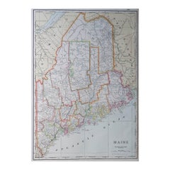
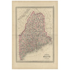
Large Original Antique Map of Maine, USA, C.1900
Located in St Annes, Lancashire
Fabulous map of Maine
Original color
Engraved and printed by the George F. Cram Company
Category
1890s American Antique Maine Maps
Materials
Paper
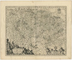
Antique Map of the Maine Region by Janssonius, 1657
By Johannes Janssonius
Located in Langweer, NL
Maine, France. This map originates from 'Atlas Novus, Sive Theatrum Orbis Orbis Terrarum: In quo Galliae
Category
17th Century Antique Maine Maps
Materials
Paper
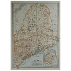
Original Antique Map of the American State of Maine, 1903
Located in St Annes, Lancashire
Antique map of Maine
Published By A & C Black. 1903
Original colour
Good condition
Unframed
Category
Early 1900s English Antique Maine Maps
Materials
Paper
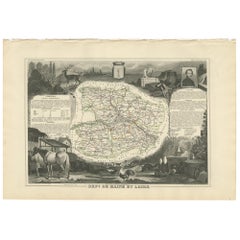
Antique Map of Maine et Loire ‘France’ by V. Levasseur, 1854
Located in Langweer, NL
Antique map titled 'Dépt. de Maine et Loire'. Map of the French department of Maine et Loire
Category
Mid-19th Century Antique Maine Maps
Materials
Paper
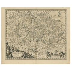
Antique Map of the Region of Maine by Janssonius, circa 1650
By Johannes Janssonius
Located in Langweer, NL
Antique map of France titled 'Diocese du Mans vulgo le Mains'. Decorative map of the region of
Category
Mid-17th Century Antique Maine Maps
Materials
Paper
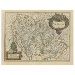
Antique Map of the French Province Maine, Showing Le Mans, Alencon Etc., Ca1640
Located in Langweer, NL
Antique map titled 'Le Maine'.
Old map of the province of Maine, France. It shows the cities of
Category
1640s Antique Maine Maps
Materials
Paper
H 19.49 in W 23.04 in D 0 in
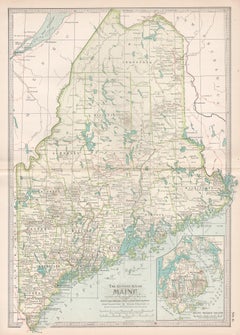
Maine. USA Century Atlas state antique vintage map
Located in Melbourne, Victoria
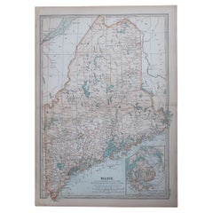
'The Century Atlas. Maine'
Original antique map, 1903.
Central fold as issued. Map name and
Category
Early 20th Century Victorian Antique Maine Maps
Materials
Lithograph
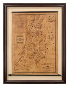
Map of Palestine or Judea, Illustrating the History of the New Testament
By Rev. Nathan B. Rogers
Located in New York, NY
of meticulous research by a minister working in isolation in rural Maine. The map shows New Testament
Category
19th Century Antique Maine Maps
Materials
Canvas, Paper, Ink, Pen
Recent Sales
Antique Map of Maine by Johnson, 1872
Located in Langweer, NL
Antique map titled 'Johnson's Maine'. Original map of Maine. This print originates from 'Johnson's
Category
Late 19th Century Antique Maine Maps
Materials
Paper
Original Antique Map of Maine, circa 1890
Located in St Annes, Lancashire
Great map of Maine
Original color.
Published: circa 1890
Repairs to few minor edge tears
Category
1890s English Other Antique Maine Maps
Materials
Paper
1887 Maine Wall Map with Original Hanging Hardware
Located in Colorado Springs, CO
This is an 1887 Wall Map of the State of Maine by Colby & Stuart. This highly detailed Map of Maine
Category
19th Century American Antique Maine Maps
Large Original Antique Map of Maine, USA, 1894
By Rand McNally & Co.
Located in St Annes, Lancashire
Fabulous map of Maine
Original color
By Rand, McNally & Co.
Published, 1894
Unframed
Category
1890s American Antique Maine Maps
Materials
Paper
Original Antique Map of The American State of Maine, 1889
Located in St Annes, Lancashire
Great map of Maine
Drawn and Engraved by W. & A.K. Johnston
Published By A & C Black
Category
1880s Scottish Victorian Antique Maine Maps
Materials
Paper
Antique Map of Maine et Loire ‘France’ by V. Levasseur, 1854
Located in Langweer, NL
Antique map titled 'Dépt. de Maine et Loire'. Map of the French department of Maine et Loire
Category
Mid-19th Century Antique Maine Maps
Maine. USA Century Atlas state antique vintage map
Located in Melbourne, Victoria
'The Century Atlas. Maine'
Original antique map, 1903.
Central fold as issued. Map name and
Category
Early 20th Century Victorian Antique Maine Maps
Materials
Lithograph
Maine et Loire, France. Antique map of French department, 1856
By Victor Levasseur
Located in Melbourne, Victoria
'Dept. de Maine et Loire Steel', engraving with original outline hand-colouring., 1856, from
Category
19th Century Naturalistic Antique Maine Maps
Materials
Engraving
People Also Browsed
Rare Victorian Firescreen with Taxidermy Hummingbirds by Henry Ward
By Henry Ward
Located in Amsterdam, NL
England, third quarter of the 19th century
On two scrolling foliate feet with casters, above which a rectangular two-side glazed frame, with on top a two-sided shield with initial...
Category
Mid-19th Century English High Victorian Antique Maine Maps
Materials
Other
H 51.19 in W 55.12 in D 201.58 in
Get Updated with New Arrivals
Save "Antique Maine Maps", and we’ll notify you when there are new listings in this category.
Antique Maine Maps For Sale on 1stDibs
An assortment of antique maine maps is available at 1stDibs. The range of distinct antique maine maps — often made from paper — can elevate any home. Antique maine maps have long been popular, with older editions for sale from the 18th Century and newer versions made as recently as the 19th Century. Antique maine maps made by Victorian designers — are very popular at 1stDibs. Many antique maine maps are appealing in their simplicity, but Johannes Janssonius produced popular antique maine maps that are worth a look.
How Much are Antique Maine Maps?
The average selling price for at 1stDibs is $231, while they’re typically $25 on the low end and $2,000 highest priced.
